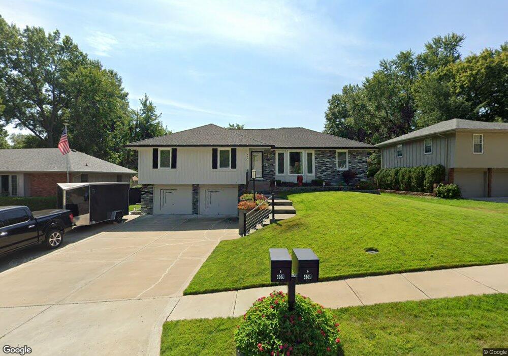
409 Pershing St Liberty, MO 64068
Estimated Value: $269,000 - $329,000
2
Beds
2
Baths
1,436
Sq Ft
$215/Sq Ft
Est. Value
About This Home
This home is located at 409 Pershing St, Liberty, MO 64068 and is currently estimated at $308,148, approximately $214 per square foot. 409 Pershing St is a home located in Clay County with nearby schools including Alexander Doniphan Elementary School, Discovery Middle School, and Liberty High School.
Ownership History
Date
Name
Owned For
Owner Type
Purchase Details
Closed on
Nov 6, 2018
Sold by
Wood James R and Wood Carole M
Bought by
Wood James Ray and Wood Carole Maxene
Current Estimated Value
Purchase Details
Closed on
Jan 11, 2002
Sold by
Wood James R and Wood Carole M
Bought by
Wood James R and Wood Carole M
Home Financials for this Owner
Home Financials are based on the most recent Mortgage that was taken out on this home.
Original Mortgage
$54,200
Interest Rate
6.8%
Create a Home Valuation Report for This Property
The Home Valuation Report is an in-depth analysis detailing your home's value as well as a comparison with similar homes in the area
Home Values in the Area
Average Home Value in this Area
Purchase History
| Date | Buyer | Sale Price | Title Company |
|---|---|---|---|
| Wood James Ray | -- | None Available | |
| Wood James R | -- | Thomson Title Corp |
Source: Public Records
Mortgage History
| Date | Status | Borrower | Loan Amount |
|---|---|---|---|
| Closed | Wood James R | $54,200 |
Source: Public Records
Tax History
| Year | Tax Paid | Tax Assessment Tax Assessment Total Assessment is a certain percentage of the fair market value that is determined by local assessors to be the total taxable value of land and additions on the property. | Land | Improvement |
|---|---|---|---|---|
| 2025 | $3,320 | $49,250 | -- | -- |
| 2024 | $3,320 | $43,170 | -- | -- |
| 2023 | $3,376 | $43,170 | $0 | $0 |
| 2022 | $3,212 | $40,550 | $0 | $0 |
| 2021 | $3,187 | $40,546 | $6,650 | $33,896 |
| 2020 | $3,009 | $35,950 | $0 | $0 |
| 2019 | $3,008 | $35,948 | $5,700 | $30,248 |
Source: Public Records
Map
Nearby Homes
- 429 Pershing St
- 803 Melrose St
- 607 Glendale Rd
- 409 Wilshire Blvd
- Lot 2 Bent Oaks Dr
- 2116 Winding Woods Dr
- Lot 2A Oak Crest Dr
- 1561 Parkside Dr
- 8816 NE 73rd Terrace
- 807 Conistor Ln
- 1804 W Liberty Dr
- 717 Riverwood Dr
- 8801 Orchard St
- 7521 N Stark Ave
- 7436 N Lewis Ave
- 1312 Wellington Way
- 6900 Fulton Rd
- 1768 Homestead Dr
- 7629 N Booth Ave
- 7645 N Booth Ave
- 413 Pershing St
- 405 Pershing St
- 417 Pershing St
- 410 Kingsley St
- 406 Kingsley St
- 900 Wilshire Blvd
- 904 Wilshire Blvd
- 414 Kingsley St
- 414 Kingsley Ave
- 408 Pershing St
- 404 Pershing St
- 412 Pershing St
- 421 Pershing St
- 400 Pershing St
- 416 Pershing St
- 402 Kingsley Ave
- 402 Kingsley St
- 418 Kingsley St
- 420 Pershing St
- 425 Pershing St
Your Personal Tour Guide
Ask me questions while you tour the home.