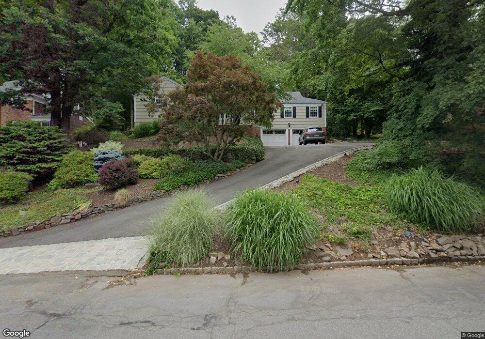
41 Gloucester Rd Summit, NJ 07901
Estimated Value: $1,009,000 - $2,112,000
Studio
--
Bath
2,937
Sq Ft
$546/Sq Ft
Est. Value
About This Home
This home is located at 41 Gloucester Rd, Summit, NJ 07901 and is currently estimated at $1,604,693, approximately $546 per square foot. 41 Gloucester Rd is a home located in Union County with nearby schools including L C Johnson Summit Middle School, Summit Sr High School, and Oak Knoll School of the Holy Child.
Ownership History
Date
Name
Owned For
Owner Type
Purchase Details
Closed on
Jul 1, 1996
Sold by
Mankoff Alan H and Mankoff Phyllis
Bought by
Mankoff Alan H and Mankoff Phyllis
Current Estimated Value
Create a Home Valuation Report for This Property
The Home Valuation Report is an in-depth analysis detailing your home's value as well as a comparison with similar homes in the area
Home Values in the Area
Average Home Value in this Area
Purchase History
| Date | Buyer | Sale Price | Title Company |
|---|---|---|---|
| Mankoff Alan H | -- | -- |
Source: Public Records
Tax History
| Year | Tax Paid | Tax Assessment Tax Assessment Total Assessment is a certain percentage of the fair market value that is determined by local assessors to be the total taxable value of land and additions on the property. | Land | Improvement |
|---|---|---|---|---|
| 2025 | $23,008 | $528,200 | $300,200 | $228,000 |
| 2024 | $22,855 | $528,200 | $300,200 | $228,000 |
| 2023 | $22,855 | $528,200 | $300,200 | $228,000 |
| 2022 | $22,623 | $528,200 | $300,200 | $228,000 |
| 2021 | $22,802 | $528,200 | $300,200 | $228,000 |
| 2020 | $23,030 | $528,200 | $300,200 | $228,000 |
| 2019 | $23,056 | $528,200 | $300,200 | $228,000 |
| 2018 | $21,334 | $491,900 | $300,200 | $191,700 |
| 2017 | $21,471 | $491,900 | $300,200 | $191,700 |
| 2016 | $21,157 | $491,900 | $300,200 | $191,700 |
| 2015 | $20,743 | $491,900 | $300,200 | $191,700 |
| 2014 | $20,207 | $491,900 | $300,200 | $191,700 |
Source: Public Records
Map
Nearby Homes
- 22 Brook Hollow Ln
- 78 Seven Oaks Dr
- 65 Seven Oaks Dr
- 65 Division Ave
- 71 Dale Dr
- 157 Grant Ave
- 15 Alison Ct
- 49 the Fellsway
- 226 Mountain Ave
- 84 Pine Grove Ave
- 852 Springfield Ave
- 709 Springfield Ave Unit One
- 709 Springfield Ave Unit 4
- 709 Springfield Ave Unit 2
- 709 Springfield Ave Unit 3
- 4 Parkview Terrace
- 63 Gallinson Dr
- 199 Hickson Dr
- 88 Beekman Rd
- 166 1st St
- 37 Gloucester Rd
- 51 Gloucester Rd
- 12 Canterbury Ln
- 16 Canterbury Ln
- 31 Gloucester Rd
- 42 Gloucester Rd
- 20 Canterbury Ln
- 38 Gloucester Rd
- 10 Canterbury Ln
- 18 Canterbury Ln
- 50 Gloucester Rd
- 34 Gloucester Rd
- 27 Gloucester Rd
- 55 Gloucester Rd
- 8 Canterbury Ln
- 22 Canterbury Ln
- 30 Gloucester Rd
- 148 Division Ave
- 144 Division Ave
- 152 Division Ave
Your Personal Tour Guide
Ask me questions while you tour the home.