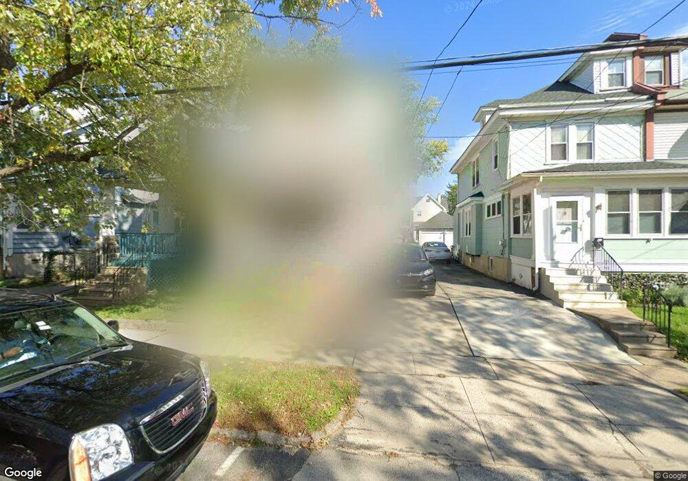
41 Melrose Ave Lansdowne, PA 19050
Estimated Value: $209,756 - $238,000
3
Beds
1
Bath
1,229
Sq Ft
$180/Sq Ft
Est. Value
About This Home
This home is located at 41 Melrose Ave, Lansdowne, PA 19050 and is currently estimated at $221,689, approximately $180 per square foot. 41 Melrose Ave is a home located in Delaware County with nearby schools including East Lansdowne Elementary School, Penn Wood Middle School, and Penn Wood High School - Cypress Street Campus.
Ownership History
Date
Name
Owned For
Owner Type
Purchase Details
Closed on
Jul 22, 1999
Sold by
Wright Margaret M
Bought by
Hutchins Anthony
Current Estimated Value
Home Financials for this Owner
Home Financials are based on the most recent Mortgage that was taken out on this home.
Original Mortgage
$66,462
Outstanding Balance
$18,690
Interest Rate
7.61%
Mortgage Type
FHA
Estimated Equity
$202,999
Create a Home Valuation Report for This Property
The Home Valuation Report is an in-depth analysis detailing your home's value as well as a comparison with similar homes in the area
Home Values in the Area
Average Home Value in this Area
Purchase History
| Date | Buyer | Sale Price | Title Company |
|---|---|---|---|
| Hutchins Anthony | $66,500 | Commonwealth Land Title Ins |
Source: Public Records
Mortgage History
| Date | Status | Borrower | Loan Amount |
|---|---|---|---|
| Open | Hutchins Anthony | $66,462 |
Source: Public Records
Tax History
| Year | Tax Paid | Tax Assessment Tax Assessment Total Assessment is a certain percentage of the fair market value that is determined by local assessors to be the total taxable value of land and additions on the property. | Land | Improvement |
|---|---|---|---|---|
| 2025 | $4,665 | $109,170 | $44,370 | $64,800 |
| 2024 | $4,665 | $109,170 | $44,370 | $64,800 |
| 2023 | $3,488 | $109,170 | $44,370 | $64,800 |
| 2022 | $4,207 | $109,170 | $44,370 | $64,800 |
| 2021 | $6,273 | $109,170 | $44,370 | $64,800 |
| 2020 | $4,220 | $64,080 | $19,190 | $44,890 |
| 2019 | $4,150 | $64,080 | $19,190 | $44,890 |
| 2018 | $4,095 | $64,080 | $0 | $0 |
| 2017 | $3,886 | $64,080 | $0 | $0 |
| 2016 | $352 | $64,080 | $0 | $0 |
| 2015 | $352 | $64,080 | $0 | $0 |
| 2014 | $352 | $64,080 | $0 | $0 |
Source: Public Records
Map
Nearby Homes
- 22 Lexington Ave
- 57 Lexington Ave
- 15 Hirst Ave
- 109 Lexington Ave
- 59 Houston Rd
- 120 Lewis Ave
- 81 Hartley Rd
- 82 Hartley Rd
- 113 A A000 N Union Ave
- 217 E Greenwood Ave
- 0 Hirst Ave
- 104 Oak Ave
- 314 E Essex Ave
- 319 E Essex Ave
- 315 E Essex Ave
- 46 S Maple Ave
- 7117 Atlantic Ave
- 81 Price Ave
- 178 N Union Ave
- 401 Holly Rd
- 43 Melrose Ave
- 39 Melrose Ave
- 45 Melrose Ave
- 37 Melrose Ave
- 47 Melrose Ave
- 51 Melrose Ave
- 53 Melrose Ave
- 44 Lexington Ave
- 42 Lexington Ave
- 46 Lexington Ave
- 48 Lexington Ave
- 38 Lexington Ave
- 29 Melrose Ave
- 50 Lexington Ave
- 57 Melrose Ave
- 34 Lexington Ave
- 27 Melrose Ave
- 40 Melrose Ave
- 44 Melrose Ave
- 48 Melrose Ave
Your Personal Tour Guide
Ask me questions while you tour the home.