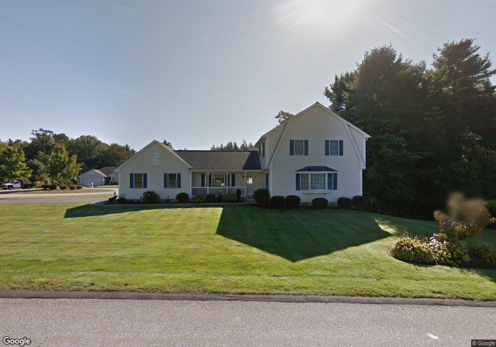
41 Pheasant Dr Westfield, MA 01085
Estimated Value: $548,401 - $623,000
4
Beds
3
Baths
2,246
Sq Ft
$257/Sq Ft
Est. Value
About This Home
This home is located at 41 Pheasant Dr, Westfield, MA 01085 and is currently estimated at $576,850, approximately $256 per square foot. 41 Pheasant Dr is a home located in Hampden County with nearby schools including Westfield High School, White Oak School, and Westfield Christian Academy.
Ownership History
Date
Name
Owned For
Owner Type
Purchase Details
Closed on
Dec 7, 2010
Sold by
Gaetz Jeffrey B and Gaetz Susan L
Bought by
Gaetz Jeffrey B and Gaetz Susan L
Current Estimated Value
Purchase Details
Closed on
Sep 29, 1997
Sold by
Westfld Creative Const
Bought by
Gaetz Jeffrey B and Gaetz Susan L
Home Financials for this Owner
Home Financials are based on the most recent Mortgage that was taken out on this home.
Original Mortgage
$183,350
Interest Rate
7.47%
Mortgage Type
Purchase Money Mortgage
Create a Home Valuation Report for This Property
The Home Valuation Report is an in-depth analysis detailing your home's value as well as a comparison with similar homes in the area
Home Values in the Area
Average Home Value in this Area
Purchase History
| Date | Buyer | Sale Price | Title Company |
|---|---|---|---|
| Gaetz Jeffrey B | -- | -- | |
| Gaetz Jeffrey B | $193,000 | -- |
Source: Public Records
Mortgage History
| Date | Status | Borrower | Loan Amount |
|---|---|---|---|
| Previous Owner | Gaetz Jeffrey B | $162,000 | |
| Previous Owner | Gaetz Jeffrey B | $181,800 | |
| Previous Owner | Gaetz Jeffrey B | $183,350 |
Source: Public Records
Tax History
| Year | Tax Paid | Tax Assessment Tax Assessment Total Assessment is a certain percentage of the fair market value that is determined by local assessors to be the total taxable value of land and additions on the property. | Land | Improvement |
|---|---|---|---|---|
| 2025 | $7,493 | $493,600 | $148,300 | $345,300 |
| 2024 | $7,512 | $470,400 | $134,500 | $335,900 |
| 2023 | $7,052 | $429,900 | $128,100 | $301,800 |
| 2022 | $7,052 | $381,400 | $114,600 | $266,800 |
| 2021 | $6,827 | $361,600 | $107,500 | $254,100 |
| 2020 | $6,703 | $348,200 | $107,500 | $240,700 |
| 2019 | $6,554 | $333,200 | $102,300 | $230,900 |
| 2018 | $6,451 | $333,200 | $102,300 | $230,900 |
| 2017 | $6,286 | $323,700 | $104,500 | $219,200 |
| 2016 | $6,293 | $323,700 | $104,500 | $219,200 |
| 2015 | $5,942 | $320,500 | $104,500 | $216,000 |
| 2014 | -- | $320,500 | $104,500 | $216,000 |
Source: Public Records
Map
Nearby Homes
- 24 Jaeger Dr
- 45 Jaeger Dr
- Lot 5 Brickyard Rd
- 202 Brickyard Rd
- 0 Char Dr
- 19 Cottage Ave
- 57 White Loaf Rd
- 68 Warfield Dr
- 336 Russellville Rd
- 134 Russellville Rd
- 288 Buck Pond Rd
- 132 North Rd
- 71 Sun Valley Rd
- 37 Sun Valley Rd
- 458 Montgomery Rd
- 182 Lockhouse Rd
- 16 Cranberry Dr
- 87 East St
- Lot 5 Gil Farm Rd
- Lot 6 Gil Farm Rd
Your Personal Tour Guide
Ask me questions while you tour the home.