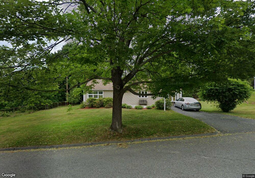
41 Pocasset Ave Worcester, MA 01606
Burncoat NeighborhoodEstimated Value: $343,000 - $393,000
1
Bed
1
Bath
1,224
Sq Ft
$295/Sq Ft
Est. Value
About This Home
This home is located at 41 Pocasset Ave, Worcester, MA 01606 and is currently estimated at $361,335, approximately $295 per square foot. 41 Pocasset Ave is a home located in Worcester County with nearby schools including Worcester Arts Magnet School, Jacob Hiatt Magnet School, and Chandler Magnet.
Ownership History
Date
Name
Owned For
Owner Type
Purchase Details
Closed on
May 28, 1993
Sold by
Mackay Carol M
Bought by
Paquette Frank A
Current Estimated Value
Home Financials for this Owner
Home Financials are based on the most recent Mortgage that was taken out on this home.
Original Mortgage
$70,200
Interest Rate
7.41%
Mortgage Type
Purchase Money Mortgage
Create a Home Valuation Report for This Property
The Home Valuation Report is an in-depth analysis detailing your home's value as well as a comparison with similar homes in the area
Home Values in the Area
Average Home Value in this Area
Purchase History
We collect this data history from publicly available records. To have your information removed, we recommend requesting removal directly through your county’s website.
| Date | Buyer | Sale Price | Title Company |
|---|---|---|---|
| Paquette Frank A | $78,000 | -- |
Source: Public Records
Mortgage History
We collect this data history from publicly available records. To have your information removed, we recommend requesting removal directly through your county’s website.
| Date | Status | Borrower | Loan Amount |
|---|---|---|---|
| Open | Paquette Frank A | $105,000 | |
| Closed | Paquette Frank A | $14,000 | |
| Closed | Paquette Frank A | $70,200 |
Source: Public Records
Tax History
| Year | Tax Paid | Tax Assessment Tax Assessment Total Assessment is a certain percentage of the fair market value that is determined by local assessors to be the total taxable value of land and additions on the property. | Land | Improvement |
|---|---|---|---|---|
| 2025 | $3,592 | $272,300 | $118,700 | $153,600 |
| 2024 | $3,608 | $262,400 | $118,700 | $143,700 |
| 2023 | $3,450 | $240,600 | $103,200 | $137,400 |
| 2022 | $3,037 | $199,700 | $82,600 | $117,100 |
| 2021 | $2,869 | $176,200 | $66,100 | $110,100 |
| 2020 | $2,790 | $164,100 | $66,100 | $98,000 |
| 2019 | $2,628 | $146,000 | $59,500 | $86,500 |
| 2018 | $2,583 | $136,600 | $59,500 | $77,100 |
| 2017 | $2,597 | $135,100 | $59,500 | $75,600 |
| 2016 | $2,341 | $113,600 | $43,700 | $69,900 |
| 2015 | $2,280 | $113,600 | $43,700 | $69,900 |
| 2014 | $2,321 | $118,800 | $43,700 | $75,100 |
Source: Public Records
Map
Nearby Homes
- 45 Pocasset Ave
- 48 Osceola Ave
- 39 Pocasset Ave
- 42 Pocasset Ave
- 42 Osceola Ave
- 44 Pocasset Ave
- 44 Osceola Ave
- 38 Pocasset Ave
- 35 Pocasset Ave
- 55 Pocasset Ave
- 38 Osceola Ave
- 135 Ontario St
- 47 Osceola Ave
- 36 Pocasset Ave
- 51 Osceola Ave
- 85 Sachem Ave
- 58 Pocasset Ave
- 31 Pocasset Ave
- 29 Pocasset Ave
- 29 Pocasset Ave Unit 29
Your Personal Tour Guide
Ask me questions while you tour the home.