41 Range Way Manchester, ME 04351
Estimated Value: $1,580,142
About This Home
This home is located at 41 Range Way, Manchester, ME 04351 and is currently estimated at $1,580,142, approximately $1,447 per square foot. 41 Range Way is a home located in Kennebec County with nearby schools including St. Michael School and St. Augustine School.
Ownership History
We collect this data history from publicly available records. To have your information removed, we recommend requesting removal directly through your county’s website.
Purchase Details
Home Financials for this Owner
Home Financials are based on the most recent Mortgage that was taken out on this home.Purchase Details
Purchase Details
Home Values in the Area
Average Home Value in this Area
Purchase History
We collect this data history from publicly available records. To have your information removed, we recommend requesting removal directly through your county’s website.
| Date | Buyer | Sale Price | Title Company |
|---|---|---|---|
| -- | None Available | ||
| -- | None Available | ||
| -- | None Available | ||
| -- | -- | ||
| -- | -- | ||
| -- | -- | ||
| -- | -- |
Mortgage History
We collect this data history from publicly available records. To have your information removed, we recommend requesting removal directly through your county’s website.
| Date | Status | Borrower | Loan Amount |
|---|---|---|---|
| Open | $500,000 | ||
| Closed | $500,000 |
Tax History
We collect this data history from publicly available records. To have your information removed, we recommend requesting removal directly through your county’s website.
| Year | Tax Paid | Tax Assessment Tax Assessment Total Assessment is a certain percentage of the fair market value that is determined by local assessors to be the total taxable value of land and additions on the property. | Land | Improvement |
|---|---|---|---|---|
| 2025 | $3,208 | $222,000 | $105,300 | $116,700 |
| 2024 | $6,283 | $378,500 | $78,000 | $300,500 |
| 2023 | $2,825 | $170,200 | $78,000 | $92,200 |
| 2022 | $5,961 | $378,500 | $78,000 | $300,500 |
| 2021 | $6,056 | $378,500 | $78,000 | $300,500 |
| 2020 | $6,624 | $378,500 | $78,000 | $300,500 |
| 2019 | $4,954 | $281,500 | $78,000 | $203,500 |
| 2018 | $4,884 | $281,500 | $78,000 | $203,500 |
| 2017 | $3,922 | $232,100 | $80,500 | $151,600 |
| 2016 | $2,711 | $165,300 | $80,500 | $84,800 |
| 2015 | $2,637 | $165,300 | $80,500 | $84,800 |
| 2013 | $2,471 | $165,300 | $80,500 | $84,800 |
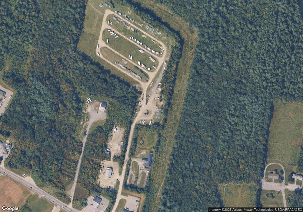
Map
- Lot 40 Range Way
- 18 Granite Hill Rd
- 14 Granite Hill Rd
- 0 Buckwood Rd Unit 1666293
- 903 Western Ave
- 972 Western Ave
- 58 Kennison St Unit 7
- 0 Ingraham St
- 0 Cross St
- 65 Smith St Unit 8
- 405 Western Ave
- 53 Estates Dr Unit 3
- 17 Apple Tree Ln
- 35 Estates Dr Unit 3
- 3-2 Creek Ln
- 226 Pond Rd
- 290 Leighton Rd
- 132 N Shore Ln
- 23 Little Cobbosee Ave
- 28 Mount Vernon Rd
- 41 Range Way
- 29 Range Way
- 767 Western Ave
- 22 Range Way
- 747 Western Ave
- 703 Western Ave
- 803 Western Ave
- 23 Bowdoin St
- 712 Western Ave
- 693 Western Ave
- 704 Western Ave
- 0 Bowdoin Rd Unit 1066822
- 20 Pelton Hill Rd
- 46 Old Winthrop Rd
- 822 Western Ave
- 40 Old Winthrop Rd
- 828 Western Ave
- 0 Pelton Hill Rd
- 665 Western Ave
- 32 Old Winthrop Rd
Ask me questions while you tour the home.