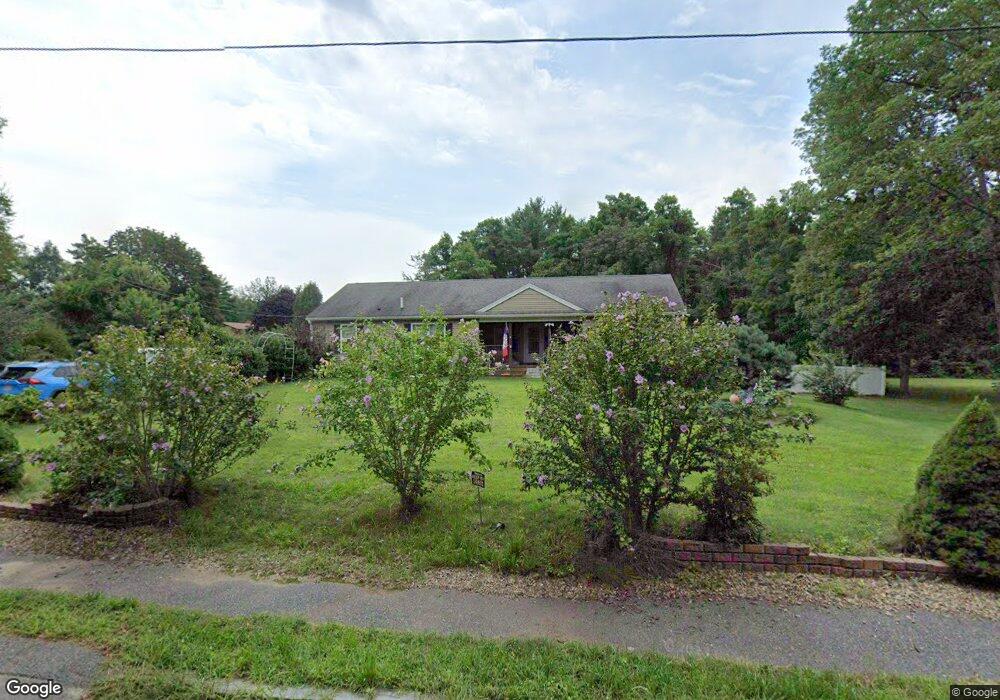
41 Ransom Rd Hanson, MA 02341
Estimated Value: $663,000 - $750,000
3
Beds
2
Baths
1,824
Sq Ft
$380/Sq Ft
Est. Value
About This Home
This home is located at 41 Ransom Rd, Hanson, MA 02341 and is currently estimated at $692,678, approximately $379 per square foot. 41 Ransom Rd is a home located in Plymouth County.
Ownership History
Date
Name
Owned For
Owner Type
Purchase Details
Closed on
Apr 8, 2009
Sold by
Ransom Matthew
Bought by
Ransom Melissa M
Current Estimated Value
Home Financials for this Owner
Home Financials are based on the most recent Mortgage that was taken out on this home.
Original Mortgage
$225,000
Outstanding Balance
$142,160
Interest Rate
4.85%
Estimated Equity
$550,518
Create a Home Valuation Report for This Property
The Home Valuation Report is an in-depth analysis detailing your home's value as well as a comparison with similar homes in the area
Home Values in the Area
Average Home Value in this Area
Purchase History
| Date | Buyer | Sale Price | Title Company |
|---|---|---|---|
| Ransom Melissa M | -- | -- |
Source: Public Records
Mortgage History
| Date | Status | Borrower | Loan Amount |
|---|---|---|---|
| Open | Ransom Melissa M | $225,000 |
Source: Public Records
Tax History
| Year | Tax Paid | Tax Assessment Tax Assessment Total Assessment is a certain percentage of the fair market value that is determined by local assessors to be the total taxable value of land and additions on the property. | Land | Improvement |
|---|---|---|---|---|
| 2025 | $7,866 | $587,900 | $181,000 | $406,900 |
| 2024 | $7,703 | $575,700 | $175,800 | $399,900 |
| 2023 | $7,488 | $528,100 | $175,800 | $352,300 |
| 2022 | $7,304 | $484,000 | $159,800 | $324,200 |
| 2021 | $6,508 | $431,000 | $153,700 | $277,300 |
| 2020 | $6,390 | $418,500 | $148,400 | $270,100 |
| 2019 | $6,120 | $394,100 | $145,600 | $248,500 |
| 2018 | $6,044 | $381,800 | $140,000 | $241,800 |
| 2017 | $5,853 | $366,300 | $133,300 | $233,000 |
| 2016 | $5,938 | $358,800 | $133,300 | $225,500 |
| 2015 | $5,613 | $352,600 | $133,300 | $219,300 |
Source: Public Records
Map
Nearby Homes
- 48 Big Rock Ln
- Lot 6 Way
- Lot 2 Harvard Rd
- 700 High St
- 496 Main St Unit 2
- 361 County Rd
- 11 Carol Ave
- 361A County Rd
- 42 Taylor Point Rd
- 1054 Main St
- Lot 5 Princeton Way
- 430 Brook Bend Rd
- 10 Beach Rd
- 724 Whitman St
- 12 Santos Ct
- 391 Franklin St Unit 1
- 26 Franklin St
- 170 Elm St
- 126-130 Franklin St
- 353 Birchbark Dr
- 41 Ransom Rd
- 43 Indian Trail
- 571 Indian Head St
- 531 Indian Head St
- 61 Ransom Rd
- 57 Indian Trail
- 515 Indian Head St
- 83 Ransom Rd
- 585 Indian Head St
- 552 Indian Head St
- 67 Indian Trail
- 40 Indian Trail
- 576 Indian Head St
- 40 Cranberry Rd
- 501 Indian Head St
- 26 Indian Trail
- 594 Indian Head St
- 607 Indian Head St
- 83 Indian Trail
- 502 Indian Head St
Your Personal Tour Guide
Ask me questions while you tour the home.