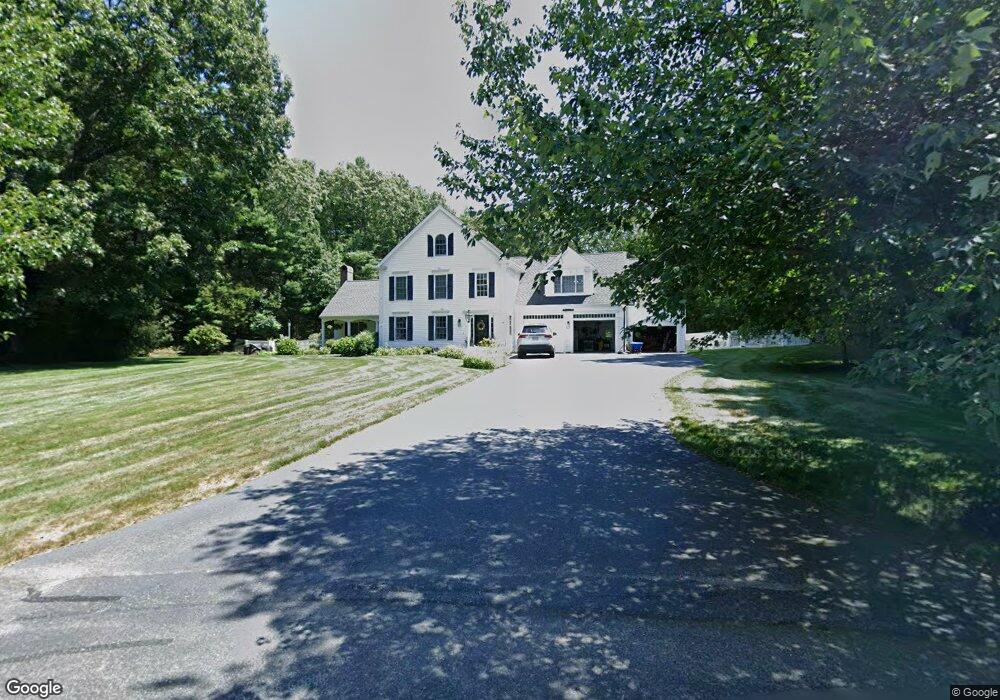
41 S Point Ln Marshfield, MA 02050
Estimated Value: $1,212,960 - $1,832,000
4
Beds
3
Baths
3,406
Sq Ft
$414/Sq Ft
Est. Value
About This Home
This home is located at 41 S Point Ln, Marshfield, MA 02050 and is currently estimated at $1,409,240, approximately $413 per square foot. 41 S Point Ln is a home located in Plymouth County with nearby schools including Governor Edward Winslow School, Furnace Brook Middle School, and Marshfield High School.
Ownership History
Date
Name
Owned For
Owner Type
Purchase Details
Closed on
Aug 27, 2010
Sold by
Bartley James H and Bartley Dianne B
Bought by
Gerstel Aaron M and Gerstel Katherine
Current Estimated Value
Home Financials for this Owner
Home Financials are based on the most recent Mortgage that was taken out on this home.
Original Mortgage
$417,000
Interest Rate
4.57%
Mortgage Type
Purchase Money Mortgage
Purchase Details
Closed on
Mar 5, 2007
Sold by
Bartley James H
Bought by
Bartley James H and Bartley Dianne B
Purchase Details
Closed on
Sep 7, 2004
Sold by
Great Eastern Rt and Bartley James H
Bought by
Bartley James H
Home Financials for this Owner
Home Financials are based on the most recent Mortgage that was taken out on this home.
Original Mortgage
$100,000
Interest Rate
6.01%
Mortgage Type
Purchase Money Mortgage
Create a Home Valuation Report for This Property
The Home Valuation Report is an in-depth analysis detailing your home's value as well as a comparison with similar homes in the area
Home Values in the Area
Average Home Value in this Area
Purchase History
| Date | Buyer | Sale Price | Title Company |
|---|---|---|---|
| Gerstel Aaron M | $678,000 | -- | |
| Bartley James H | -- | -- | |
| Bartley James H | -- | -- |
Source: Public Records
Mortgage History
| Date | Status | Borrower | Loan Amount |
|---|---|---|---|
| Open | Bartley James H | $400,000 | |
| Closed | Gerstel Aaron M | $417,000 | |
| Previous Owner | Bartley James H | $100,000 |
Source: Public Records
Tax History
| Year | Tax Paid | Tax Assessment Tax Assessment Total Assessment is a certain percentage of the fair market value that is determined by local assessors to be the total taxable value of land and additions on the property. | Land | Improvement |
|---|---|---|---|---|
| 2025 | $11,513 | $1,162,900 | $385,400 | $777,500 |
| 2024 | $11,201 | $1,078,100 | $363,600 | $714,500 |
| 2023 | $10,342 | $930,900 | $327,400 | $603,500 |
| 2022 | $10,342 | $798,600 | $274,000 | $524,600 |
| 2021 | $9,689 | $734,600 | $274,000 | $460,600 |
| 2020 | $9,623 | $721,900 | $274,000 | $447,900 |
| 2019 | $9,321 | $696,600 | $274,000 | $422,600 |
| 2018 | $9,200 | $688,100 | $274,000 | $414,100 |
| 2017 | $9,066 | $660,800 | $274,000 | $386,800 |
| 2016 | $8,663 | $624,100 | $263,100 | $361,000 |
| 2015 | $8,180 | $615,500 | $263,100 | $352,400 |
| 2014 | $8,183 | $615,700 | $263,100 | $352,600 |
Source: Public Records
Map
Nearby Homes
- 66 Simmons Dr
- 585 Careswell St
- 72 Pilgrim Trail
- 10 S Pasture Ln
- Two Railroad Ave Unit 10
- Two Railroad Ave Unit 11
- 51 Meetinghouse Ln
- 45 Red Gold Farm Rd
- 95 Blackmount Dr
- 39 Bay Pond Rd
- 238 Atwell Cir
- 26 Bowsprit Ln
- 184 King Phillips Pathe
- 56 Lincoln Ave
- 130 Winslow Cemetery Rd
- 555 Webster St
- 412 Moraine St
- 236 Powder Point Ave
- 245 Careswell St
- 36 Ocean Rd N
- 33 S Point Ln
- 41 Prince Cir
- 37 Prince Cir
- 27 Duck Hill Ln
- 37 Duck Hill Ln
- 37 Duck Hill Ln Unit 1
- 45 Prince Cir
- 31 Prince Cir
- 961 Careswell St
- 21 Prince Cir
- 38 Prince Cir
- 53 Prince Cir
- 54 Prince Cir
- 26 Prince Cir
- 26 Prince Cir
- 983 Careswell St
- 201 Colby Hewitt Ln
- 18 Prince Cir
- 70 Prince Cir
- 18 Prince Cir
Your Personal Tour Guide
Ask me questions while you tour the home.