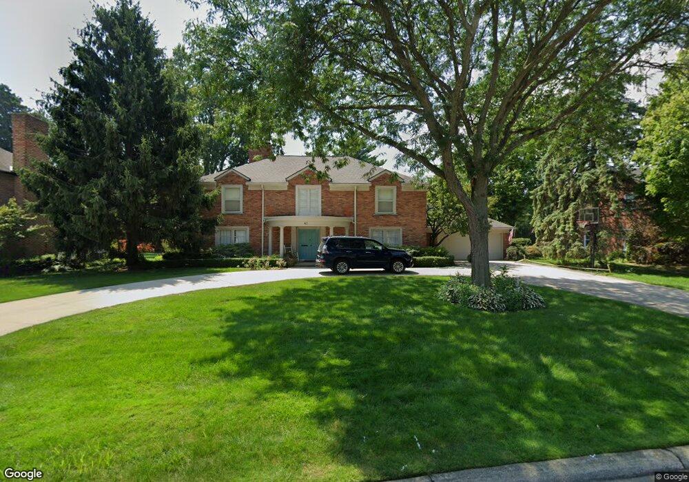
41 Stonehurst Rd Grosse Pointe Shores, MI 48236
Estimated Value: $891,925 - $1,197,000
4
Beds
5
Baths
3,900
Sq Ft
$268/Sq Ft
Est. Value
About This Home
This home is located at 41 Stonehurst Rd, Grosse Pointe Shores, MI 48236 and is currently estimated at $1,046,975, approximately $268 per square foot. 41 Stonehurst Rd is a home located in Wayne County with nearby schools including John Monteith Elementary School, Parcells Middle School, and Grosse Pointe North High School.
Ownership History
Date
Name
Owned For
Owner Type
Purchase Details
Closed on
Sep 22, 2015
Sold by
Rabbani Bobak and Rabbani Anna N
Bought by
Rabbani Bobak T
Current Estimated Value
Purchase Details
Closed on
Apr 15, 2010
Sold by
Gibson Geroge W and Gibson Betty Ann
Bought by
Rabbani Bobak and Rabbani Anna N
Home Financials for this Owner
Home Financials are based on the most recent Mortgage that was taken out on this home.
Original Mortgage
$372,800
Outstanding Balance
$248,421
Interest Rate
5.01%
Mortgage Type
New Conventional
Estimated Equity
$798,554
Create a Home Valuation Report for This Property
The Home Valuation Report is an in-depth analysis detailing your home's value as well as a comparison with similar homes in the area
Home Values in the Area
Average Home Value in this Area
Purchase History
| Date | Buyer | Sale Price | Title Company |
|---|---|---|---|
| Rabbani Bobak T | -- | Attorney | |
| Rabbani Bobak | $466,000 | Greco |
Source: Public Records
Mortgage History
| Date | Status | Borrower | Loan Amount |
|---|---|---|---|
| Open | Rabbani Bobak | $372,800 |
Source: Public Records
Tax History
| Year | Tax Paid | Tax Assessment Tax Assessment Total Assessment is a certain percentage of the fair market value that is determined by local assessors to be the total taxable value of land and additions on the property. | Land | Improvement |
|---|---|---|---|---|
| 2025 | $13,741 | $443,300 | $0 | $0 |
| 2024 | $13,741 | $422,400 | $0 | $0 |
| 2023 | $13,741 | $375,400 | $0 | $0 |
| 2021 | $13,741 | $354,100 | $0 | $0 |
| 2019 | $13,989 | $304,100 | $0 | $0 |
| 2018 | $8,889 | $283,800 | $0 | $0 |
| 2017 | $9,050 | $274,600 | $0 | $0 |
| 2016 | $13,449 | $244,900 | $0 | $0 |
| 2015 | $24,464 | $260,400 | $0 | $0 |
| 2013 | $23,698 | $236,980 | $0 | $0 |
| 2011 | -- | $269,290 | $0 | $0 |
Source: Public Records
Map
Nearby Homes
- 535 Ballantyne Rd
- 529 Lake Shore Rd
- 745- 749 Lake Shore Rd
- 646 Peach Tree Ln
- 8 Lake Shore Ln
- 680 Pear Tree Ln
- 475 Lake Shore Rd
- 715 Pear Tree Ln
- 521 Oxford Rd
- 840 S Oxford Rd
- 20114 Fairway Dr
- 737 Lake Shore Rd
- 622 Sunningdale Dr
- 370 Country Club Ln
- 745 Lake Shore Rd
- 749 Lake Shore Rd
- 1210 Fairholme Rd
- 1040 N Renaud Rd
- 1041 Lochmoor Blvd
- 489 Chalfonte Ave
- 35 Stonehurst Rd
- 47 Stonehurst Rd
- 50 N Deeplands Rd
- 44 N Deeplands Rd
- 53 Stonehurst Rd
- 40 N Deeplands Rd
- 46 Stonehurst Rd
- 40 Stonehurst Rd
- 565 Shelden Rd
- 563 Shelden Rd
- 50 Stonehurst Rd
- 573 Shelden Rd
- 54 N Deeplands Rd
- 32 N Deeplands Rd
- 59 Stonehurst Rd
- 56 Stonehurst Rd
- 60 N Deeplands Rd
- 43 Fairford Rd
- 577 Shelden Rd
- 33 Fairford Rd
Your Personal Tour Guide
Ask me questions while you tour the home.