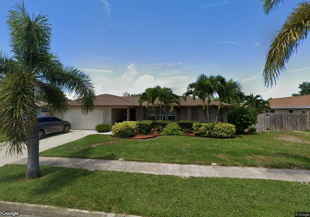
410 E Amherst Cir Satellite Beach, FL 32937
Estimated Value: $537,000 - $625,978
3
Beds
3
Baths
1,793
Sq Ft
$327/Sq Ft
Est. Value
About This Home
This home is located at 410 E Amherst Cir, Satellite Beach, FL 32937 and is currently estimated at $585,495, approximately $326 per square foot. 410 E Amherst Cir is a home located in Brevard County with nearby schools including Surfside Elementary School, Satellite Senior High School, and DeLaura Middle School.
Ownership History
Date
Name
Owned For
Owner Type
Purchase Details
Closed on
Jun 21, 2007
Sold by
Rogers James H and Rogers Jessie C
Bought by
Masse Deborah L and Masse William C
Current Estimated Value
Home Financials for this Owner
Home Financials are based on the most recent Mortgage that was taken out on this home.
Original Mortgage
$208,000
Outstanding Balance
$126,653
Interest Rate
6.1%
Estimated Equity
$458,842
Create a Home Valuation Report for This Property
The Home Valuation Report is an in-depth analysis detailing your home's value as well as a comparison with similar homes in the area
Home Values in the Area
Average Home Value in this Area
Purchase History
| Date | Buyer | Sale Price | Title Company |
|---|---|---|---|
| Masse Deborah L | $260,000 | State Title Partners Llp |
Source: Public Records
Mortgage History
| Date | Status | Borrower | Loan Amount |
|---|---|---|---|
| Open | Masse Deborah L | $208,000 |
Source: Public Records
Tax History
| Year | Tax Paid | Tax Assessment Tax Assessment Total Assessment is a certain percentage of the fair market value that is determined by local assessors to be the total taxable value of land and additions on the property. | Land | Improvement |
|---|---|---|---|---|
| 2025 | $3,366 | $217,640 | -- | -- |
| 2024 | $3,314 | $211,510 | -- | -- |
| 2023 | $3,314 | $205,350 | $0 | $0 |
| 2022 | $2,877 | $186,690 | $0 | $0 |
| 2021 | $2,965 | $181,260 | $0 | $0 |
| 2020 | $2,955 | $178,760 | $0 | $0 |
| 2019 | $2,892 | $172,640 | $0 | $0 |
| 2018 | $2,894 | $169,430 | $0 | $0 |
| 2017 | $2,717 | $165,950 | $0 | $0 |
| 2016 | $2,725 | $162,540 | $85,000 | $77,540 |
| 2015 | $2,791 | $161,420 | $75,000 | $86,420 |
| 2014 | $2,794 | $160,140 | $70,000 | $90,140 |
Source: Public Records
Map
Nearby Homes
- 435 Desoto Pkwy
- 585 Kale St
- 485 Caribbean Dr
- 405 Hawthorne Ct
- 358 Desoto Pkwy
- 517 Summerset Ct
- 414 Hawthorne Ct
- 400 Maria Dr
- 519 Summerset Ct
- 321 Cherry Dr
- 212 Mcguire Blvd
- 550 Temple St
- 458 Saint Johns Dr
- 647 Desoto Ln
- 413 Trinidad Dr
- 485 Temple St
- 280 Lynn Ave
- 276 Lynn Ave
- 521 Island Ct
- 705 Tradewinds Dr
- 416 E Amherst Cir
- 406 E Amherst Cir
- 470 E Amherst Cir
- 480 E Amherst Cir
- 460 E Amherst Cir
- 411 E Amherst Cir
- 415 E Amherst Cir
- 430 E Amherst Cir
- 405 E Amherst Cir
- 400 E Amherst Cir
- 450 E Amherst Cir
- 421 E Amherst Cir
- 490 E Amherst Cir
- 401 E Amherst Cir Unit 1
- 401 E Amherst Cir
- 450 Desoto Pkwy
- 475 E Amherst Cir
- 465 E Amherst Cir
- 440 Desoto Pkwy
- 460 Desoto Pkwy
Your Personal Tour Guide
Ask me questions while you tour the home.