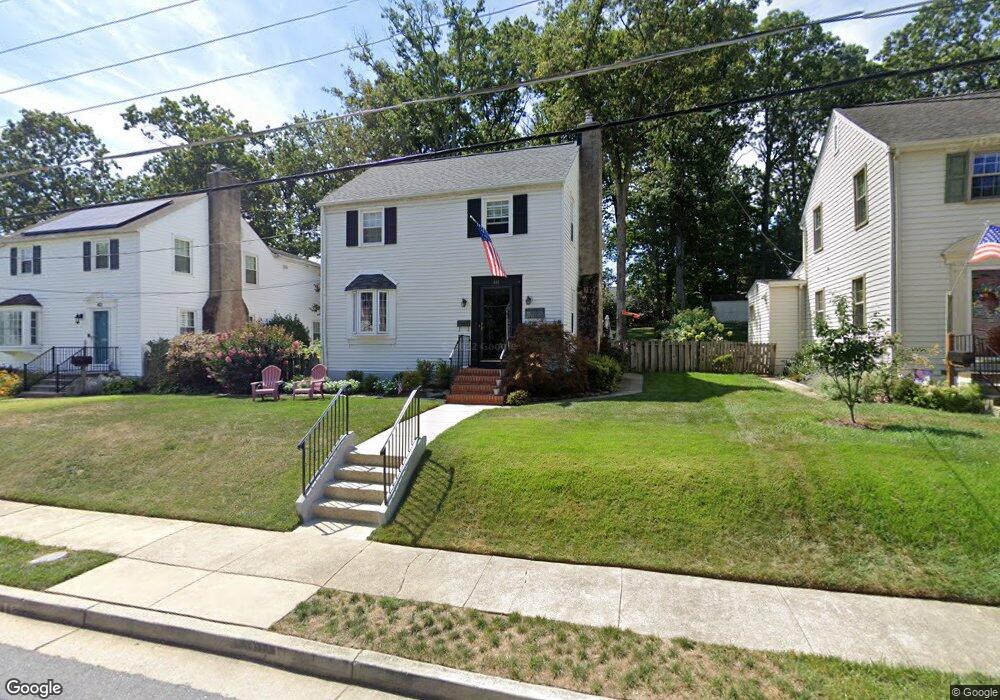
410 Locust Dr Catonsville, MD 21228
Estimated Value: $461,845 - $596,000
About This Home
This home is located at 410 Locust Dr, Catonsville, MD 21228 and is currently estimated at $550,961, approximately $289 per square foot. 410 Locust Dr is a home located in Baltimore County with nearby schools including Catonsville Elementary School, Arbutus Middle School, and Catonsville High School.
Ownership History
We collect this data history from publicly available records. To have your information removed, we recommend requesting removal directly through your county’s website.
Purchase Details
Purchase Details
Home Financials for this Owner
Home Financials are based on the most recent Mortgage that was taken out on this home.Purchase Details
Purchase Details
Purchase Details
Home Values in the Area
Average Home Value in this Area
Purchase History
We collect this data history from publicly available records. To have your information removed, we recommend requesting removal directly through your county’s website.
| Date | Buyer | Sale Price | Title Company |
|---|---|---|---|
| -- | Crown Title | ||
| -- | Crown Title Corporation | ||
| -- | Crown Title Corporation | ||
| -- | -- | ||
| $126,500 | -- |
Mortgage History
We collect this data history from publicly available records. To have your information removed, we recommend requesting removal directly through your county’s website.
| Date | Status | Borrower | Loan Amount |
|---|---|---|---|
| Previous Owner | $295,000 |
Tax History
We collect this data history from publicly available records. To have your information removed, we recommend requesting removal directly through your county’s website.
| Year | Tax Paid | Tax Assessment Tax Assessment Total Assessment is a certain percentage of the fair market value that is determined by local assessors to be the total taxable value of land and additions on the property. | Land | Improvement |
|---|---|---|---|---|
| 2025 | $5,172 | $373,833 | -- | -- |
| 2024 | $5,172 | $354,600 | $122,000 | $232,600 |
| 2023 | $2,413 | $350,400 | $0 | $0 |
| 2022 | $4,819 | $346,200 | $0 | $0 |
| 2021 | $4,002 | $342,000 | $122,000 | $220,000 |
| 2020 | $3,814 | $324,133 | $0 | $0 |
| 2019 | $3,712 | $306,267 | $0 | $0 |
| 2018 | $3,690 | $288,400 | $101,000 | $187,400 |
| 2017 | $3,325 | $280,933 | $0 | $0 |
| 2016 | $2,926 | $273,467 | $0 | $0 |
| 2015 | $2,926 | $266,000 | $0 | $0 |
| 2014 | $2,926 | $266,000 | $0 | $0 |
Map
- 101 Locust Dr
- 409 Oak Ct
- 603 Hilltop Rd
- 115 Hilton Ave
- 1207 Mccurley Ave
- 9 Rognel Ave
- 102 Bishops Ln
- 2 N Beechwood Ave
- 7 Montrose Ave
- 38 Melrose Ave
- 18 N Beaumont Ave
- 110 Osborne Ave
- 700 Hilton Ave
- 1 Glenwood Ave
- 123 Osborne Ave
- 27 Glenwood Ave
- 305 Orley Rd
- 24 Delrey Ave
- 1204 Edmondson Ave
- 244 Blakeney Rd
Ask me questions while you tour the home.