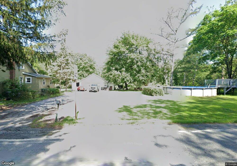
410 Lower Smith Gap Rd Kunkletown, PA 18058
Estimated Value: $200,000 - $229,000
3
Beds
2
Baths
1,484
Sq Ft
$145/Sq Ft
Est. Value
About This Home
This home is located at 410 Lower Smith Gap Rd, Kunkletown, PA 18058 and is currently estimated at $214,594, approximately $144 per square foot. 410 Lower Smith Gap Rd is a home located in Carbon County with nearby schools including Palmerton Area High School.
Ownership History
Date
Name
Owned For
Owner Type
Purchase Details
Closed on
Oct 25, 2024
Sold by
David Patricia A
Bought by
Saslo Anthony
Current Estimated Value
Home Financials for this Owner
Home Financials are based on the most recent Mortgage that was taken out on this home.
Original Mortgage
$165,000
Outstanding Balance
$140,918
Interest Rate
6.2%
Mortgage Type
Seller Take Back
Estimated Equity
$73,676
Purchase Details
Closed on
Nov 30, 2004
Bought by
David Patricia A
Create a Home Valuation Report for This Property
The Home Valuation Report is an in-depth analysis detailing your home's value as well as a comparison with similar homes in the area
Home Values in the Area
Average Home Value in this Area
Purchase History
| Date | Buyer | Sale Price | Title Company |
|---|---|---|---|
| Saslo Anthony | $215,000 | Monroe Abstract | |
| David Patricia A | $142,500 | -- |
Source: Public Records
Mortgage History
| Date | Status | Borrower | Loan Amount |
|---|---|---|---|
| Open | Saslo Anthony | $165,000 |
Source: Public Records
Tax History
| Year | Tax Paid | Tax Assessment Tax Assessment Total Assessment is a certain percentage of the fair market value that is determined by local assessors to be the total taxable value of land and additions on the property. | Land | Improvement |
|---|---|---|---|---|
| 2025 | $3,346 | $38,900 | $7,850 | $31,050 |
| 2024 | $3,128 | $38,900 | $7,850 | $31,050 |
| 2023 | $3,021 | $38,900 | $7,850 | $31,050 |
| 2022 | $2,879 | $38,900 | $7,850 | $31,050 |
| 2021 | $2,786 | $38,900 | $7,850 | $31,050 |
| 2020 | $2,747 | $38,900 | $7,850 | $31,050 |
| 2019 | $2,670 | $38,900 | $7,850 | $31,050 |
| 2018 | $2,670 | $38,900 | $7,850 | $31,050 |
| 2017 | $2,621 | $38,900 | $7,850 | $31,050 |
| 2016 | -- | $38,900 | $7,850 | $31,050 |
| 2015 | -- | $38,900 | $7,850 | $31,050 |
| 2014 | -- | $38,900 | $7,850 | $31,050 |
Source: Public Records
Map
Nearby Homes
- 3420 Little Gap Rd
- 4400 Little Gap Rd
- 560 Forest Dr
- 15 Chestnut Ridge Cir
- 32 Hillside Place
- 1357 N Cottonwood Rd
- 1313 Walnut Dr
- 0 Olive Rd
- 3749 Mountain View Dr
- 0 Co Line & Lr 45052 Unit PM-137915
- 4083 W Mountain View Dr
- 0 Mountain View Dr Unit 769079
- 3983 Hastings Rd
- 1850 Spruce Hollow Rd
- 1412 Heytesbury Rd
- 1410 Heytesbury Rd
- 355 Hickory Rd
- 0 Deer Path Dr Unit 773551
- 4162 Bunker Hill Ln W
- 4234 Independence Ln
- 390 Lower Smith Gap Rd
- 380 Lower Smith Gap Rd
- 435 Lower Smith Gap Rd
- 359 Lower Smith Gap Rd
- 335 Lower Smith Gap Rd
- 0 Little Gap Rd Unit 3-7100
- 0 Little Gap Rd Unit PM-64472
- 0 Little Gap Rd
- 3765 Little Gap Rd
- 90 Lower Smith Gap Rd
- 305 Lower Smith Gap Rd
- 620 Lower Smith Gap Rd
- 3780 Little Gap Rd
- 3800 Little Gap Rd
- Lot#2 Little Gap Rd
- 1980 Lower Smith Gap Rd
- 3670 Little Gap Rd
- 340 Covered Bridge Rd
- 3630 Little Gap Rd
- 300 Covered Bridge Rd
Your Personal Tour Guide
Ask me questions while you tour the home.