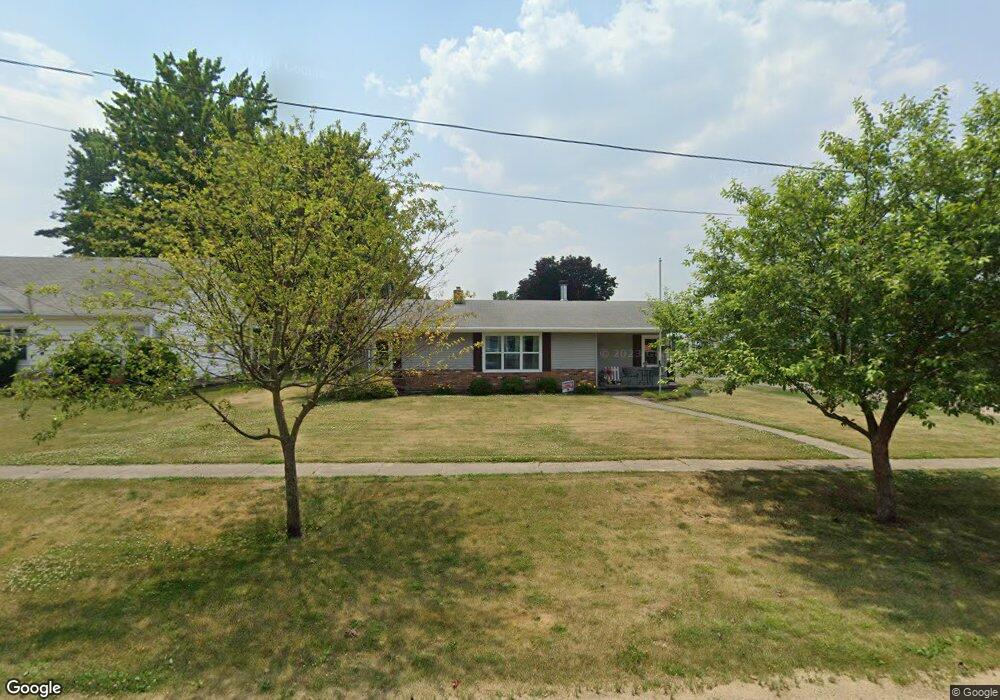
410 Maple Ave Forreston, IL 61030
Estimated Value: $90,819 - $166,000
Studio
--
Bath
--
Sq Ft
13,329
Sq Ft Lot
About This Home
This home is located at 410 Maple Ave, Forreston, IL 61030 and is currently estimated at $125,955. 410 Maple Ave is a home located in Ogle County with nearby schools including Forreston High School.
Ownership History
Date
Name
Owned For
Owner Type
Purchase Details
Closed on
Dec 23, 2016
Sold by
Chester Randall D
Bought by
Dykstra Stephen J and Dystra Connie S
Current Estimated Value
Home Financials for this Owner
Home Financials are based on the most recent Mortgage that was taken out on this home.
Original Mortgage
$52,000
Outstanding Balance
$42,524
Interest Rate
3.94%
Mortgage Type
New Conventional
Estimated Equity
$83,431
Purchase Details
Closed on
Jul 8, 2008
Sold by
Chester George D
Bought by
Chester George D and Chester Randall D
Create a Home Valuation Report for This Property
The Home Valuation Report is an in-depth analysis detailing your home's value as well as a comparison with similar homes in the area
Home Values in the Area
Average Home Value in this Area
Purchase History
| Date | Buyer | Sale Price | Title Company |
|---|---|---|---|
| Dykstra Stephen J | $65,000 | -- | |
| Chester George D | -- | None Available |
Source: Public Records
Mortgage History
| Date | Status | Borrower | Loan Amount |
|---|---|---|---|
| Open | Dykstra Stephen J | $52,000 |
Source: Public Records
Tax History
| Year | Tax Paid | Tax Assessment Tax Assessment Total Assessment is a certain percentage of the fair market value that is determined by local assessors to be the total taxable value of land and additions on the property. | Land | Improvement |
|---|---|---|---|---|
| 2024 | $1,029 | $27,632 | $4,018 | $23,614 |
| 2023 | $1,058 | $25,774 | $3,748 | $22,026 |
| 2022 | $1,097 | $23,583 | $3,429 | $20,154 |
| 2021 | $1,103 | $22,994 | $3,343 | $19,651 |
| 2020 | $924 | $22,588 | $3,284 | $19,304 |
| 2019 | $864 | $21,667 | $3,150 | $18,517 |
| 2018 | $876 | $21,667 | $3,150 | $18,517 |
| 2017 | $889 | $21,667 | $3,150 | $18,517 |
| 2016 | $1,441 | $28,309 | $3,075 | $25,234 |
| 2015 | $1,355 | $27,646 | $3,003 | $24,643 |
| 2014 | $1,331 | $27,646 | $3,003 | $24,643 |
| 2013 | $1,379 | $28,335 | $3,078 | $25,257 |
Source: Public Records
Map
Nearby Homes
- 304 Maple Ave
- 502 N Walnut Ave
- 406 W Balsam St
- 601 Hewitt St
- 603 Hewitt St
- 609 Hewitt St
- 613 Hewitt St
- 605 & 607 Hewitt St
- 613 & 615 Hewitt St
- 609 & 611 Hewitt St
- 617 & 619 Hewitt St
- 617 Hewitt St
- 701 Hewitt St
- 702 Hewitt St
- 703 Hewitt St
- 605 Hewitt St
- 404 E Willow St
- 8701 N Main St
- 10182 N Adeline Rd
- 10225 N Brookville Rd
Your Personal Tour Guide
Ask me questions while you tour the home.