410 Springfield Rd Gillespie, IL 62033
About This Home
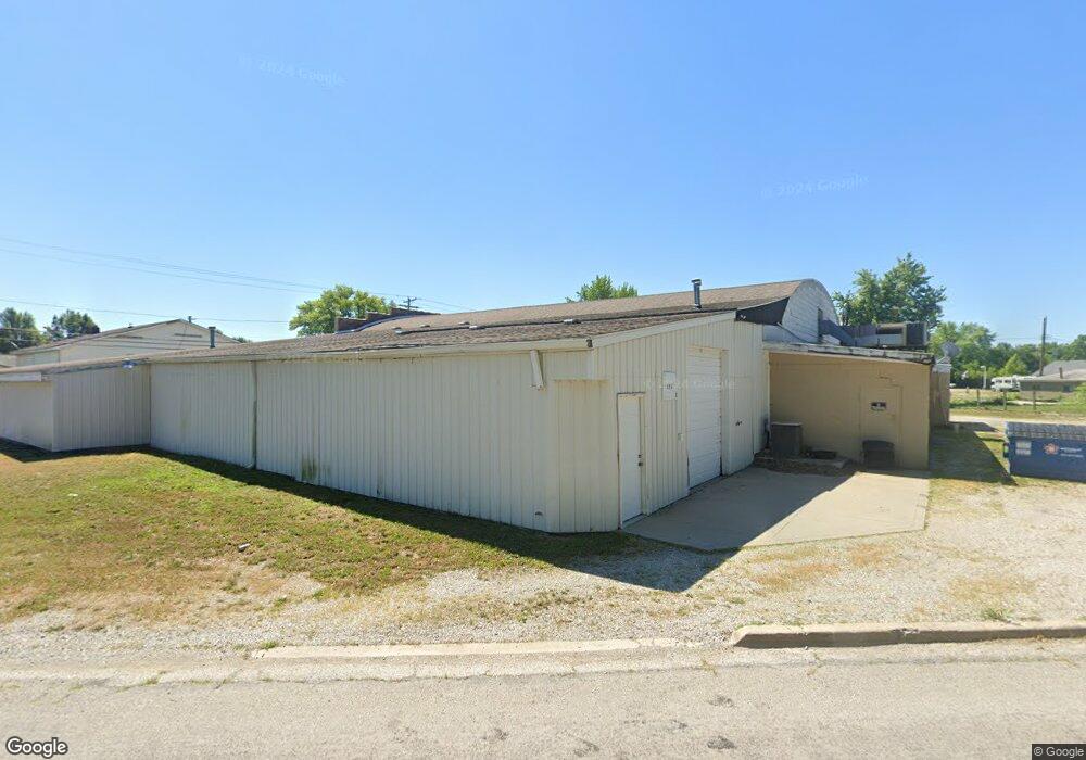
This home is located at 410 Springfield Rd, Gillespie, IL 62033. 410 Springfield Rd is a home located in Macoupin County with nearby schools including Ben-Gil Elementary School, Gillespie Middle School, and Gillespie High School.
Ownership History
We collect this data history from publicly available records. To have your information removed, we recommend requesting removal directly through your county’s website.
Purchase Details
Home Financials for this Owner
Home Financials are based on the most recent Mortgage that was taken out on this home.Purchase Details
Purchase Details
Home Values in the Area
Average Home Value in this Area
Purchase History
We collect this data history from publicly available records. To have your information removed, we recommend requesting removal directly through your county’s website.
| Date | Buyer | Sale Price | Title Company |
|---|---|---|---|
| -- | Benchmark Title | ||
| -- | Benchmark Title | ||
| -- | None Listed On Document |
Mortgage History
We collect this data history from publicly available records. To have your information removed, we recommend requesting removal directly through your county’s website.
| Date | Status | Borrower | Loan Amount |
|---|---|---|---|
| Open | $44,000 |
Tax History
We collect this data history from publicly available records. To have your information removed, we recommend requesting removal directly through your county’s website.
| Year | Tax Paid | Tax Assessment Tax Assessment Total Assessment is a certain percentage of the fair market value that is determined by local assessors to be the total taxable value of land and additions on the property. | Land | Improvement |
|---|---|---|---|---|
| 2024 | $495 | $7,627 | $3,167 | $4,460 |
| 2023 | $485 | $7,062 | $2,932 | $4,130 |
| 2022 | $485 | $6,600 | $2,740 | $3,860 |
| 2021 | $548 | $7,370 | $2,561 | $4,809 |
| 2020 | $516 | $6,887 | $2,393 | $4,494 |
| 2019 | $518 | $6,559 | $2,279 | $4,280 |
| 2018 | $514 | $6,559 | $2,279 | $4,280 |
| 2017 | $517 | $6,430 | $2,234 | $4,196 |
| 2016 | $514 | $6,430 | $2,234 | $4,196 |
| 2015 | $522 | $6,430 | $2,234 | $4,196 |
| 2014 | $521 | $6,430 | $2,234 | $4,196 |
| 2013 | $523 | $6,978 | $2,424 | $4,554 |
Map
- 418 E Elm St
- 607 Springfield Rd
- 410 Henry St
- 302 E Elm St
- TBD Maple & Clinton
- 208 E Elm St
- 603 E Chestnut St
- 701 E Chestnut St
- 705 N MacOupin St
- 407 E Spruce St
- 305 Shelby St
- 900 Montana St
- 506 W Walnut St
- 709 1st St
- 0 Tower Rd
- 905 Madison St
- 911 Madison St
- 1005 S MacOupin St
- 208 Henrietta St
- 201 Southern St
Ask me questions while you tour the home.