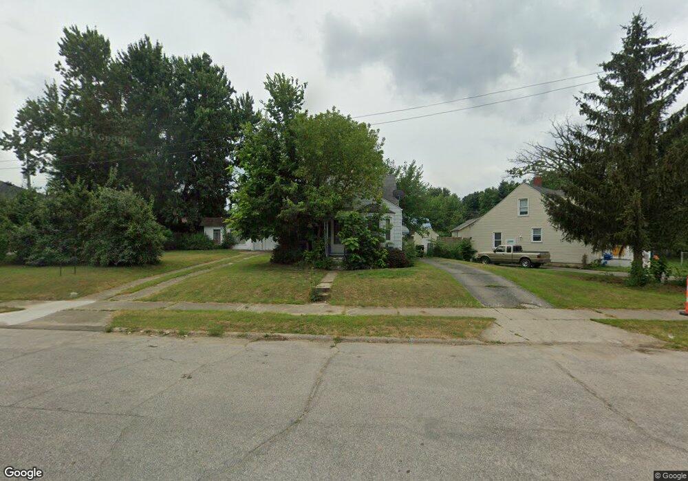
4102 Menton St Flint, MI 48507
Circle Drive NeighborhoodEstimated Value: $60,978 - $84,000
2
Beds
1
Bath
737
Sq Ft
$94/Sq Ft
Est. Value
About This Home
This home is located at 4102 Menton St, Flint, MI 48507 and is currently estimated at $69,245, approximately $93 per square foot. 4102 Menton St is a home located in Genesee County with nearby schools including Freeman Elementary School, Flint Southwestern Classical Academy, and International Academy of Flint (K-12).
Ownership History
Date
Name
Owned For
Owner Type
Purchase Details
Closed on
Jul 20, 2011
Sold by
Learst Roxanne L Schmittka and Learst Mark E
Bought by
Churc Bruce L and Church Bobbie A
Current Estimated Value
Purchase Details
Closed on
Aug 27, 2004
Sold by
Wiltsie Matthew J and Wiltsie Emily M
Bought by
Schmittka Roxanne L
Home Financials for this Owner
Home Financials are based on the most recent Mortgage that was taken out on this home.
Original Mortgage
$65,455
Interest Rate
8.25%
Mortgage Type
Purchase Money Mortgage
Create a Home Valuation Report for This Property
The Home Valuation Report is an in-depth analysis detailing your home's value as well as a comparison with similar homes in the area
Home Values in the Area
Average Home Value in this Area
Purchase History
| Date | Buyer | Sale Price | Title Company |
|---|---|---|---|
| Churc Bruce L | -- | None Available | |
| Schmittka Roxanne L | $68,900 | -- |
Source: Public Records
Mortgage History
| Date | Status | Borrower | Loan Amount |
|---|---|---|---|
| Previous Owner | Schmittka Roxanne L | $65,455 |
Source: Public Records
Tax History
| Year | Tax Paid | Tax Assessment Tax Assessment Total Assessment is a certain percentage of the fair market value that is determined by local assessors to be the total taxable value of land and additions on the property. | Land | Improvement |
|---|---|---|---|---|
| 2025 | $1,186 | $32,700 | $0 | $0 |
| 2024 | $1,098 | $29,100 | $0 | $0 |
| 2023 | $1,072 | $26,900 | $0 | $0 |
| 2022 | $0 | $21,900 | $0 | $0 |
| 2021 | $1,087 | $18,800 | $0 | $0 |
| 2020 | $999 | $15,200 | $0 | $0 |
| 2019 | $1,685 | $11,800 | $0 | $0 |
| 2018 | $968 | $10,700 | $0 | $0 |
| 2017 | $1,132 | $0 | $0 | $0 |
| 2016 | $937 | $0 | $0 | $0 |
| 2015 | -- | $0 | $0 | $0 |
| 2014 | -- | $0 | $0 | $0 |
| 2012 | -- | $14,100 | $14,100 | $0 |
Source: Public Records
Map
Nearby Homes
- 4127 Custer Ave
- 420 Burroughs Ave
- 326 Burroughs Ave
- 4126 Circle Dr
- 352 Buckingham Ave
- 366 E Atherton Rd
- 3914 Red Arrow Rd
- 530 McKeighan Ave
- 621 Burroughs Ave
- 617 McKeighan Ave
- 4526 Milton Dr
- 630 Buckingham Ave
- 720 Algonquin Ave
- 3505 Comanche Ave
- 1030 McKeighan Ave
- 4424 Cheyenne Ave
- 213 E Lakeview Ave
- 1475 Wells St
- 3218 Collingwood Pkwy
- 1483 Carman St
Your Personal Tour Guide
Ask me questions while you tour the home.