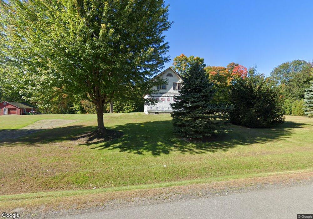
4107 State Route 9 Plattsburgh, NY 12901
Estimated Value: $255,000 - $453,000
5
Beds
3
Baths
2,520
Sq Ft
$133/Sq Ft
Est. Value
About This Home
This home is located at 4107 State Route 9, Plattsburgh, NY 12901 and is currently estimated at $334,087, approximately $132 per square foot. 4107 State Route 9 is a home located in Clinton County with nearby schools including Peru Elementary School, Peru Jr./Sr. High School, and Lakeshore Christian School.
Ownership History
Date
Name
Owned For
Owner Type
Purchase Details
Closed on
Jun 20, 2005
Sold by
Glenn Martin
Bought by
Glenn Martin
Current Estimated Value
Home Financials for this Owner
Home Financials are based on the most recent Mortgage that was taken out on this home.
Original Mortgage
$50,000
Outstanding Balance
$24,806
Interest Rate
5.59%
Mortgage Type
Purchase Money Mortgage
Estimated Equity
$309,281
Purchase Details
Closed on
Jan 29, 2004
Sold by
Benjamin Donald
Bought by
Glenn Martin
Create a Home Valuation Report for This Property
The Home Valuation Report is an in-depth analysis detailing your home's value as well as a comparison with similar homes in the area
Home Values in the Area
Average Home Value in this Area
Purchase History
| Date | Buyer | Sale Price | Title Company |
|---|---|---|---|
| Glenn Martin | -- | Evan Bracy | |
| Glenn Martin | $146,000 | None |
Source: Public Records
Mortgage History
| Date | Status | Borrower | Loan Amount |
|---|---|---|---|
| Open | Glenn Martin | $50,000 |
Source: Public Records
Tax History
| Year | Tax Paid | Tax Assessment Tax Assessment Total Assessment is a certain percentage of the fair market value that is determined by local assessors to be the total taxable value of land and additions on the property. | Land | Improvement |
|---|---|---|---|---|
| 2025 | $1,415 | $199,800 | $102,500 | $97,300 |
| 2024 | $4,416 | $199,800 | $102,500 | $97,300 |
| 2023 | $3,119 | $114,000 | $75,900 | $38,100 |
| 2022 | $3,024 | $114,000 | $75,900 | $38,100 |
| 2021 | $3,197 | $114,000 | $75,900 | $38,100 |
| 2020 | $2,026 | $66,000 | $50,400 | $15,600 |
| 2019 | $1,965 | $66,000 | $50,400 | $15,600 |
| 2018 | $1,965 | $66,000 | $50,400 | $15,600 |
| 2017 | $1,988 | $66,000 | $50,400 | $15,600 |
| 2016 | $2,427 | $66,000 | $50,400 | $15,600 |
| 2015 | -- | $66,000 | $50,400 | $15,600 |
| 2014 | -- | $66,000 | $50,400 | $15,600 |
Source: Public Records
Map
Nearby Homes
- 3971 State Route 9
- 44 Bluff Point Dr
- 238 Lyons Rd
- 01 Bluff Point Dr
- 0 Windswept Ln
- 41 Bluff Point Dr
- 45 Bluff Point Dr
- 74 Bluff Point Dr
- 73 Bluff Point Dr
- 46 Bluff Point Dr
- 72 Bluff Point Dr
- 71 Bluff Point Dr
- 0 Bluff Point Dr Unit 178752
- 0 Bluff Point Dr Unit 178750
- 261 Lyons Rd
- 00 Wood Cliff Dr
- 382 S Junction Rd
- 03 Woodcliff Dr
- 24 Golf Course Rd
- 01 Woodcliff Dr
- 4091 State Route 9
- 4113 State Route 9
- 4083 U S 9
- 4083 State Route 9
- 4123 U S 9
- 4123 State Route 9
- 5 Old Dock Rd
- 4120 State Route 9
- 4079 State Route 9
- 4082 State Route 9
- 4057 State Route 9
- 4 S Junction Rd
- 4131 State Route 9
- 10 Old Dock Rd
- 6 Old Dock Rd
- 17 Old Dock Rd
- 21 Old Dock Rd
- 39 Old Dock Rd
- 7 Witherill Dr
- 40 S Junction Rd
Your Personal Tour Guide
Ask me questions while you tour the home.