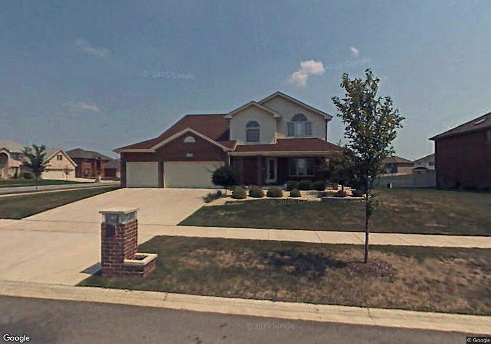
411 Carrick Rd Matteson, IL 60443
Old Matteson NeighborhoodEstimated Value: $403,000 - $472,000
About This Home
This home is located at 411 Carrick Rd, Matteson, IL 60443 and is currently estimated at $426,030, approximately $151 per square foot. 411 Carrick Rd is a home located in Cook County with nearby schools including Illinois School, Arcadia Elementary School, and Indiana Elementary School.
Ownership History
We collect this data history from publicly available records. To have your information removed, we recommend requesting removal directly through your county’s website.
Purchase Details
Home Financials for this Owner
Home Financials are based on the most recent Mortgage that was taken out on this home.Home Values in the Area
Average Home Value in this Area
Purchase History
We collect this data history from publicly available records. To have your information removed, we recommend requesting removal directly through your county’s website.
| Date | Buyer | Sale Price | Title Company |
|---|---|---|---|
| $337,500 | Enterprise Land Title Ltd |
Mortgage History
We collect this data history from publicly available records. To have your information removed, we recommend requesting removal directly through your county’s website.
| Date | Status | Borrower | Loan Amount |
|---|---|---|---|
| Open | $264,800 | ||
| Closed | $66,200 |
Tax History
We collect this data history from publicly available records. To have your information removed, we recommend requesting removal directly through your county’s website.
| Year | Tax Paid | Tax Assessment Tax Assessment Total Assessment is a certain percentage of the fair market value that is determined by local assessors to be the total taxable value of land and additions on the property. | Land | Improvement |
|---|---|---|---|---|
| 2025 | $11,999 | $35,001 | $6,177 | $28,824 |
| 2024 | $11,999 | $35,001 | $6,177 | $28,824 |
| 2023 | $11,125 | $35,001 | $6,177 | $28,824 |
| 2022 | $11,125 | $26,663 | $5,334 | $21,329 |
| 2021 | $11,366 | $26,662 | $5,334 | $21,328 |
| 2020 | $10,736 | $26,662 | $5,334 | $21,328 |
| 2019 | $10,710 | $26,866 | $4,772 | $22,094 |
| 2018 | $10,702 | $26,866 | $4,772 | $22,094 |
| 2017 | $10,328 | $26,866 | $4,772 | $22,094 |
| 2016 | $10,242 | $25,110 | $4,211 | $20,899 |
| 2015 | $10,048 | $25,110 | $4,211 | $20,899 |
| 2014 | $10,644 | $25,110 | $4,211 | $20,899 |
| 2013 | $11,913 | $30,230 | $4,211 | $26,019 |
Map
- 4533 Morning Glory Dr
- 4500 203rd St
- 137 Lawrence Ln
- 722 Kostner Ave
- 5105 Monroe St
- 117 Bowman St
- 857 Academy Ave
- 136 Moonlight Rd
- 739 Kostner Ave
- 117 Stonebrook Rd
- 154 Sundance Rd
- 5171 Monroe St
- 847 College Ave
- 222 Owen St
- 4242 Pinewood Ln
- 301 Providence Dr
- 20120 Keystone Ave
- 4613 Lindenwood Ct
- 4110 Orchard Ln
- 4228 Applewood Ln
- 4617 Blarney Dr
- 4613 Blarney Dr
- 415 Carrick Rd
- 4609 Blarney Dr
- 434 Homeland Rd
- 434 Homeland Rd
- 4616 Blarney Dr
- 423 Carrick Rd
- 4612 Blarney Dr
- 4620 Blarney Dr
- 430 Homeland Rd
- 438 Homeland Rd
- 4605 Blarney Dr
- 4608 Blarney Dr
- 4626 Blarney Dr
- 406 Carrick Rd
- 406 Carrick Rd
- 412 Carrick Rd
- 433 Carrick Rd
- 412 Homeland Rd
Ask me questions while you tour the home.