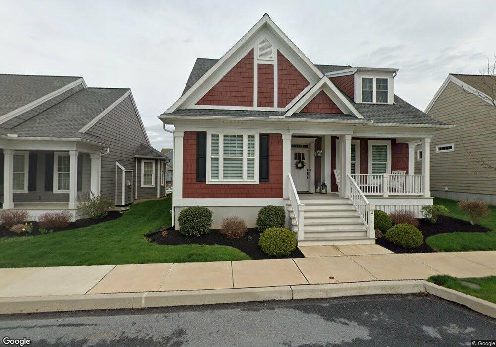
411 Declaration Ave Unit 118 Ephrata, PA 17522
Estimated Value: $539,061 - $619,000
2
Beds
2
Baths
1,807
Sq Ft
$320/Sq Ft
Est. Value
About This Home
This home is located at 411 Declaration Ave Unit 118, Ephrata, PA 17522 and is currently estimated at $578,265, approximately $320 per square foot. 411 Declaration Ave Unit 118 is a home located in Lancaster County with nearby schools including Ephrata Intermediate School, Clay Elementary School, and Ephrata Senior High School.
Ownership History
Date
Name
Owned For
Owner Type
Purchase Details
Closed on
May 1, 2018
Sold by
Lincoln Land Group Inc
Bought by
Wright Terry J and Wright Nancy S
Current Estimated Value
Home Financials for this Owner
Home Financials are based on the most recent Mortgage that was taken out on this home.
Original Mortgage
$352,013
Outstanding Balance
$306,197
Interest Rate
4.44%
Mortgage Type
Construction
Estimated Equity
$272,068
Create a Home Valuation Report for This Property
The Home Valuation Report is an in-depth analysis detailing your home's value as well as a comparison with similar homes in the area
Home Values in the Area
Average Home Value in this Area
Purchase History
| Date | Buyer | Sale Price | Title Company |
|---|---|---|---|
| Wright Terry J | $80,000 | Title Services |
Source: Public Records
Mortgage History
| Date | Status | Borrower | Loan Amount |
|---|---|---|---|
| Open | Wright Terry J | $352,013 |
Source: Public Records
Tax History
| Year | Tax Paid | Tax Assessment Tax Assessment Total Assessment is a certain percentage of the fair market value that is determined by local assessors to be the total taxable value of land and additions on the property. | Land | Improvement |
|---|---|---|---|---|
| 2025 | $7,411 | $323,600 | $83,100 | $240,500 |
| 2024 | $7,411 | $323,600 | $83,100 | $240,500 |
| 2023 | $7,220 | $323,600 | $83,100 | $240,500 |
| 2022 | $7,055 | $323,600 | $83,100 | $240,500 |
| 2021 | $6,903 | $323,600 | $83,100 | $240,500 |
| 2020 | $6,903 | $323,600 | $83,100 | $240,500 |
| 2019 | $6,806 | $323,600 | $83,100 | $240,500 |
| 2018 | $1,873 | $74,800 | $74,800 | $0 |
| 2017 | $887 | $34,800 | $34,800 | $0 |
| 2016 | $887 | $34,800 | $34,800 | $0 |
| 2015 | $175 | $34,800 | $34,800 | $0 |
Source: Public Records
Map
Nearby Homes
- 308 Liberty St
- 517 Foggy Bottom Rd
- 00 Morning Dr
- 120 Morning Dr
- 144 Sunrise Ln
- 131 Sunrise Ln
- 154 Sunrise Ln
- 239 Kimberly Ln
- 202 Roosevelt Cir
- 56 Tyler Dr
- 5 Moccasin Dr
- 85 Wissler Rd
- 2002 W Main St Unit 74
- 2002 W Main St Unit 63
- 147 Fieldcrest Ln Unit 105
- 129 Meadow Valley Rd Unit 11
- 637 W Main St
- 100 Lilly Dr
- 46 Mollie Dr
- 105 Martin Ave
- 411 Declaration Ave
- 407 Declaration Ave
- 407 Declaration Ave Unit 117
- 415 Declaration Ave
- 419 Declaration Ave
- 410 Liberty St
- 414 Liberty St
- 423 Declaration Ave
- 410 Declaration Ave
- 406 Declaration Ave
- 414 Declaration Ave
- 402 Liberty St
- 0 Declaration Ave Unit 1000782717
- 418 Declaration Ave
- 427 Declaration Ave
- 422 Liberty St
- 329 Declaration Ave
Your Personal Tour Guide
Ask me questions while you tour the home.