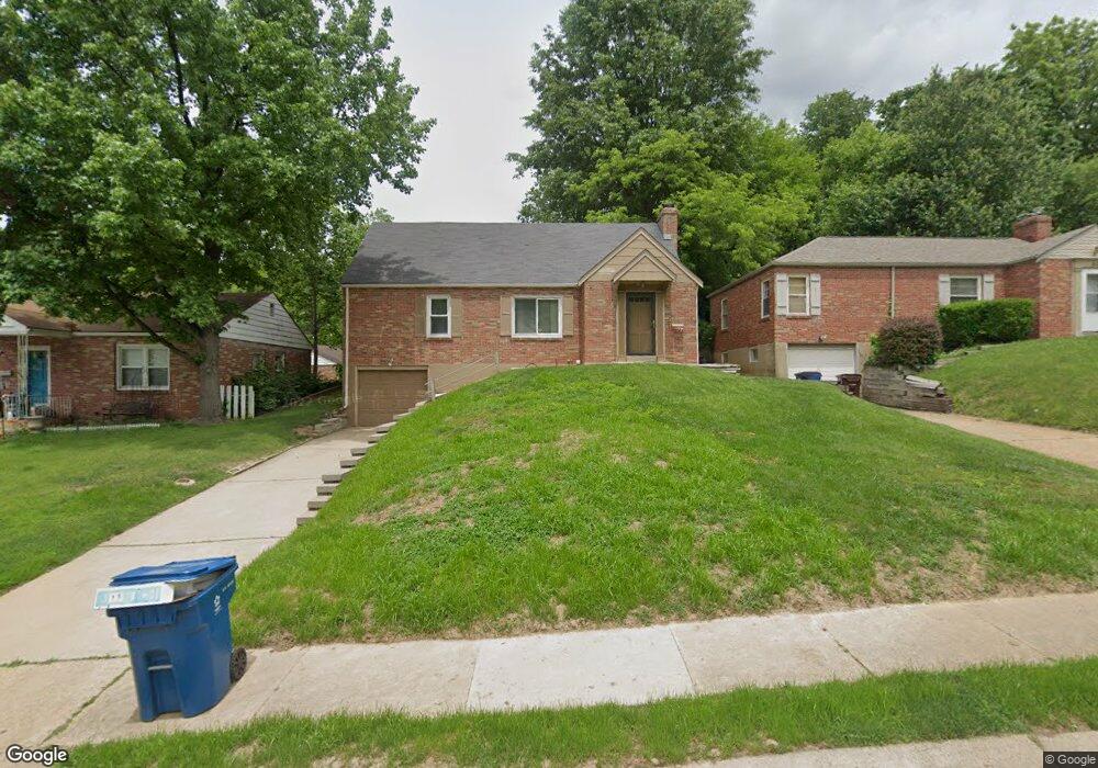
411 Robert Ave Ferguson, MO 63135
Estimated Value: $104,469 - $135,000
2
Beds
1
Bath
960
Sq Ft
$129/Sq Ft
Est. Value
About This Home
This home is located at 411 Robert Ave, Ferguson, MO 63135 and is currently estimated at $123,617, approximately $128 per square foot. 411 Robert Ave is a home located in St. Louis County with nearby schools including Lee Hamilton Elementary School, Ferguson Middle School, and McCluer High School.
Ownership History
Date
Name
Owned For
Owner Type
Purchase Details
Closed on
Sep 25, 2003
Sold by
Pernell Mary S and Peck Mary S
Bought by
Pernell Mary S
Current Estimated Value
Home Financials for this Owner
Home Financials are based on the most recent Mortgage that was taken out on this home.
Original Mortgage
$69,750
Interest Rate
6.24%
Mortgage Type
Purchase Money Mortgage
Create a Home Valuation Report for This Property
The Home Valuation Report is an in-depth analysis detailing your home's value as well as a comparison with similar homes in the area
Home Values in the Area
Average Home Value in this Area
Purchase History
| Date | Buyer | Sale Price | Title Company |
|---|---|---|---|
| Pernell Mary S | -- | -- |
Source: Public Records
Mortgage History
| Date | Status | Borrower | Loan Amount |
|---|---|---|---|
| Closed | Pernell Mary S | $69,750 |
Source: Public Records
Tax History
| Year | Tax Paid | Tax Assessment Tax Assessment Total Assessment is a certain percentage of the fair market value that is determined by local assessors to be the total taxable value of land and additions on the property. | Land | Improvement |
|---|---|---|---|---|
| 2025 | $1,507 | $22,140 | $2,870 | $19,270 |
| 2024 | $1,507 | $20,750 | $2,570 | $18,180 |
| 2023 | $1,498 | $20,750 | $2,570 | $18,180 |
| 2022 | $1,366 | $16,460 | $3,290 | $13,170 |
| 2021 | $1,322 | $16,460 | $3,290 | $13,170 |
| 2020 | $1,223 | $13,660 | $2,720 | $10,940 |
| 2019 | $1,200 | $13,660 | $2,720 | $10,940 |
| 2018 | $1,053 | $10,660 | $2,340 | $8,320 |
| 2017 | $1,032 | $10,660 | $2,340 | $8,320 |
| 2016 | $1,140 | $11,610 | $2,340 | $9,270 |
Source: Public Records
Map
Nearby Homes
- 410 Robert Ave
- 700 N Elizabeth Ave
- 820 N Elizabeth Ave
- 127 Thoroughman Ave
- 6 Sandringham Ln
- 631 Robert Ave
- 35 Robert Ave
- 705 Palace Ct
- 610 Superior Dr
- 7 Bromley Dr
- 212 Millman Dr
- 308 Superior Dr
- 35 E Cardigan Dr
- 62 W Cardigan Dr
- 809 N Florissant Rd
- 512 Coppinger Dr
- 6 Cardigan Dr
- 426 Darst Rd
- 6 Lake Pembroke Dr
- 1226 Beaver Trail Dr
- 415 Robert Ave
- 405 Robert Ave
- 712 Gerald Place
- 419 Robert Ave
- 401 Robert Ave
- 716 Gerald Place
- 423 Robert Ave
- 720 Gerald Place
- 406 Robert Ave
- 530 N Clay Ave
- 427 Robert Ave
- 416 Robert Ave
- 330 Robert Ave
- 431 Robert Ave
- 802 Gerald Place
- 713 Gerald Place
- 707 Gerald Place
- 420 Robert Ave
- 717 Gerald Place
- 437 Robert Ave
Your Personal Tour Guide
Ask me questions while you tour the home.