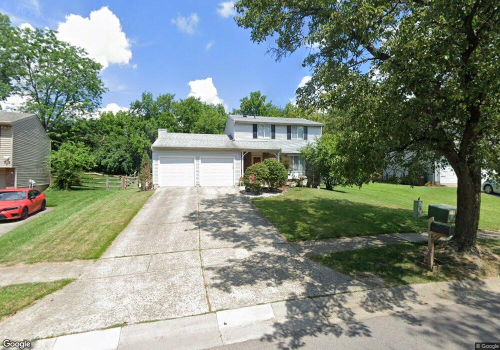
4118 Brookside Ct Mason, OH 45040
Landen NeighborhoodEstimated Value: $343,247 - $370,000
3
Beds
2
Baths
1,578
Sq Ft
$226/Sq Ft
Est. Value
About This Home
This home is located at 4118 Brookside Ct, Mason, OH 45040 and is currently estimated at $357,062, approximately $226 per square foot. 4118 Brookside Ct is a home located in Warren County with nearby schools including Kings Junior High School, Kings High School, and King Of Kings Lutheran Early Childhood Education.
Create a Home Valuation Report for This Property
The Home Valuation Report is an in-depth analysis detailing your home's value as well as a comparison with similar homes in the area
Home Values in the Area
Average Home Value in this Area
Tax History
We collect this data history from publicly available records. To have your information removed, we recommend requesting removal directly through your county’s website.
| Year | Tax Paid | Tax Assessment Tax Assessment Total Assessment is a certain percentage of the fair market value that is determined by local assessors to be the total taxable value of land and additions on the property. | Land | Improvement |
|---|---|---|---|---|
| 2025 | $4,670 | $87,570 | $22,050 | $65,520 |
| 2024 | $4,670 | $87,570 | $22,050 | $65,520 |
| 2023 | $4,140 | $69,646 | $11,623 | $58,023 |
| 2022 | $4,064 | $69,647 | $11,624 | $58,023 |
| 2021 | $3,414 | $69,647 | $11,624 | $58,023 |
| 2020 | $3,300 | $56,623 | $9,450 | $47,173 |
| 2019 | $3,340 | $56,623 | $9,450 | $47,173 |
| 2018 | $3,318 | $56,623 | $9,450 | $47,173 |
| 2017 | $3,477 | $52,472 | $9,335 | $43,138 |
| 2016 | $3,566 | $52,472 | $9,335 | $43,138 |
| 2015 | $3,036 | $52,472 | $9,335 | $43,138 |
| 2014 | $3,036 | $46,430 | $8,260 | $38,170 |
| 2013 | $3,040 | $53,130 | $9,450 | $43,680 |
Source: Public Records
Map
Nearby Homes
- 8846 Meadow Dr
- 3986 Townsley Dr
- 8724 Meadow Dr
- 3971 Everett Dr
- 9470 Carriage Run Cir
- 9398 Carriage Run Cir
- 9570 Old Village Dr
- 9186 Yarmouth Dr
- 8839 Pollard Place
- 3491 Simpson Trace
- 8780 S Cove Dr
- 3574 Twenty Mile Way Unit 3574
- 3237 S Cove Ct
- 8530 Cornetts Cove
- 3556 Twenty Mile Way Unit 3556
- 8188 Columbia Rd
- 3222 Locust Ave
- 9282 Greenery Ct Unit 311E
- 3444 Twenty Mile Way Unit 3444
- 9434 Greenery Ct
- 4130 Brookside Ct
- 4140 Brookside Ct
- 4150 Brookside Ct
- 4108 Brookside Ct
- 4477 Brookstone Ct
- 4129 Brookside Ct
- 4107 Brookside Ct
- 4154 Brookside Ct
- 4092 Brookside Ct
- 4149 Brookside Ct
- 4156 Brookside Ct
- 4090 Brookside Ct
- 4155 Brookside Ct
- 4085 Brookside Ct
- 4160 Brookside Ct
- 4088 Brookside Ct
- 4158 Brookside Ct
- 4071 Brookside Ct
- 8829 Logger Place
- 4070 Brookside Ct
Your Personal Tour Guide
Ask me questions while you tour the home.