4119 W Thompson Rd Stanton, MI 48888
Estimated Value: $176,000 - $323,000
3
Beds
1
Bath
1,500
Sq Ft
$164/Sq Ft
Est. Value
About This Home
This home is located at 4119 W Thompson Rd, Stanton, MI 48888 and is currently estimated at $245,302, approximately $163 per square foot. 4119 W Thompson Rd is a home located in Montcalm County with nearby schools including Central Montcalm Elementary School, Central Montcalm Upper Elementary School, and Central Montcalm Middle School.
Ownership History
Date
Name
Owned For
Owner Type
Purchase Details
Closed on
Mar 10, 2006
Sold by
Thomsen Martin G and Thomsen Sally S
Bought by
Jeffrey Mike
Current Estimated Value
Purchase Details
Closed on
Mar 3, 2006
Sold by
Thomsen Martin G and Thomsen Sally S
Bought by
Anslett Diana J
Purchase Details
Closed on
Dec 16, 2005
Sold by
Thomsen Martin G and Thomsen Sally S
Bought by
Freeport Dairy Llc
Create a Home Valuation Report for This Property
The Home Valuation Report is an in-depth analysis detailing your home's value as well as a comparison with similar homes in the area
Purchase History
| Date | Buyer | Sale Price | Title Company |
|---|---|---|---|
| Jeffrey Mike | $50,400 | None Available | |
| Anslett Diana J | $27,300 | None Available | |
| Huntley Albert | $43,050 | None Available | |
| Geiger Wayne N | $70,350 | None Available | |
| Freeport Dairy Llc | $580,000 | Metropolitan Title Company | |
| Freeport Dairy Llc | $580,000 | -- |
Source: Public Records
Tax History
| Year | Tax Paid | Tax Assessment Tax Assessment Total Assessment is a certain percentage of the fair market value that is determined by local assessors to be the total taxable value of land and additions on the property. | Land | Improvement |
|---|---|---|---|---|
| 2025 | $2,974 | $81,000 | $0 | $0 |
| 2024 | $3,132 | $77,000 | $0 | $0 |
| 2023 | -- | $68,800 | $0 | $0 |
Source: Public Records
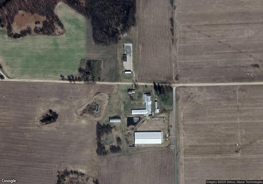
Map
Nearby Homes
- 3216 W Lakeside Dr
- 1034 Thompson St SW
- 1401 White Birch Dr
- 4701 W Channel Dr
- 259 Ivason Dr
- Lot 33 W Shore Dr
- 771 W Shore Dr Unit 14
- 4057 E Shore Dr
- 30 W Stanton Rd
- 525 W Day St
- 2-V/L W Stanton Rd
- 4829 S Derby Rd
- 339 S Vine St
- 119 N Camburn St
- 414 N Camburn St
- VL S Grove Lot 3 St
- V/L Lot 5 S State St
- 7961 W Sidney Rd
- 171 W Sidney Rd
- 0 E Main St
- 4005 W Thompson Rd
- 0 Thompson Rd Unit 18029883
- 0 Thompson Rd SW
- 4240 W Thompson Rd
- 4240 Thompson Ct Rd SW
- 4075 W Main Rd
- 3943 W Main Rd
- 3943 W Main Rd
- 4203 W Main Rd
- 1250 S Miles Rd
- 1250 S Miles Rd
- 1625 S Grow Rd
- 0 Main Rd SW Unit APP 4 3436710
- 0 Main Rd SW Unit PAR E
- 4062 W Main Rd
- 4223 W Main Rd
- 3966 W Main Rd
- 3815 W Main Rd
- 1018 S Nevins Rd
- 1402 S Nevins Rd
Your Personal Tour Guide
Ask me questions while you tour the home.