Estimated Value: $235,000 - $264,000
About This Home
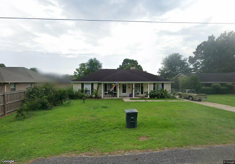
This home is located at 412 E Lawson Ave Unit 1, Foley, AL 36535 and is currently estimated at $252,595, approximately $152 per square foot. 412 E Lawson Ave Unit 1 is a home located in Baldwin County with nearby schools including Florence Mathis Elementary School, Foley Middle School, and Foley High School.
Ownership History
We collect this data history from publicly available records. To have your information removed, we recommend requesting removal directly through your county’s website.
Purchase Details
Home Financials for this Owner
Home Financials are based on the most recent Mortgage that was taken out on this home.Purchase Details
Home Values in the Area
Average Home Value in this Area
Purchase History
We collect this data history from publicly available records. To have your information removed, we recommend requesting removal directly through your county’s website.
| Date | Buyer | Sale Price | Title Company |
|---|---|---|---|
| $69,900 | None Available | ||
| -- | None Available |
Mortgage History
We collect this data history from publicly available records. To have your information removed, we recommend requesting removal directly through your county’s website.
| Date | Status | Borrower | Loan Amount |
|---|---|---|---|
| Previous Owner | $68,124 |
Tax History
We collect this data history from publicly available records. To have your information removed, we recommend requesting removal directly through your county’s website.
| Year | Tax Paid | Tax Assessment Tax Assessment Total Assessment is a certain percentage of the fair market value that is determined by local assessors to be the total taxable value of land and additions on the property. | Land | Improvement |
|---|---|---|---|---|
| 2025 | -- | $19,420 | $4,360 | $15,060 |
| 2024 | -- | $18,160 | $3,900 | $14,260 |
| 2023 | $0 | $18,640 | $4,600 | $14,040 |
| 2022 | $0 | $15,880 | $0 | $0 |
| 2021 | $349 | $13,880 | $0 | $0 |
| 2020 | $308 | $12,340 | $0 | $0 |
| 2019 | $300 | $12,040 | $0 | $0 |
| 2018 | $355 | $10,760 | $0 | $0 |
| 2017 | $680 | $20,620 | $0 | $0 |
| 2016 | $623 | $18,880 | $0 | $0 |
| 2015 | $619 | $18,760 | $0 | $0 |
| 2014 | $562 | $17,020 | $0 | $0 |
| 2013 | -- | $16,320 | $0 | $0 |
Map
- 0 S Poplar St Unit 340047
- 608 Mayflower Dr
- 1419 Plymouth Dr
- 625 Beignet Dr
- 616 Mayflower Dr
- 609 Iberville Dr
- 624 Mayflower Dr
- 627 Mayflower Dr
- 632 Mayflower Dr
- 645 Beignet Dr
- 637 Revere St
- 7601 Courant Cir
- 17910 Hens Ave
- 15404 Planters Ln
- 652 Mayflower Dr
- 1709 Grouse St
- 517 E Michigan Ave
- 1740 Covington Ln
- 509 Loblolly Ct
- 1716 Arcadia Dr
- 1709 Firefly Ln
- 1705 Firefly Ln
- 1713 Firefly Ln
- 1721 Firefly Ln Unit 20
- 25377 Firefly Ln
- 1701 Firefly Ln
- 1717 Firefly Ln
- 3 Windgate Ct
- 1708 Firefly Ln
- 5 Windgate Ct
- 410 E East Lawson Ave
- 0 S Poplar St Unit 181914
- 0 S Poplar St Unit 181901
- 0 S Poplar St Unit 185948
- 0 S Poplar St Unit 239122
- 0 S Poplar St Unit 339282
- 0 S Poplar St Unit 238004
- 0 S Poplar St Unit 304267
- 0 S Poplar St Unit 289556
- 0 S Poplar St Unit 289237
Ask me questions while you tour the home.