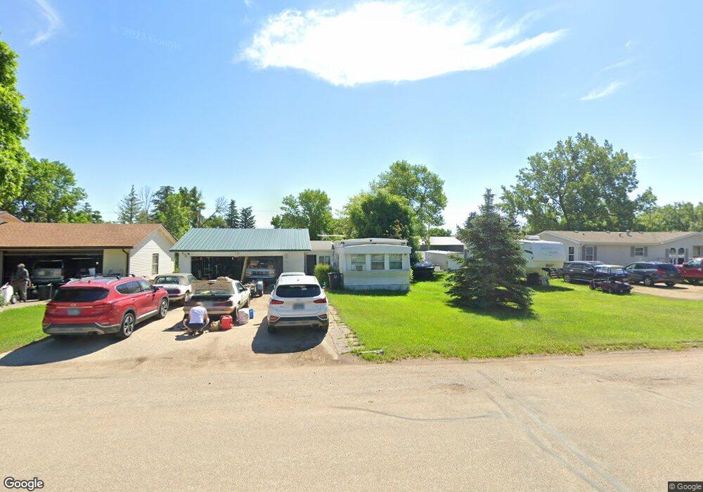
412 Main St N Berthold, ND 58718
Estimated Value: $60,188 - $241,000
3
Beds
1
Bath
1,088
Sq Ft
$165/Sq Ft
Est. Value
About This Home
This home is located at 412 Main St N, Berthold, ND 58718 and is currently estimated at $179,729, approximately $165 per square foot. 412 Main St N is a home.
Ownership History
Date
Name
Owned For
Owner Type
Purchase Details
Closed on
Jan 30, 2020
Sold by
Gupton Ray Miskle
Bought by
Dunn Raylene Louise and Gupton Robert Charles
Current Estimated Value
Purchase Details
Closed on
Feb 5, 2016
Sold by
Hansen Joel
Bought by
Harshaw Hubert W and Harshaw Lori A
Purchase Details
Closed on
Nov 30, 2015
Sold by
Hansen Joel
Bought by
Harshaw Hubert W and Harshaw Lori A
Create a Home Valuation Report for This Property
The Home Valuation Report is an in-depth analysis detailing your home's value as well as a comparison with similar homes in the area
Purchase History
| Date | Buyer | Sale Price | Title Company |
|---|---|---|---|
| Dunn Raylene Louise | -- | None Available | |
| Harshaw Hubert W | -- | None Available | |
| Harshaw Hubert W | $140,000 | None Available |
Source: Public Records
Tax History
| Year | Tax Paid | Tax Assessment Tax Assessment Total Assessment is a certain percentage of the fair market value that is determined by local assessors to be the total taxable value of land and additions on the property. | Land | Improvement |
|---|---|---|---|---|
| 2025 | $132 | $12,500 | $3,500 | $9,000 |
| 2024 | $132 | $10,500 | $2,500 | $8,000 |
| 2023 | $372 | $11,000 | $2,500 | $8,500 |
| 2022 | $452 | $18,500 | $11,000 | $7,500 |
| 2021 | $717 | $24,500 | $11,000 | $13,500 |
| 2020 | $676 | $23,000 | $10,000 | $13,000 |
| 2019 | $656 | $22,000 | $8,500 | $13,500 |
| 2018 | $0 | $22,000 | $8,500 | $13,500 |
| 2017 | $536 | $23,500 | $8,500 | $15,000 |
| 2016 | $535 | $25,100 | $8,800 | $16,300 |
| 2015 | $649 | $25,000 | $0 | $0 |
| 2014 | $649 | $34,500 | $0 | $0 |
Source: Public Records
Map
Nearby Homes
- 204 Tyler St NE
- 321 2nd St Unit Carpio
- 33 Main St N
- TBD 101st St NW
- 21 Roberts St
- 19 Roberts St
- 19 Robert St
- 412 Valley Ave
- 514 Valley Ave
- 8401 W County Road 15 W
- 2 Durango Dr
- 337 Riverwood Dr
- 345 Riverwood Dr
- 341 Riverwood Dr
- 349 Riverwood Dr
- 333 Riverwood Dr
- 2301 Johnson St
- 20 Ridgeview Ct
- 16 Ridgeview Ct
- 10195 County Road 15 W
- 406 Main St N
- 14 Walther Ave NE
- 413 Main St N
- 13 4th Ave NE
- 9 Walther Ave NE
- 401 Main St N
- 17 Walther Ave NE
- 501 Main St N
- 320 Main St N
- 321 Berthold St NE
- 508 Main St N
- 509 Berthold St NE
- 416 Berthold St NE
- 400 Berthold St NE
- 410 Dewey St NW
- 513 Main St N
- 313 Berthold St NE
- 18 Walther Ave
- 513 Berthold St NE
- 520 Main St N
Your Personal Tour Guide
Ask me questions while you tour the home.