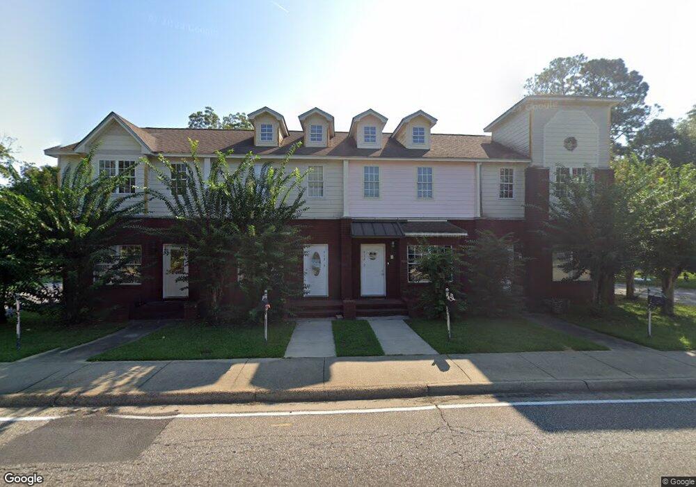
412 N Range St Unit 2 Dothan, AL 36303
Estimated Value: $73,000 - $117,189
2
Beds
2
Baths
1,197
Sq Ft
$82/Sq Ft
Est. Value
About This Home
This home is located at 412 N Range St Unit 2, Dothan, AL 36303 and is currently estimated at $97,797, approximately $81 per square foot. 412 N Range St Unit 2 is a home located in Houston County with nearby schools including Dothan City Early Education Center, Jerry Lee Faine Elementary School, and Dothan Preparatory Academy.
Ownership History
Date
Name
Owned For
Owner Type
Purchase Details
Closed on
Aug 8, 2023
Sold by
Nichols Shawn A
Bought by
Smith Brother Re Invs Llc
Current Estimated Value
Home Financials for this Owner
Home Financials are based on the most recent Mortgage that was taken out on this home.
Original Mortgage
$61,024
Interest Rate
6.43%
Mortgage Type
Construction
Purchase Details
Closed on
Apr 24, 2013
Sold by
Andress Larry and Andress Brenda
Bought by
Womack Jimmy R and Womack Anne A
Purchase Details
Closed on
Jul 26, 2012
Sold by
Weeks Kimberly E
Bought by
Andress Larry and Andress Brenda
Create a Home Valuation Report for This Property
The Home Valuation Report is an in-depth analysis detailing your home's value as well as a comparison with similar homes in the area
Purchase History
| Date | Buyer | Sale Price | Title Company |
|---|---|---|---|
| Smith Brother Re Invs Llc | $59,000 | -- | |
| Womack Jimmy R | -- | -- | |
| Andress Larry | -- | -- |
Source: Public Records
Mortgage History
| Date | Status | Borrower | Loan Amount |
|---|---|---|---|
| Closed | Smith Brother Re Invs Llc | $61,024 |
Source: Public Records
Tax History
| Year | Tax Paid | Tax Assessment Tax Assessment Total Assessment is a certain percentage of the fair market value that is determined by local assessors to be the total taxable value of land and additions on the property. | Land | Improvement |
|---|---|---|---|---|
| 2025 | $540 | $15,000 | $0 | $0 |
| 2024 | $540 | $14,560 | $0 | $0 |
| 2023 | $524 | $17,140 | $0 | $0 |
| 2022 | $482 | $13,980 | $0 | $0 |
| 2021 | $247 | $18,420 | $0 | $0 |
| 2020 | $252 | $7,300 | $0 | $0 |
| 2019 | $265 | $7,680 | $0 | $0 |
| 2018 | $265 | $7,680 | $0 | $0 |
| 2017 | $225 | $6,520 | $0 | $0 |
| 2016 | $225 | $0 | $0 | $0 |
| 2015 | $223 | $0 | $0 | $0 |
| 2014 | $223 | $0 | $0 | $0 |
Source: Public Records
Map
Nearby Homes
- 412 N Range St
- 605 E Newton St
- 1202 E Adams St
- 1207 E Burdeshaw St
- 0 U S Highway 84 E
- 1268 E Burdeshaw St
- 474 Webb Rd
- 500 Pine St
- 604 E Lafayette St
- 605 Collier St
- 1114 Hamilton St
- 308 Doris Ln
- 1001 Meharis Cir
- 302 E Stough St
- 241 Headland Ave
- 0 Lake St
- 512 S College St
- 1119 Meharis Cir
- 447 Headland Ave
- 2266 Lake St
- 412 N Range St Unit 1
- 412 N Range St Unit 3
- 412 N Range St Unit 4
- 803 E Adams St Unit 3
- 803 E Adams St Unit 2
- 803 E Adams St Unit 1
- 803 E Adams St
- 1103 E Adams St
- 1406 E Adams St
- 0 E Adams St
- 358 N Range St
- 800 E Adams St
- 444 N Range St
- 804 E Adams St
- 703 E Adams St
- 805 E Adams St
- 456 N Range St
- 806 E Adams St
- 621 Monument St
- 702 E Adams St
Your Personal Tour Guide
Ask me questions while you tour the home.