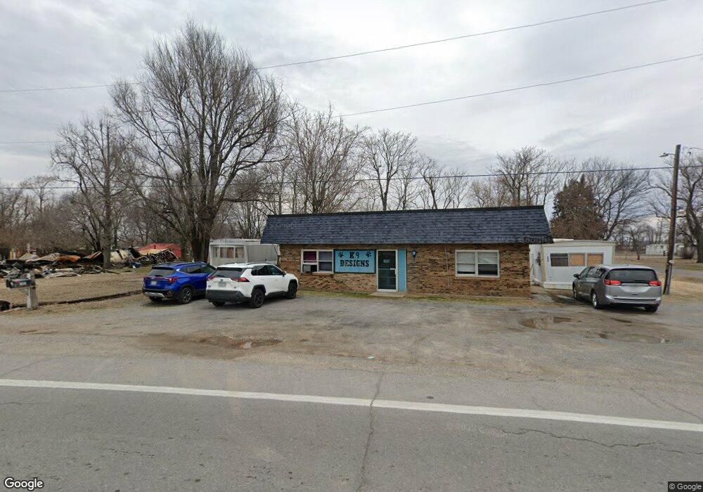
412 W Cedar St Bertrand, MO 63823
Estimated Value: $60,000 - $141,000
3
Beds
--
Bath
1,071
Sq Ft
$84/Sq Ft
Est. Value
About This Home
This home is located at 412 W Cedar St, Bertrand, MO 63823 and is currently estimated at $89,957, approximately $83 per square foot. 412 W Cedar St is a home with nearby schools including Warren E. Hearnes Elementary School, Charleston Middle School, and Charleston High School.
Ownership History
Date
Name
Owned For
Owner Type
Purchase Details
Closed on
Apr 3, 2023
Sold by
Purdie Christopher T
Bought by
Watkins David Michael and Watkins Phyllis
Current Estimated Value
Home Financials for this Owner
Home Financials are based on the most recent Mortgage that was taken out on this home.
Original Mortgage
$45,959
Outstanding Balance
$44,512
Interest Rate
6.5%
Mortgage Type
New Conventional
Estimated Equity
$45,445
Purchase Details
Closed on
Dec 13, 2020
Sold by
Sharla Purdie
Bought by
Purdie Sharla and Purdie Christopher T
Purchase Details
Closed on
Oct 2, 2013
Sold by
Gentry Michael
Bought by
Purdie Bruce and Purdie Sharla
Create a Home Valuation Report for This Property
The Home Valuation Report is an in-depth analysis detailing your home's value as well as a comparison with similar homes in the area
Purchase History
| Date | Buyer | Sale Price | Title Company |
|---|---|---|---|
| Watkins David Michael | -- | -- | |
| Purdie Sharla | -- | Thurman Tabatha J | |
| Purdie Bruce | -- | -- |
Source: Public Records
Mortgage History
| Date | Status | Borrower | Loan Amount |
|---|---|---|---|
| Open | Watkins David Michael | $45,959 |
Source: Public Records
Tax History
| Year | Tax Paid | Tax Assessment Tax Assessment Total Assessment is a certain percentage of the fair market value that is determined by local assessors to be the total taxable value of land and additions on the property. | Land | Improvement |
|---|---|---|---|---|
| 2025 | $326 | $6,370 | $0 | $0 |
| 2024 | $314 | $6,140 | $0 | $0 |
| 2023 | $314 | $6,140 | $0 | $0 |
| 2022 | $176 | $3,440 | $0 | $0 |
| 2021 | $176 | $3,440 | $0 | $0 |
| 2020 | $176 | $3,440 | $0 | $0 |
| 2019 | $172 | $3,440 | $0 | $0 |
| 2018 | $166 | $3,310 | $0 | $0 |
| 2016 | $0 | $3,310 | $0 | $3,310 |
| 2011 | $157 | $0 | $0 | $0 |
Source: Public Records
Map
Nearby Homes
- 306 W Cedar St
- 101 E Cedar St
- 211 E Elm St
- 611 E Cedar St
- 38 Matt St
- 11 Melissa St
- 5731 W 408th Rd
- 166 Cypress Dr
- 188 Swank St
- 000 Cr 429
- 224 S Interstate Dr
- 000 County Road 429
- 0 Mo-Aa Unit MAR25029644
- 410 Hux St
- 106 Jennings Ln
- 2011 State Highway H
- 2047 State Highway H
- 20 & 30 Artic Ln
- 116 Marion Ave
- 37 Plantation Dr
- 411 W Cedar St
- 408 W Cedar St
- 413 W Cedar St
- 416 W Cedar St
- 415 W Cedar St
- 407 W Cedar St
- 406 W Cedar St
- 102 N Liberty St
- 417 W Cedar St
- 104 N Liberty St
- 608 W Cedar St
- 410 W Beech St
- 412 W Beech St
- 416 W Beech St
- 103 N Liberty St
- 104 S Liberty St
- 408 W Beech St
- 418 W Beech St
- 406 W Beech St
- 105 N Liberty St
Your Personal Tour Guide
Ask me questions while you tour the home.