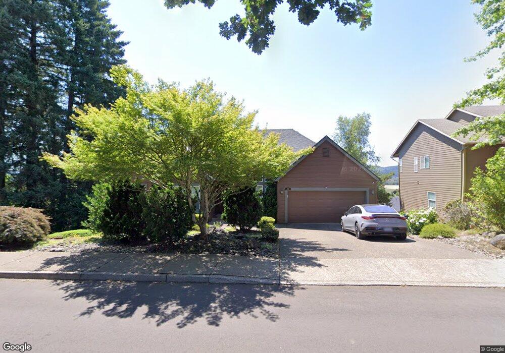
412 Watercrest Rd Forest Grove, OR 97116
Estimated Value: $591,000 - $719,000
5
Beds
3
Baths
2,822
Sq Ft
$228/Sq Ft
Est. Value
About This Home
This home is located at 412 Watercrest Rd, Forest Grove, OR 97116 and is currently estimated at $643,169, approximately $227 per square foot. 412 Watercrest Rd is a home located in Washington County with nearby schools including Harvey Clarke Elementary School, Tom McCall Upper Elementary School, and Neil Armstrong Middle School.
Ownership History
Date
Name
Owned For
Owner Type
Purchase Details
Closed on
May 15, 2024
Sold by
Monroe Nancy F and Monroe Norman W
Bought by
Nancy Nancy F Monroe Living Trust and Monroe
Current Estimated Value
Purchase Details
Closed on
May 31, 2016
Sold by
Si S Old House Llc
Bought by
Monroe Nancy F and Monroe Norman W
Purchase Details
Closed on
Aug 18, 2009
Sold by
Monroe Nancy F and Foote Curtis G
Bought by
Sis Old House Llc
Purchase Details
Closed on
Aug 6, 2009
Sold by
Monroe Nancy F
Bought by
Monroe Nancy F and Foote Curtis G
Purchase Details
Closed on
Sep 26, 2002
Sold by
Garner Charles and Garner Dana
Bought by
Foote F S and Foote Survivors Trust
Purchase Details
Closed on
May 15, 2001
Sold by
Amort Susan
Bought by
Garner Charles
Create a Home Valuation Report for This Property
The Home Valuation Report is an in-depth analysis detailing your home's value as well as a comparison with similar homes in the area
Purchase History
| Date | Buyer | Sale Price | Title Company |
|---|---|---|---|
| Nancy Nancy F Monroe Living Trust | -- | None Listed On Document | |
| Monroe Nancy F | -- | None Available | |
| Sis Old House Llc | -- | None Available | |
| Monroe Nancy F | -- | None Available | |
| Foote F S | $294,000 | Fidelity National Title Co | |
| Garner Charles | $40,000 | Oregon Title Insurance Co |
Source: Public Records
Tax History
| Year | Tax Paid | Tax Assessment Tax Assessment Total Assessment is a certain percentage of the fair market value that is determined by local assessors to be the total taxable value of land and additions on the property. | Land | Improvement |
|---|---|---|---|---|
| 2026 | $7,559 | $424,460 | -- | -- |
| 2025 | $7,559 | $412,100 | -- | -- |
| 2024 | $7,292 | $400,100 | -- | -- |
| 2023 | $7,292 | $388,450 | $0 | $0 |
| 2022 | $6,376 | $388,450 | $0 | $0 |
| 2021 | $6,293 | $366,160 | $0 | $0 |
| 2020 | $6,259 | $355,500 | $0 | $0 |
| 2019 | $6,120 | $345,150 | $0 | $0 |
| 2018 | $5,932 | $335,100 | $0 | $0 |
| 2017 | $5,749 | $325,340 | $0 | $0 |
| 2016 | $5,587 | $315,870 | $0 | $0 |
| 2015 | $5,372 | $306,670 | $0 | $0 |
| 2014 | $5,346 | $297,740 | $0 | $0 |
Source: Public Records
Map
Nearby Homes
- 398 Watercrest Rd
- 3163 Fleming Place
- 434 Sky Ln
- 424 Sky Ln
- 353 Jessica Dr
- 354 Watercrest Rd
- 3157 Fleming Place
- 3148 Fleming Place
- 3145 Fleming Place
- 510 Watercrest Rd
- 414 Sky Ln
- 3144 Fleming Place
- 295 Jessica Dr
- 3133 Fleming Place
- 405 Meadow View Rd
- 506 Sky Ln
- 393 Meadow View Rd
- 406 Sky Ln
- 3132 Fleming Place
Your Personal Tour Guide
Ask me questions while you tour the home.