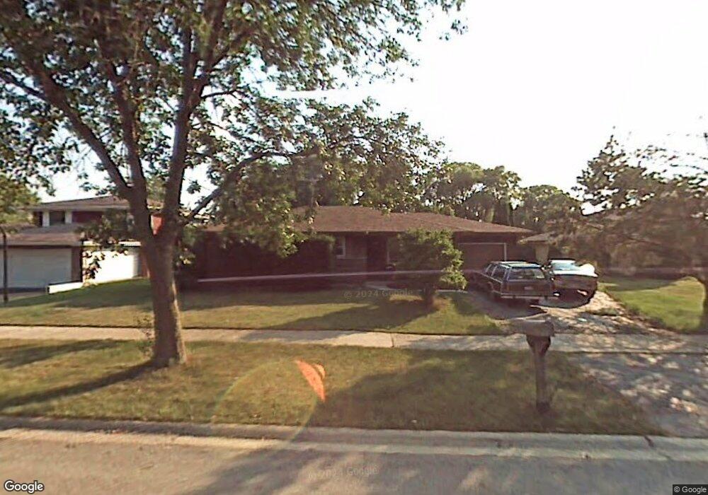
4129 Sumter Dr Matteson, IL 60443
Old Matteson NeighborhoodEstimated Value: $213,000 - $234,000
About This Home
This home is located at 4129 Sumter Dr, Matteson, IL 60443 and is currently estimated at $224,054, approximately $159 per square foot. 4129 Sumter Dr is a home located in Cook County with nearby schools including Illinois School, Matteson Elementary School, and Sauk Elementary School.
Ownership History
We collect this data history from publicly available records. To have your information removed, we recommend requesting removal directly through your county’s website.
Purchase Details
Purchase Details
Purchase Details
Home Values in the Area
Average Home Value in this Area
Purchase History
We collect this data history from publicly available records. To have your information removed, we recommend requesting removal directly through your county’s website.
| Date | Buyer | Sale Price | Title Company |
|---|---|---|---|
| -- | None Available | ||
| -- | Ticor | ||
| -- | -- |
Tax History
We collect this data history from publicly available records. To have your information removed, we recommend requesting removal directly through your county’s website.
| Year | Tax Paid | Tax Assessment Tax Assessment Total Assessment is a certain percentage of the fair market value that is determined by local assessors to be the total taxable value of land and additions on the property. | Land | Improvement |
|---|---|---|---|---|
| 2025 | $4,973 | $18,000 | $4,501 | $13,499 |
| 2024 | $4,973 | $18,000 | $4,501 | $13,499 |
| 2023 | $3,506 | $18,000 | $4,501 | $13,499 |
| 2022 | $3,506 | $12,620 | $3,938 | $8,682 |
| 2021 | $3,643 | $12,619 | $3,938 | $8,681 |
| 2020 | $6,427 | $12,619 | $3,938 | $8,681 |
| 2019 | $1,965 | $9,969 | $3,656 | $6,313 |
| 2018 | $1,959 | $9,969 | $3,656 | $6,313 |
| 2017 | $1,934 | $9,969 | $3,656 | $6,313 |
| 2016 | $3,405 | $9,421 | $3,375 | $6,046 |
| 2015 | $3,314 | $9,421 | $3,375 | $6,046 |
| 2014 | $3,236 | $9,421 | $3,375 | $6,046 |
| 2013 | $3,538 | $10,827 | $3,375 | $7,452 |
Map
- 4101 216th St
- 21616 Richmond Rd
- 4035 216th St
- 4042 Charleston Rd
- 3865 216th Place
- 3857 217th St
- 21406 S Jean Ave
- 3817 216th Place
- 21835 1/2 Richton Rd
- 4430 Maple Ave
- 4448 Maple Ave
- 21701 Governors Hwy
- 4435 Balmoral Dr
- 22100 Karlov Ave
- 2033 Lioncrest Dr
- 3732 214th St
- 3014 Richton Place
- 4201 Birchwood Rd
- 22121 Karlov Ave
- 3704 214th Place
Ask me questions while you tour the home.