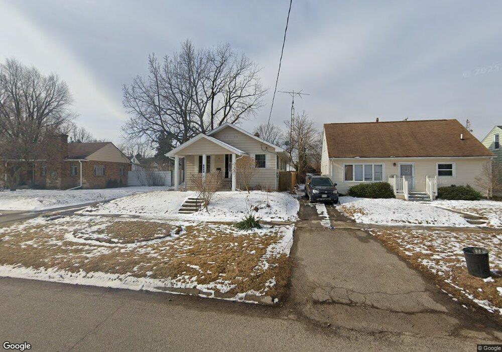
4130 Circle Dr Flint, MI 48507
Circle Drive NeighborhoodEstimated Value: $65,000 - $100,000
3
Beds
1
Bath
1,040
Sq Ft
$80/Sq Ft
Est. Value
About This Home
This home is located at 4130 Circle Dr, Flint, MI 48507 and is currently estimated at $83,485, approximately $80 per square foot. 4130 Circle Dr is a home located in Genesee County with nearby schools including Freeman Elementary School, Flint Southwestern Classical Academy, and International Academy of Flint (K-12).
Ownership History
Date
Name
Owned For
Owner Type
Purchase Details
Closed on
Apr 6, 2022
Sold by
Xiomara Martinez
Bought by
Perez Aymee Yanes
Current Estimated Value
Purchase Details
Closed on
Apr 8, 2021
Sold by
Genesee County Land Bank Authority
Bought by
Perez Aymee Yanes and Martinez Xiomara
Purchase Details
Closed on
Dec 19, 2019
Sold by
Cherry Deborah L
Bought by
County Land Bank Authority
Purchase Details
Closed on
Oct 8, 2013
Sold by
Guzek Elizabeth
Bought by
Versailles Gary
Purchase Details
Closed on
Jan 13, 2011
Sold by
Secretary Of Veterans Affairs
Bought by
Guzak Elizabeth
Purchase Details
Closed on
Mar 12, 2010
Sold by
Citimortgage Inc
Bought by
Department Of Veterans Affairs
Purchase Details
Closed on
Feb 17, 2010
Sold by
Pickens Rollo and Pickens Kristacy
Bought by
Citimortgage Inc
Purchase Details
Closed on
May 3, 2007
Sold by
Poirier Jason R and Poirier Juliet
Bought by
Pickens Rollo and Pickens Kristacy
Create a Home Valuation Report for This Property
The Home Valuation Report is an in-depth analysis detailing your home's value as well as a comparison with similar homes in the area
Home Values in the Area
Average Home Value in this Area
Purchase History
| Date | Buyer | Sale Price | Title Company |
|---|---|---|---|
| Perez Aymee Yanes | -- | None Listed On Document | |
| Perez Aymee Yanes | $45,919 | None Listed On Document | |
| County Land Bank Authority | -- | None Available | |
| Versailles Gary | $1,000 | None Available | |
| Guzak Elizabeth | $16,500 | Cislo Title Co | |
| Department Of Veterans Affairs | -- | None Available | |
| Citimortgage Inc | $26,439 | None Available | |
| Pickens Rollo | $87,900 | Metropolitan Title Company |
Source: Public Records
Tax History
| Year | Tax Paid | Tax Assessment Tax Assessment Total Assessment is a certain percentage of the fair market value that is determined by local assessors to be the total taxable value of land and additions on the property. | Land | Improvement |
|---|---|---|---|---|
| 2025 | $1,816 | $29,100 | $0 | $0 |
| 2024 | $1,667 | $25,800 | $0 | $0 |
| 2023 | $1,617 | $23,900 | $0 | $0 |
| 2022 | $0 | $34,600 | $0 | $0 |
| 2021 | $268 | $0 | $0 | $0 |
| 2020 | $268 | $0 | $0 | $0 |
| 2019 | $1,812 | $16,500 | $0 | $0 |
| 2018 | $2,025 | $14,500 | $0 | $0 |
| 2017 | $3,392 | $0 | $0 | $0 |
| 2016 | $779 | $0 | $0 | $0 |
| 2015 | -- | $0 | $0 | $0 |
| 2014 | -- | $0 | $0 | $0 |
| 2012 | -- | $14,900 | $0 | $0 |
Source: Public Records
Map
Nearby Homes
- 4126 Circle Dr
- 4127 Custer Ave
- 617 McKeighan Ave
- 530 McKeighan Ave
- 621 Burroughs Ave
- 630 Buckingham Ave
- 326 Burroughs Ave
- 352 Buckingham Ave
- 361 Buckingham Ave
- 366 E Atherton Rd
- 413 E Hemphill Rd
- 338 Browning Ave
- 916 Buckingham Ave
- 720 Algonquin Ave
- 4526 Milton Dr
- 1030 McKeighan Ave
- 4424 Cheyenne Ave
- 3505 Comanche Ave
- 2271 Kenneth St
- 2291 Kenneth St
Your Personal Tour Guide
Ask me questions while you tour the home.