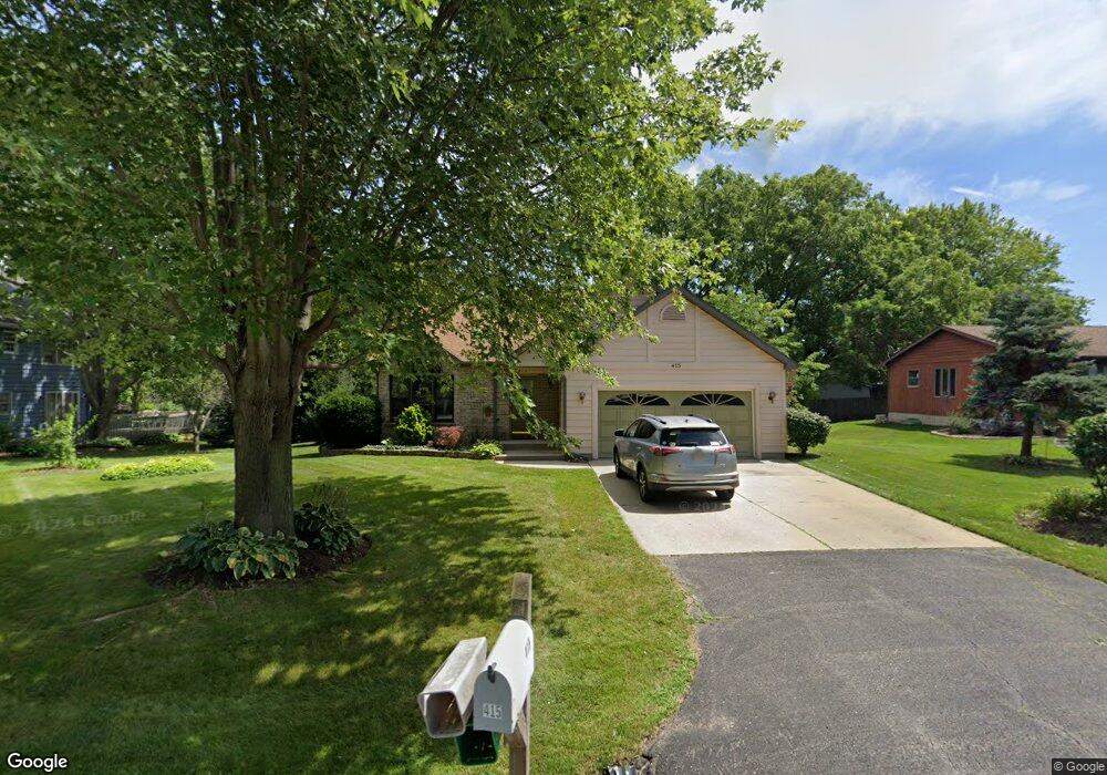
415 Cavin Ave Winthrop Harbor, IL 60096
Estimated Value: $299,586 - $346,000
4
Beds
2
Baths
1,710
Sq Ft
$188/Sq Ft
Est. Value
About This Home
This home is located at 415 Cavin Ave, Winthrop Harbor, IL 60096 and is currently estimated at $321,397, approximately $187 per square foot. 415 Cavin Ave is a home located in Lake County with nearby schools including Westfield School, North Prairie Junior High School, and Zion-Benton Township High School.
Ownership History
Date
Name
Owned For
Owner Type
Purchase Details
Closed on
Dec 6, 2010
Sold by
Feldman Darlene
Bought by
Bigolin Miriam
Current Estimated Value
Home Financials for this Owner
Home Financials are based on the most recent Mortgage that was taken out on this home.
Original Mortgage
$55,000
Outstanding Balance
$36,906
Interest Rate
4.53%
Mortgage Type
New Conventional
Estimated Equity
$284,491
Purchase Details
Closed on
Oct 8, 2009
Sold by
Warren William A and Estate Of Charles R Kyrk
Bought by
Feldman Darlene
Create a Home Valuation Report for This Property
The Home Valuation Report is an in-depth analysis detailing your home's value as well as a comparison with similar homes in the area
Home Values in the Area
Average Home Value in this Area
Purchase History
| Date | Buyer | Sale Price | Title Company |
|---|---|---|---|
| Bigolin Miriam | $145,000 | None Available | |
| Feldman Darlene | $185,000 | Multiple |
Source: Public Records
Mortgage History
| Date | Status | Borrower | Loan Amount |
|---|---|---|---|
| Open | Bigolin Miriam | $55,000 |
Source: Public Records
Tax History
| Year | Tax Paid | Tax Assessment Tax Assessment Total Assessment is a certain percentage of the fair market value that is determined by local assessors to be the total taxable value of land and additions on the property. | Land | Improvement |
|---|---|---|---|---|
| 2024 | $3,911 | $79,669 | $8,752 | $70,917 |
| 2023 | $4,541 | $74,733 | $8,449 | $66,284 |
| 2022 | $4,541 | $65,479 | $8,233 | $57,246 |
| 2021 | $4,780 | $63,814 | $8,024 | $55,790 |
| 2020 | $4,878 | $60,897 | $7,657 | $53,240 |
| 2019 | $4,968 | $57,777 | $7,265 | $50,512 |
| 2018 | $5,102 | $55,798 | $8,767 | $47,031 |
| 2017 | $5,375 | $52,491 | $8,247 | $44,244 |
| 2016 | $6,656 | $49,972 | $7,851 | $42,121 |
| 2015 | $3,890 | $45,829 | $7,200 | $38,629 |
| 2014 | $4,444 | $38,001 | $10,739 | $27,262 |
| 2012 | $4,406 | $39,490 | $11,160 | $28,330 |
Source: Public Records
Map
Nearby Homes
- 0 Garnett Ave
- 535 Thompson Ave
- 514 Judith Ct
- 338 College Ave
- 630 Whitney Ave
- 150 Old Darby Ln
- 802 Kirkwood Ave
- 714 Landon Ave
- 907 E Broadway Ave Unit E
- 12212 Sheridan Rd
- 0 13th St Unit MRD12569828
- 3106 13th St
- 1134 Franklin Ave
- 1808 13th St
- 1206 Landon Ave
- 0 14th St Unit MRD12502206
- 11912 28th Ave
- 1400 Sheridan Rd
- 1715 14th St
- 210 Oak Ln
Your Personal Tour Guide
Ask me questions while you tour the home.