4150 Stephanie Ln Howell, MI 48843
Estimated Value: $621,000 - $1,024,936
4
Beds
6
Baths
3,465
Sq Ft
$252/Sq Ft
Est. Value
About This Home
This home is located at 4150 Stephanie Ln, Howell, MI 48843 and is currently estimated at $872,979, approximately $251 per square foot. 4150 Stephanie Ln is a home located in Livingston County with nearby schools including Ruahmah J. Hutchings Elementary, Parker Middle School, and Howell High School.
Ownership History
Date
Name
Owned For
Owner Type
Purchase Details
Closed on
Jan 31, 2022
Sold by
Peter Reuter Robert and Lynn Rohonda
Bought by
Reuter Robert Peter and Reuter Rohonda Lynn
Current Estimated Value
Purchase Details
Closed on
Jan 22, 1999
Sold by
Noble Phillip W and Noble Kristen E
Bought by
Noble Phillip W and Noble Kristen E
Home Financials for this Owner
Home Financials are based on the most recent Mortgage that was taken out on this home.
Original Mortgage
$180,000
Interest Rate
6.88%
Create a Home Valuation Report for This Property
The Home Valuation Report is an in-depth analysis detailing your home's value as well as a comparison with similar homes in the area
Home Values in the Area
Average Home Value in this Area
Purchase History
| Date | Buyer | Sale Price | Title Company |
|---|---|---|---|
| Reuter Robert Peter | -- | First American Title | |
| Noble Phillip W | -- | Title Office |
Source: Public Records
Mortgage History
| Date | Status | Borrower | Loan Amount |
|---|---|---|---|
| Previous Owner | Noble Phillip W | $180,000 |
Source: Public Records
Tax History
| Year | Tax Paid | Tax Assessment Tax Assessment Total Assessment is a certain percentage of the fair market value that is determined by local assessors to be the total taxable value of land and additions on the property. | Land | Improvement |
|---|---|---|---|---|
| 2025 | $4,811 | $549,100 | $0 | $0 |
| 2024 | $4,674 | $479,600 | $0 | $0 |
| 2023 | $4,465 | $437,100 | $0 | $0 |
| 2022 | $2,054 | $356,000 | $0 | $0 |
| 2021 | $6,185 | $375,400 | $0 | $0 |
| 2020 | $6,256 | $356,000 | $0 | $0 |
| 2019 | $6,167 | $331,000 | $0 | $0 |
| 2018 | $6,092 | $299,700 | $0 | $0 |
| 2017 | $6,011 | $294,400 | $0 | $0 |
| 2016 | $5,978 | $286,000 | $0 | $0 |
| 2014 | $5,620 | $247,900 | $0 | $0 |
| 2012 | $5,620 | $233,800 | $0 | $0 |
Source: Public Records
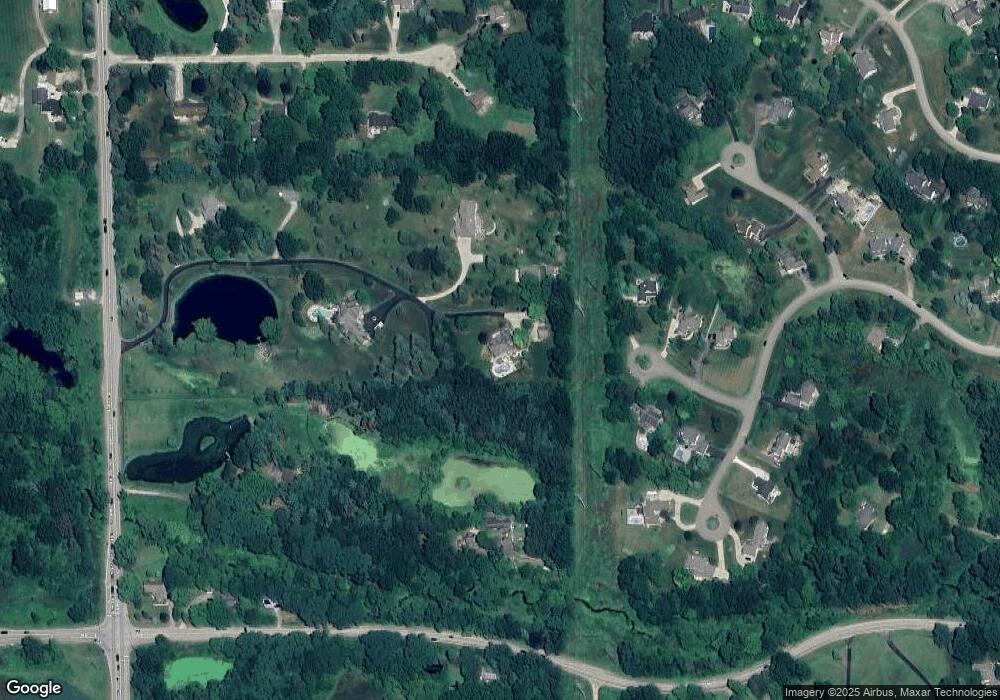
Map
Nearby Homes
- 4450 Golf Club Rd
- 453 N Hughes Rd
- 4404 Willow View Ct
- 4324 Hampton Ridge Blvd
- 612 Sunrise Park St
- VL Gentry Rd
- VL E Grand River N
- 560 Black Oaks Trail
- 562 S Hughes Rd
- 1068 Sunrise Park St
- 5570 Golf Club Rd
- 2756 Turning Leaf Dr
- 2730 Turning Leaf Dr Unit 10
- 1146 Sunrise Park St
- 4145 Ash Tree Ln
- 000 Victory Dr
- 2830 E Grand River Ave
- 0000 Eager Pines Ct
- 475 Cannonade Loop
- 2607 E Grand River Ave
- 4125 Stephanie Ln
- 4100 Stephanie Ln
- 4299 Lotus Ct
- 4308 Lotus Ct Unit Bldg-Unit
- 4308 Lotus Ct
- 4225 Golf Club Rd
- 4311 Lotus Ct
- 4395 Creekview Dr
- 4381 Creekview Dr
- 4323 Lotus Ct
- 243 Locust Point
- 4248 Brandon Dr
- 4087 Stephanie Ln
- 4186 Brandon Dr
- 227 Locust Point
- 250 Locust Point
- 4400 Creekview Dr Unit Bldg-Unit
- 4400 Creekview Dr
- 4392 Creekview Dr
- 4358 Creekview Dr
Your Personal Tour Guide
Ask me questions while you tour the home.