Estimated Value: $387,000 - $1,040,965
3
Beds
2
Baths
2,532
Sq Ft
$268/Sq Ft
Est. Value
About This Home
This home is located at 4155 Wayne Trace Rd, Eaton, OH 45320 and is currently estimated at $678,988, approximately $268 per square foot. 4155 Wayne Trace Rd is a home located in Preble County with nearby schools including Twin Valley South Elementary School, Twin Valley South Middle School, and Twin Valley South High School.
Ownership History
Date
Name
Owned For
Owner Type
Purchase Details
Closed on
Sep 23, 1999
Sold by
Parker Olivia
Bought by
Kutter Michael J and Kutter Kimberly
Current Estimated Value
Home Financials for this Owner
Home Financials are based on the most recent Mortgage that was taken out on this home.
Original Mortgage
$160,000
Outstanding Balance
$44,480
Interest Rate
8.21%
Mortgage Type
New Conventional
Estimated Equity
$634,508
Create a Home Valuation Report for This Property
The Home Valuation Report is an in-depth analysis detailing your home's value as well as a comparison with similar homes in the area
Purchase History
| Date | Buyer | Sale Price | Title Company |
|---|---|---|---|
| Kutter Michael J | $200,000 | -- |
Source: Public Records
Mortgage History
| Date | Status | Borrower | Loan Amount |
|---|---|---|---|
| Open | Kutter Michael J | $160,000 |
Source: Public Records
Tax History
| Year | Tax Paid | Tax Assessment Tax Assessment Total Assessment is a certain percentage of the fair market value that is determined by local assessors to be the total taxable value of land and additions on the property. | Land | Improvement |
|---|---|---|---|---|
| 2025 | $5,892 | $334,360 | $235,900 | $98,460 |
| 2024 | $5,892 | $334,360 | $235,900 | $98,460 |
| 2023 | $5,989 | $334,360 | $235,900 | $98,460 |
| 2022 | $4,410 | $117,270 | $37,150 | $80,120 |
| 2021 | $4,662 | $275,590 | $195,470 | $80,120 |
| 2020 | $4,424 | $275,590 | $195,470 | $80,120 |
| 2019 | $5,459 | $267,040 | $186,150 | $80,890 |
| 2018 | $5,242 | $260,070 | $186,150 | $73,920 |
| 2017 | $5,511 | $260,070 | $186,150 | $73,920 |
| 2016 | $5,797 | $237,630 | $156,360 | $81,270 |
| 2014 | $5,759 | $237,550 | $156,280 | $81,270 |
| 2013 | $4,515 | $207,760 | $126,490 | $81,270 |
Source: Public Records
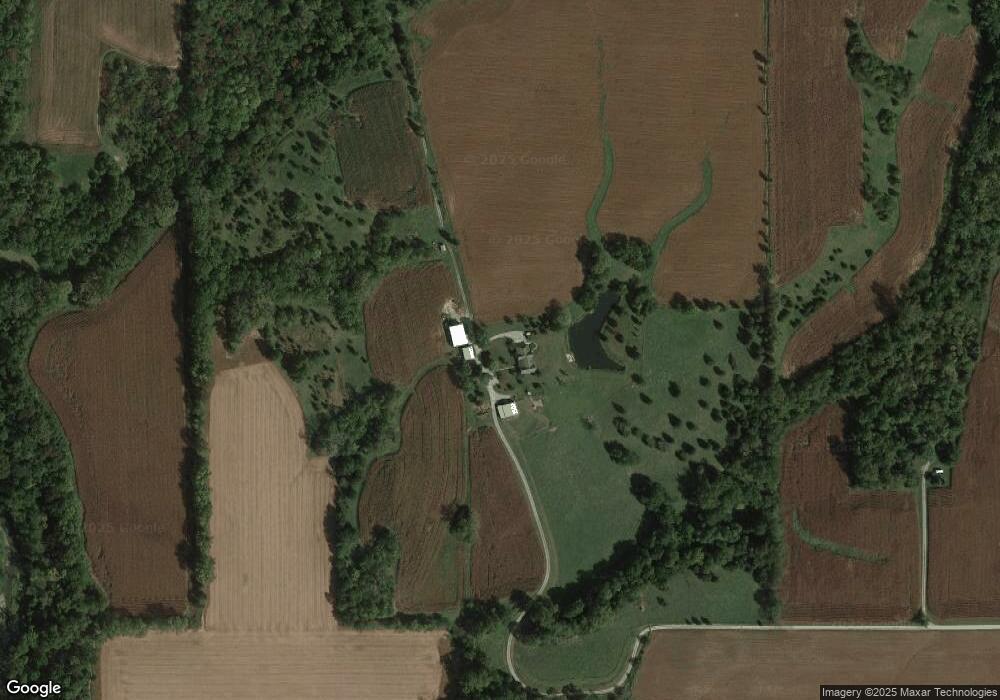
Map
Nearby Homes
- 409 Chestnut Dr
- 401 Chestnut Dr
- 805 Brande Dr
- 350 Frizzell Ave
- 871 Brande Dr
- 816 Old Norse Dr
- 1851 & 1892 Old Norse Dr
- 777 Lakengren Dr
- 817 Old Norse Dr
- 315 Evergreen Dr
- 820 Lars Cove
- 751 Lakengren Dr
- 417 Elmwood Dr
- 724 Lakengren Dr
- 854 Oslo Cove
- 0 Lars Cove Unit 1745954
- 321 Liberty St
- 305 Donna Dr
- 693 Lakengren Dr
- 218 Nation Ave
- 4159 Wayne Trace Rd
- 3609 Wayne Trace Rd
- 4157 Wayne Trace Rd
- 4157 Wayne Trace Rd
- 4016 Wayne Trace Rd
- 3768 Wayne Trace Rd
- 3768 Wayne Trace Rd
- 4444 Wayne Trace Rd
- 4242B Us Route 127 N
- 4242 Us Route 127 S
- 3767 Us Route 127 N
- 5134 Us Route 127 S
- 4053 Us Route 127 S
- 3727 Us Route 127 N
- 3661 Us Route 127 S
- 3218 Wayne Trace Rd
- 3661 Us Route 127 N
- 4691 Wayne Trace Rd
- 3585 Us Route 127 N
- 530 Brower Rd
Your Personal Tour Guide
Ask me questions while you tour the home.