416 John Patrick Dr Stevensville, MD 21666
Estimated Value: $647,000 - $764,000
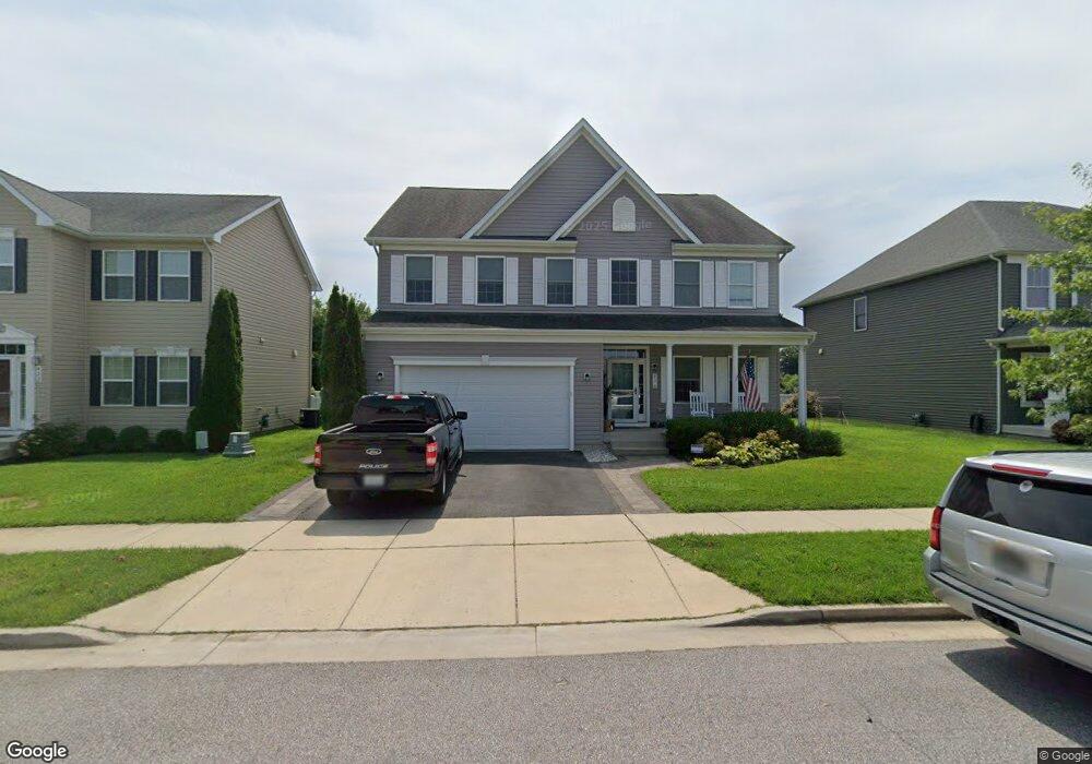
About This Home
This home is located at 416 John Patrick Dr, Stevensville, MD 21666 and is currently estimated at $695,400, approximately $215 per square foot. 416 John Patrick Dr is a home located in Queen Anne's County with nearby schools including Kent Island Elementary School, Bayside Elementary School, and Matapeake Middle School.
Ownership History
We collect this data history from publicly available records. To have your information removed, we recommend requesting removal directly through your county’s website.
Purchase Details
Home Financials for this Owner
Home Financials are based on the most recent Mortgage that was taken out on this home.Home Values in the Area
Average Home Value in this Area
Purchase History
We collect this data history from publicly available records. To have your information removed, we recommend requesting removal directly through your county’s website.
| Date | Buyer | Sale Price | Title Company |
|---|---|---|---|
| $500,366 | United Title & Escrow Inc |
Mortgage History
We collect this data history from publicly available records. To have your information removed, we recommend requesting removal directly through your county’s website.
| Date | Status | Borrower | Loan Amount |
|---|---|---|---|
| Open | $49,986 | ||
| Open | $400,292 |
Tax History
We collect this data history from publicly available records. To have your information removed, we recommend requesting removal directly through your county’s website.
| Year | Tax Paid | Tax Assessment Tax Assessment Total Assessment is a certain percentage of the fair market value that is determined by local assessors to be the total taxable value of land and additions on the property. | Land | Improvement |
|---|---|---|---|---|
| 2025 | $5,102 | $570,300 | $0 | $0 |
| 2024 | $4,843 | $529,000 | $0 | $0 |
| 2023 | $4,594 | $487,700 | $181,800 | $305,900 |
| 2022 | $4,548 | $482,833 | $0 | $0 |
| 2021 | $4,538 | $477,967 | $0 | $0 |
| 2020 | $4,538 | $473,100 | $180,300 | $292,800 |
| 2019 | $4,538 | $473,100 | $180,300 | $292,800 |
| 2018 | $4,538 | $473,100 | $180,300 | $292,800 |
| 2017 | $4,406 | $482,200 | $0 | $0 |
| 2016 | -- | $452,867 | $0 | $0 |
| 2015 | $589 | $423,533 | $0 | $0 |
| 2014 | $589 | $394,200 | $0 | $0 |
Map
- 128 Allison Jane Dr
- 322 Allison Jane Dr Unit H-4
- 335 Anna Carol Dr
- 1102 Marion Quimby Dr
- 212 Jessica Lyn Ave Unit G3
- 131 John Patrick Dr
- 1205 Marion Quimby Dr
- 108 John Patrick Dr
- 1305 Marion Quimby Dr
- 1302 Marion Quimby Dr
- 1301 Marion Quimby Dr
- 1805 Marion Quimby Dr
- 1603 Marion Quimby Dr
- 854 Moorings Cir Unit 12
- 784 Moorings Cir
- 205 Jessica Lyn Ave
- 226 Liam Thomas Ln Unit D6
- 118 Sophie Ln
- 845 Moorings Cir Unit 138
- 917 Moorings Cir Unit 131
Ask me questions while you tour the home.