4169 Highway 182 Crouse, NC 28033
Estimated Value: $385,000 - $473,000
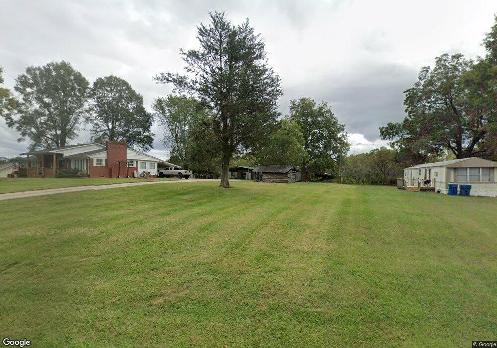
About This Home
This home is located at 4169 Highway 182, Crouse, NC 28033 and is currently estimated at $415,000, approximately $201 per square foot. 4169 Highway 182 is a home located in Lincoln County with nearby schools including Norris S. Childers Elementary School, West Lincoln Middle, and West Lincoln High School.
Ownership History
We collect this data history from publicly available records. To have your information removed, we recommend requesting removal directly through your county’s website.
Purchase Details
Purchase Details
Purchase Details
Purchase Details
Purchase History
We collect this data history from publicly available records. To have your information removed, we recommend requesting removal directly through your county’s website.
| Date | Buyer | Sale Price | Title Company |
|---|---|---|---|
| -- | None Available | ||
| -- | None Available | ||
| $154,000 | -- | ||
| $265,000 | -- |
Mortgage History
We collect this data history from publicly available records. To have your information removed, we recommend requesting removal directly through your county’s website.
| Date | Status | Borrower | Loan Amount |
|---|---|---|---|
| Previous Owner | $85,000 | ||
| Previous Owner | $52,000 | ||
| Previous Owner | $68,000 |
Tax History
We collect this data history from publicly available records. To have your information removed, we recommend requesting removal directly through your county’s website.
| Year | Tax Paid | Tax Assessment Tax Assessment Total Assessment is a certain percentage of the fair market value that is determined by local assessors to be the total taxable value of land and additions on the property. | Land | Improvement |
|---|---|---|---|---|
| 2025 | $2,450 | $342,024 | $53,146 | $288,878 |
| 2024 | $2,410 | $342,024 | $53,146 | $288,878 |
| 2023 | $2,410 | $342,024 | $53,146 | $288,878 |
| 2022 | $1,804 | $208,671 | $40,288 | $168,383 |
| 2021 | $1,804 | $208,671 | $40,288 | $168,383 |
| 2020 | $1,533 | $208,671 | $40,288 | $168,383 |
| 2019 | $1,533 | $208,671 | $40,288 | $168,383 |
| 2018 | $1,570 | $186,497 | $38,407 | $148,090 |
| 2017 | $1,368 | $186,497 | $38,407 | $148,090 |
| 2016 | $1,368 | $186,497 | $38,407 | $148,090 |
| 2015 | $1,511 | $186,497 | $38,407 | $148,090 |
| 2014 | $1,492 | $188,760 | $40,550 | $148,210 |
Map
- 1920 Johnstown Rd
- 2124 Shoal Rd
- 5740 Crouse Rd
- 940 Guy Heavner Rd
- 4671 Garys Place
- 4659 Garys Place
- 2462 Shoal Rd
- 2474 Shoal Rd
- 1495 Leonards Fork Church Rd
- 5100 Flay Rd
- 00 McCurry Farm Ln Unit D
- 00 McCurry Farm Ln Unit C1
- 1459 Malden Ct
- 3987 N Carolina 27
- 1134 Lyndsey Brook Ct
- 1084 Lyndsey Brook Ct Unit 80 & 81
- 00 Arrow St Unit 38
- 3103 Richview Dr
- 2630 Highway 182
- 00 Wilson Ct Unit 12
- 4147 Highway 182
- 4131 Highway 182
- 000 Hwy 182 Hwy Unit 4-6
- 8.5 Highway 182 Hwy
- 8.5 Hwy 182 Unit 1-6
- 4119 Highway 182
- 4214 Highway 182
- 4214 Highway 182
- 4118 N Carolina 182
- 4118 Highway 182
- 1950 Johnstown Rd
- 4105 Highway 182
- 4144 Nc 182 Hwy
- 4093 Highway 182
- 4077 Highway 182
- 2014 Johnstown Rd
- 4077 Highway 182
- 1940 Johnstown Rd
- 1958 Johnstown Rd
- 1962 Johnstown Rd
Ask me questions while you tour the home.