417 Simpson Ave North Bend, OR 97459
Estimated Value: $389,654 - $436,000
2
Beds
1
Bath
1,224
Sq Ft
$337/Sq Ft
Est. Value
About This Home
This home is located at 417 Simpson Ave, North Bend, OR 97459 and is currently estimated at $412,827, approximately $337 per square foot. 417 Simpson Ave is a home located in Coos County with nearby schools including Hillcrest Elementary School, North Bay Elementary School, and North Bend Middle School.
Ownership History
Date
Name
Owned For
Owner Type
Purchase Details
Closed on
Jul 2, 2025
Sold by
Jones Joel Ray and Jones Yvette Dawn
Bought by
Jones Family Revocable Trust and Jones
Current Estimated Value
Purchase Details
Closed on
May 27, 2016
Sold by
Colby John R
Bought by
Beck Colin T
Home Financials for this Owner
Home Financials are based on the most recent Mortgage that was taken out on this home.
Original Mortgage
$169,375
Interest Rate
3.75%
Mortgage Type
FHA
Purchase Details
Closed on
Jun 21, 2005
Sold by
Shields Breanna L
Bought by
Colby John R
Home Financials for this Owner
Home Financials are based on the most recent Mortgage that was taken out on this home.
Original Mortgage
$31,800
Interest Rate
7.62%
Mortgage Type
Credit Line Revolving
Create a Home Valuation Report for This Property
The Home Valuation Report is an in-depth analysis detailing your home's value as well as a comparison with similar homes in the area
Purchase History
| Date | Buyer | Sale Price | Title Company |
|---|---|---|---|
| Jones Family Revocable Trust | -- | None Listed On Document | |
| Beck Colin T | $172,500 | Ticor Title Company | |
| Colby John R | $159,000 | Ticor Title Insurance |
Source: Public Records
Mortgage History
| Date | Status | Borrower | Loan Amount |
|---|---|---|---|
| Previous Owner | Beck Colin T | $169,375 | |
| Previous Owner | Colby John R | $31,800 | |
| Previous Owner | Colby John R | $127,200 |
Source: Public Records
Tax History
| Year | Tax Paid | Tax Assessment Tax Assessment Total Assessment is a certain percentage of the fair market value that is determined by local assessors to be the total taxable value of land and additions on the property. | Land | Improvement |
|---|---|---|---|---|
| 2025 | $2,681 | $181,170 | -- | -- |
| 2024 | $2,707 | $175,900 | -- | -- |
| 2023 | $2,627 | $170,780 | $0 | $0 |
| 2022 | $2,599 | $165,810 | $0 | $0 |
| 2021 | $2,663 | $160,990 | $0 | $0 |
| 2020 | $2,494 | $160,990 | $0 | $0 |
| 2019 | $2,386 | $151,760 | $0 | $0 |
| 2018 | $2,318 | $147,340 | $0 | $0 |
| 2017 | $2,254 | $143,050 | $0 | $0 |
| 2016 | $2,186 | $138,890 | $0 | $0 |
| 2015 | $2,035 | $134,850 | $0 | $0 |
| 2014 | $2,035 | $130,930 | $0 | $0 |
Source: Public Records
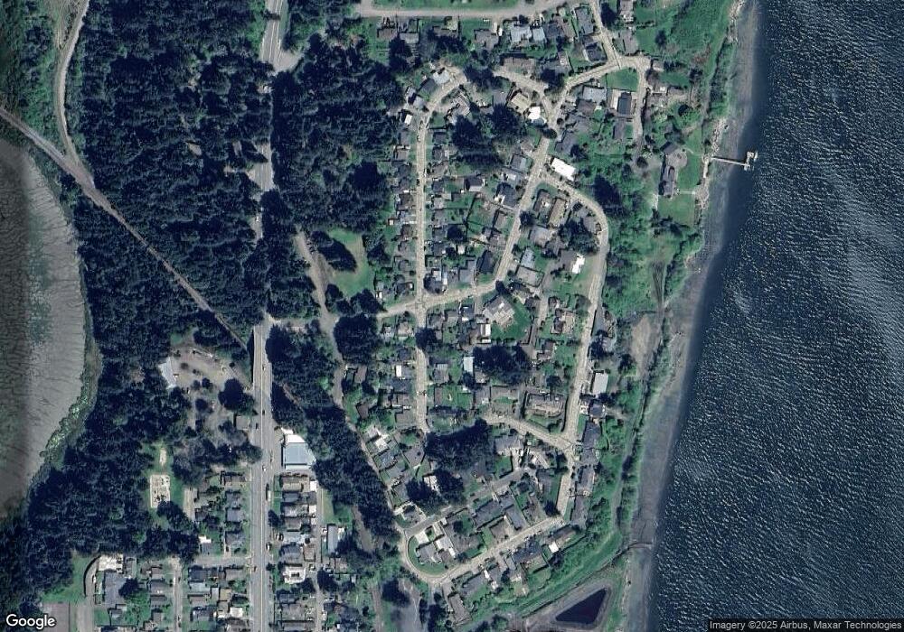
Map
Nearby Homes
- 1368 Bayview St
- 451 Simpson Ave
- 1166 Winsor Ave
- 1524 Sheridan Ave
- 1489 Union Ave
- 1541 Union Ave
- 1508 Union Ave
- 1545 Meade St
- 0 Monroe St
- 1902 Monroe St
- 70298 Highway 101
- 2318 Liberty St
- 0 Oregon Ave
- 790 Oregon Ave
- 1963 Broadway Ave
- 2253 Pony Creek Rd
- 2402 Stephanie Ln
- 2453 Stephanie Ln
- 2495 Chester St
- 2517 Liberty St
- 415 Simpson Ave
- 421 Simpson Ave
- 1217 Winsor Ave
- 407 Simpson Ave
- 1223 Winsor Ave
- 416 Simpson Ave
- 425 Simpson Ave
- 414 Simpson Ave
- 420 Simpson Ave
- 406 Simpson Ave
- 403 Simpson Ave
- 1216 Winsor Ave
- 1216 Winsor Ave
- 1265 Winsor Ave
- 1220 Winsor Ave
- 428 Simpson Ave
- 1233 Winsor Ave
- 402 Simpson Ave Unit 198
- 402 Simpson Ave
- 1115 Winsor Ave
Your Personal Tour Guide
Ask me questions while you tour the home.