418 Moore Rd Newnan, GA 30263
Estimated Value: $294,871 - $332,000
3
Beds
2
Baths
1,808
Sq Ft
$172/Sq Ft
Est. Value
About This Home
This home is located at 418 Moore Rd, Newnan, GA 30263 and is currently estimated at $311,718, approximately $172 per square foot. 418 Moore Rd is a home located in Coweta County with nearby schools including Poplar Road Elementary School, East Coweta Middle School, and East Coweta High School.
Ownership History
Date
Name
Owned For
Owner Type
Purchase Details
Closed on
Aug 20, 1998
Sold by
Listing Wayne A and Listing Dana K
Bought by
Mcteva Scott
Current Estimated Value
Home Financials for this Owner
Home Financials are based on the most recent Mortgage that was taken out on this home.
Original Mortgage
$64,000
Outstanding Balance
$12,995
Interest Rate
6.91%
Mortgage Type
New Conventional
Estimated Equity
$298,723
Purchase Details
Closed on
Oct 17, 1996
Bought by
Listing Wayne A and Listing Da
Purchase Details
Closed on
May 7, 1996
Sold by
Norwest Mortgage
Bought by
Hud
Purchase Details
Closed on
Jul 13, 1995
Sold by
Brinks Lloyd
Bought by
Morris Jeffrey
Create a Home Valuation Report for This Property
The Home Valuation Report is an in-depth analysis detailing your home's value as well as a comparison with similar homes in the area
Home Values in the Area
Average Home Value in this Area
Purchase History
| Date | Buyer | Sale Price | Title Company |
|---|---|---|---|
| Mcteva Scott | $80,000 | -- | |
| Listing Wayne A | $52,000 | -- | |
| Hud | -- | -- | |
| Norwest Mortgage | $66,000 | -- | |
| Norwest Mortgage Inc | $65,100 | -- | |
| Morris Jeffrey | $62,000 | -- |
Source: Public Records
Mortgage History
| Date | Status | Borrower | Loan Amount |
|---|---|---|---|
| Open | Mcteva Scott | $64,000 | |
| Closed | Morris Jeffrey | $0 |
Source: Public Records
Tax History
| Year | Tax Paid | Tax Assessment Tax Assessment Total Assessment is a certain percentage of the fair market value that is determined by local assessors to be the total taxable value of land and additions on the property. | Land | Improvement |
|---|---|---|---|---|
| 2025 | $2,092 | $95,510 | $21,165 | $74,344 |
| 2024 | $1,975 | $89,674 | $11,452 | $78,222 |
| 2023 | $1,975 | $101,283 | $18,386 | $82,898 |
Source: Public Records
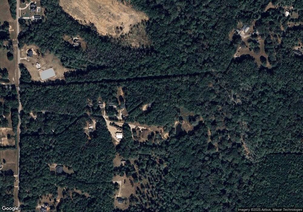
Map
Nearby Homes
- 465 Little Rd
- 147 Little Rd
- 118 Cherokee Farms Dr
- 0 Cannon Rd Unit 7627017
- 0 Cannon Rd Unit 10566028
- 967 Tope Rd
- 185 Lowell Dr
- 149 Raymond Carson St
- 117 Brinley Dr
- 69 Oakhurst Trail
- 215 Grey Fairs Ave
- 92 Gordon Oaks Way
- 158 Gordon Oaks Way
- 157 Ryeland Dr
- 0 Neely Rd Unit 10691613
- 0 Neely Rd Unit 26337716
- 14 Pond Oak Way
- 63 Whites Pond Rd
- 565 Timberbrook Dr
- 455 Timberbrook Dr
Your Personal Tour Guide
Ask me questions while you tour the home.