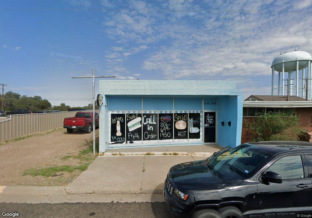
419 E 10th St Borger, TX 79007
Studio
1
Bath
1,075
Sq Ft
5,009
Sq Ft Lot
About This Home
This home is located at 419 E 10th St, Borger, TX 79007. 419 E 10th St is a home located in Hutchinson County with nearby schools including Paul Belton Elementary School, Crockett Elementary School, and Gateway Elementary School.
Ownership History
Date
Name
Owned For
Owner Type
Purchase Details
Closed on
Aug 27, 2025
Sold by
Hk Reo Llc
Bought by
Pfs Reo Llc
Purchase Details
Closed on
Nov 3, 2023
Sold by
Fgms Holdings Llc
Bought by
Hk Reo Llc
Home Financials for this Owner
Home Financials are based on the most recent Mortgage that was taken out on this home.
Original Mortgage
$2,500,000
Interest Rate
7.22%
Mortgage Type
Credit Line Revolving
Purchase Details
Closed on
Jul 8, 2009
Sold by
Carson Tom and Carson Paige
Bought by
Baker Carmon
Home Financials for this Owner
Home Financials are based on the most recent Mortgage that was taken out on this home.
Original Mortgage
$14,000
Interest Rate
4.97%
Mortgage Type
Commercial
Create a Home Valuation Report for This Property
The Home Valuation Report is an in-depth analysis detailing your home's value as well as a comparison with similar homes in the area
Purchase History
| Date | Buyer | Sale Price | Title Company |
|---|---|---|---|
| Pfs Reo Llc | -- | None Listed On Document | |
| Hk Reo Llc | -- | Kane Title | |
| Baker Carmon | -- | None Available |
Source: Public Records
Mortgage History
| Date | Status | Borrower | Loan Amount |
|---|---|---|---|
| Previous Owner | Hk Reo Llc | $2,500,000 | |
| Previous Owner | Baker Carmon | $14,000 |
Source: Public Records
Tax History
| Year | Tax Paid | Tax Assessment Tax Assessment Total Assessment is a certain percentage of the fair market value that is determined by local assessors to be the total taxable value of land and additions on the property. | Land | Improvement |
|---|---|---|---|---|
| 2025 | $618 | $25,210 | $5,000 | $20,210 |
| 2024 | $665 | $25,210 | $5,000 | $20,210 |
| 2023 | $654 | $25,210 | $5,000 | $20,210 |
| 2022 | $720 | $25,210 | $5,000 | $20,210 |
| 2021 | $790 | $25,210 | $5,000 | $20,210 |
| 2020 | $801 | $25,210 | $5,000 | $20,210 |
| 2019 | $810 | $25,210 | $5,000 | $20,210 |
| 2018 | $801 | $25,210 | $5,000 | $20,210 |
| 2017 | $757 | $25,210 | $5,000 | $20,210 |
| 2016 | $1,253 | $41,710 | $5,000 | $36,710 |
| 2015 | -- | $28,860 | $5,000 | $23,860 |
| 2014 | -- | $25,020 | $5,000 | $20,020 |
Source: Public Records
Map
Nearby Homes
- 717 Alabama St
- 1301 Yows St
- 703 Alabama St
- 1338 Haggard St
- 607 Alabama St
- 705 Alabama St
- 1403 Baker St
- 607 Mississippi St
- 626 N Hedgecoke St
- 713 Montana St
- 707 Montana St
- 516 N McGee St
- 507 Crockett St
- 1212 Hazelwood St
- 315 N Hedgecoke St
- 1313 Davis St
- 505 N Cedar St
- 904 Elmore St
- 300 N Bryan St
- 1311 Cooley Dr
- 1025 Brain St
- 300 E 10th St
- 601 E E 10th St
- 0 E 10th St
- 601 E 10th St
- 1029 Brain St
- 1038 Brain St
- 1034 Brain St
- 1205 E 11th St
- 832 Whittenburg St
- 825 Brain St
- 1106 Brain St
- 910 N Harvey St
- 826 Whittenburg St
- 831 Whittenburg St
- 1304 Patton Cir
- 824 Whittenburg St
- 825 Whittenburg St
- 1204 Baker St
- 1206 Baker St
Your Personal Tour Guide
Ask me questions while you tour the home.