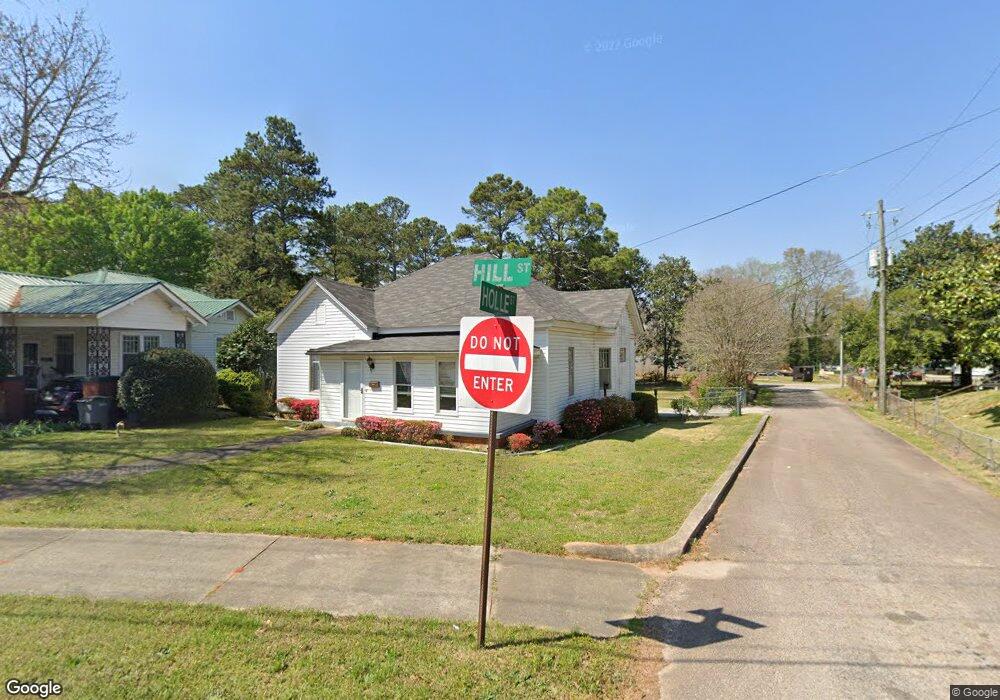
419 Hill St Unit B Lagrange, GA 30241
Estimated Value: $107,000 - $155,312
1
Bed
1
Bath
1,930
Sq Ft
$70/Sq Ft
Est. Value
About This Home
This home is located at 419 Hill St Unit B, Lagrange, GA 30241 and is currently estimated at $134,328, approximately $69 per square foot. 419 Hill St Unit B is a home located in Troup County with nearby schools including Franklin Forest Elementary School, Hollis Hand Elementary School, and Ethel W. Kight Elementary School.
Ownership History
Date
Name
Owned For
Owner Type
Purchase Details
Closed on
Oct 21, 2021
Sold by
Diee Robert
Bought by
Hatfield Christopher Russell
Current Estimated Value
Purchase Details
Closed on
Aug 2, 2018
Sold by
Williams Mary
Bought by
Diee Robert and Hatfield Christopher Russell
Purchase Details
Closed on
Sep 5, 1997
Sold by
Jas Rhomasson and Jas R
Bought by
Williams Mary
Purchase Details
Closed on
Sep 1, 1979
Sold by
J Sutherin Est J
Bought by
Jas Rhomasson and Jas R
Purchase Details
Closed on
Jan 1, 1917
Bought by
J Sutherin Est J
Create a Home Valuation Report for This Property
The Home Valuation Report is an in-depth analysis detailing your home's value as well as a comparison with similar homes in the area
Purchase History
| Date | Buyer | Sale Price | Title Company |
|---|---|---|---|
| Hatfield Christopher Russell | -- | -- | |
| Diee Robert | $50,000 | -- | |
| Williams Mary | $24,500 | -- | |
| Jas Rhomasson | $16,000 | -- | |
| J Sutherin Est J | -- | -- |
Source: Public Records
Tax History
| Year | Tax Paid | Tax Assessment Tax Assessment Total Assessment is a certain percentage of the fair market value that is determined by local assessors to be the total taxable value of land and additions on the property. | Land | Improvement |
|---|---|---|---|---|
| 2025 | $1,428 | $52,360 | $4,120 | $48,240 |
| 2024 | $1,317 | $48,280 | $4,120 | $44,160 |
| 2023 | $1,118 | $41,000 | $4,120 | $36,880 |
| 2022 | $1,061 | $38,000 | $4,120 | $33,880 |
| 2021 | $727 | $24,120 | $4,120 | $20,000 |
| 2020 | $727 | $24,120 | $4,120 | $20,000 |
| 2019 | $472 | $15,640 | $3,600 | $12,040 |
| 2018 | $472 | $15,640 | $3,600 | $12,040 |
| 2017 | $171 | $15,640 | $3,600 | $12,040 |
| 2016 | $170 | $15,584 | $3,600 | $11,984 |
| 2015 | $187 | $16,120 | $4,135 | $11,984 |
| 2014 | $167 | $15,488 | $4,135 | $11,353 |
| 2013 | -- | $16,563 | $4,135 | $12,428 |
Source: Public Records
Map
Nearby Homes
- 131 Foch St
- 121 de Groat St
- 706 N Harlem Cir
- 622 Arthur St
- 801 Hines St
- 301 E Bacon St
- 803 1/2 Hines St
- 228 E Render St
- 208 Render St
- 0 Ridley Ave Unit 10550104
- 609 Ridley Ave
- 707 Ridley Ave
- 611 Ridley Ave
- 615 Ridley Ave
- 709 Ridley Ave
- LOT 58 Belk St
- 119 Belk St
- LOT 65 Belk St
- LOT 66 Belk St
- 324 Park Hill Dr
Your Personal Tour Guide
Ask me questions while you tour the home.