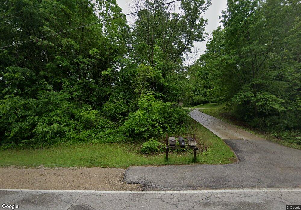
4193 Sherman Rd Slinger, WI 53086
Estimated Value: $651,000 - $698,814
About This Home
This home is located at 4193 Sherman Rd, Slinger, WI 53086 and is currently estimated at $679,954. 4193 Sherman Rd is a home located in Washington County with nearby schools including Slinger High School and St Peter Elementary School.
Ownership History
We collect this data history from publicly available records. To have your information removed, we recommend requesting removal directly through your county’s website.
Purchase Details
Home Financials for this Owner
Home Financials are based on the most recent Mortgage that was taken out on this home.Purchase Details
Home Values in the Area
Average Home Value in this Area
Purchase History
We collect this data history from publicly available records. To have your information removed, we recommend requesting removal directly through your county’s website.
| Date | Buyer | Sale Price | Title Company |
|---|---|---|---|
| $349,900 | None Available | ||
| -- | None Available |
Mortgage History
We collect this data history from publicly available records. To have your information removed, we recommend requesting removal directly through your county’s website.
| Date | Status | Borrower | Loan Amount |
|---|---|---|---|
| Open | $332,405 |
Tax History
We collect this data history from publicly available records. To have your information removed, we recommend requesting removal directly through your county’s website.
| Year | Tax Paid | Tax Assessment Tax Assessment Total Assessment is a certain percentage of the fair market value that is determined by local assessors to be the total taxable value of land and additions on the property. | Land | Improvement |
|---|---|---|---|---|
| 2025 | $4,524 | $565,100 | $126,700 | $438,400 |
| 2024 | $4,443 | $565,100 | $126,700 | $438,400 |
| 2023 | $4,042 | $565,100 | $126,700 | $438,400 |
| 2022 | $4,040 | $404,400 | $103,400 | $301,000 |
| 2021 | $4,031 | $404,400 | $103,400 | $301,000 |
| 2020 | $3,991 | $395,800 | $103,400 | $292,400 |
| 2019 | $3,912 | $395,800 | $103,400 | $292,400 |
| 2018 | $3,857 | $362,000 | $98,400 | $263,600 |
| 2017 | $3,967 | $362,000 | $98,400 | $263,600 |
| 2016 | $3,949 | $362,000 | $98,400 | $263,600 |
| 2015 | $3,827 | $347,200 | $95,700 | $251,500 |
| 2014 | $3,827 | $347,100 | $93,100 | $254,000 |
| 2013 | $4,098 | $353,200 | $103,600 | $249,600 |
Map
- 3491 Cumberland Trail
- 3455 Birnamwood Dr
- 3790 Sherman Rd
- 2456 Boulder Dr
- 1812 Horseshoe Ln Unit 424-2
- 1872 Woodland Way Unit 433-2
- 1878 Woodland Way Unit 433-4
- 2470 Boulder Dr
- Lt62 Boulder Dr
- Lt84 Boulder Dr
- Lt60 Boulder Dr
- Lt86 Boulder Dr
- Lt58 Boulder Dr
- Lt92 Boulder Dr
- Lt77 Boulder Dr
- Lt90 Boulder Dr
- Lt88 Boulder Dr
- Lt74 Boulder Dr
- 1881 Woodland Way Unit 420-1
- 1792 Horseshoe Ln Unit 425-2
- 4240 Sherman Rd
- 4200 Sherman Rd
- 4229 Sherman Rd
- 4198 Sherman Rd
- 4174 Sherman Rd
- 4137 Sherman Rd
- 3360 Moraine Valley Dr
- 3350 Moraine Valley Dr
- Lt2 Sherman Rd
- 19.5 ac Sherman Rd
- 25.64 ac Sherman Rd
- 0 Sherman Rd
- 4111 Sherman Rd
- 175 W State St
- 175 W State St
- 175 W State St
- 175 W State St
- 175 W State St
- 175 W State St
- 175 W State St
Ask me questions while you tour the home.