4195 Pea Ridge Rd Morganton, NC 28655
Upper Creek AreaEstimated Value: $234,070 - $321,000
About This Home
This home is located at 4195 Pea Ridge Rd, Morganton, NC 28655 and is currently estimated at $290,690, approximately $908 per square foot. 4195 Pea Ridge Rd is a home with nearby schools including Oak Hill Elementary School, Table Rock Middle School, and Freedom High School.
Ownership History
We collect this data history from publicly available records. To have your information removed, we recommend requesting removal directly through your county’s website.
Purchase Details
Home Financials for this Owner
Home Financials are based on the most recent Mortgage that was taken out on this home.Home Values in the Area
Average Home Value in this Area
Purchase History
We collect this data history from publicly available records. To have your information removed, we recommend requesting removal directly through your county’s website.
| Date | Buyer | Sale Price | Title Company |
|---|---|---|---|
| $36,000 | None Available |
Mortgage History
We collect this data history from publicly available records. To have your information removed, we recommend requesting removal directly through your county’s website.
| Date | Status | Borrower | Loan Amount |
|---|---|---|---|
| Closed | $23,000 | ||
| Closed | $40,000 |
Tax History
We collect this data history from publicly available records. To have your information removed, we recommend requesting removal directly through your county’s website.
| Year | Tax Paid | Tax Assessment Tax Assessment Total Assessment is a certain percentage of the fair market value that is determined by local assessors to be the total taxable value of land and additions on the property. | Land | Improvement |
|---|---|---|---|---|
| 2025 | $1,057 | $166,379 | $32,909 | $133,470 |
| 2024 | $1,065 | $166,379 | $32,909 | $133,470 |
| 2023 | $1,043 | $149,145 | $32,909 | $116,236 |
| 2022 | $916 | $106,221 | $32,829 | $73,392 |
| 2021 | $910 | $106,221 | $32,829 | $73,392 |
| 2020 | $906 | $106,221 | $32,829 | $73,392 |
| 2019 | $906 | $106,221 | $32,829 | $73,392 |
| 2018 | $900 | $0 | $0 | $0 |
| 2017 | $898 | $108,934 | $32,829 | $76,105 |
| 2016 | $904 | $108,934 | $32,829 | $76,105 |
| 2015 | $901 | $108,934 | $32,829 | $76,105 |
| 2014 | $899 | $108,934 | $32,829 | $76,105 |
| 2013 | $889 | $108,934 | $32,829 | $76,105 |
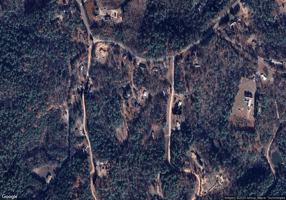
Map
- 4901 Uncle Freds Place
- 2236 Sisue St
- 1060 Hawksbill Dr
- 4082 Hwy 126 Hwy
- 2033 Starlight Ln Unit 111
- 2018 Starlight Ln
- 3680 Grandview Dr
- 3375 Nc 126
- 2063 W Bluewater Dr
- 3666 Grandview Dr
- 3100 E Moonlight Place Unit 42
- 3030 Channel View Cove
- 2455 Whisper Wind Ln
- 4333 Kirby Dr Unit 10,14,4
- 3107 Channel View Cove
- 4322 Kirby Dr
- 2119 South Rd
- 1102 Allman Ridge Rd
- 1386 Southpointe Dr
- 0 Lemon Ln Unit 20
- 4185 Pea Ridge Rd
- 1500 S and B Farm Rd
- 4235 Pea Ridge Rd
- 1491 S and B Farm Rd
- 4151 Pea Ridge Rd Unit 65
- 4263 Pea Ridge Rd
- 1841 Canoe Creek Way
- 4250 Pea Ridge Rd
- 4289 Pea Ridge Rd
- 1955 Lonnie Shuffler St
- 4275 Pea Ridge Rd
- 4071 Pea Ridge Rd
- 4309 Pea Ridge Rd
- 1962 Lonnie Shuffler St
- 0 Canoe Creek Way Unit 19 CAR4015512
- 2655 Whitetail Cove
- 2085 Steamer Ln
- 1840 Deer Trace Trail
- 2175 Twins Ln
- 4357 Pea Ridge Rd
Ask me questions while you tour the home.