42 Beverly Dr Georgetown, MA 01833
Estimated Value: $639,000 - $701,278
4
Beds
2
Baths
1,650
Sq Ft
$408/Sq Ft
Est. Value
About This Home
This home is located at 42 Beverly Dr, Georgetown, MA 01833 and is currently estimated at $673,320, approximately $408 per square foot. 42 Beverly Dr is a home located in Essex County with nearby schools including Perley Elementary School, Penn Brook School, and Georgetown High School.
Ownership History
Date
Name
Owned For
Owner Type
Purchase Details
Closed on
Feb 28, 2017
Sold by
Hartley Michael K and Goldman Harvey
Bought by
Hartley Michael K and Hartley Sara
Current Estimated Value
Home Financials for this Owner
Home Financials are based on the most recent Mortgage that was taken out on this home.
Original Mortgage
$300,100
Outstanding Balance
$248,512
Interest Rate
4.12%
Mortgage Type
New Conventional
Estimated Equity
$424,808
Purchase Details
Closed on
Jun 24, 2010
Sold by
Arriel David C and Arriel Donna L
Bought by
Hartley Michael K and Hartley Sara
Home Financials for this Owner
Home Financials are based on the most recent Mortgage that was taken out on this home.
Original Mortgage
$326,601
Interest Rate
4.98%
Mortgage Type
Purchase Money Mortgage
Purchase Details
Closed on
Jun 8, 1990
Sold by
Lelacheur Seton J
Bought by
Arriel David C
Create a Home Valuation Report for This Property
The Home Valuation Report is an in-depth analysis detailing your home's value as well as a comparison with similar homes in the area
Home Values in the Area
Average Home Value in this Area
Purchase History
We collect this data history from publicly available records. To have your information removed, we recommend requesting removal directly through your county’s website.
| Date | Buyer | Sale Price | Title Company |
|---|---|---|---|
| Hartley Michael K | -- | -- | |
| Hartley Michael K | $331,000 | -- | |
| Arriel David C | $115,000 | -- |
Source: Public Records
Mortgage History
We collect this data history from publicly available records. To have your information removed, we recommend requesting removal directly through your county’s website.
| Date | Status | Borrower | Loan Amount |
|---|---|---|---|
| Open | Hartley Michael K | $300,100 | |
| Previous Owner | Arriel David C | $326,601 | |
| Previous Owner | Arriel David C | $35,000 |
Source: Public Records
Tax History
| Year | Tax Paid | Tax Assessment Tax Assessment Total Assessment is a certain percentage of the fair market value that is determined by local assessors to be the total taxable value of land and additions on the property. | Land | Improvement |
|---|---|---|---|---|
| 2025 | $7,146 | $646,100 | $293,100 | $353,000 |
| 2024 | $6,601 | $526,000 | $202,400 | $323,600 |
| 2023 | $6,300 | $485,400 | $202,400 | $283,000 |
| 2022 | $6,378 | $453,000 | $176,000 | $277,000 |
| 2021 | $5,906 | $371,700 | $176,000 | $195,700 |
| 2020 | $5,917 | $371,700 | $176,000 | $195,700 |
| 2019 | $5,813 | $368,400 | $172,700 | $195,700 |
| 2018 | $5,850 | $368,400 | $172,700 | $195,700 |
| 2017 | $5,742 | $354,200 | $172,700 | $181,500 |
| 2016 | $5,177 | $326,200 | $157,100 | $169,100 |
| 2015 | $5,067 | $316,100 | $157,100 | $159,000 |
| 2014 | $4,441 | $316,100 | $157,100 | $159,000 |
Source: Public Records
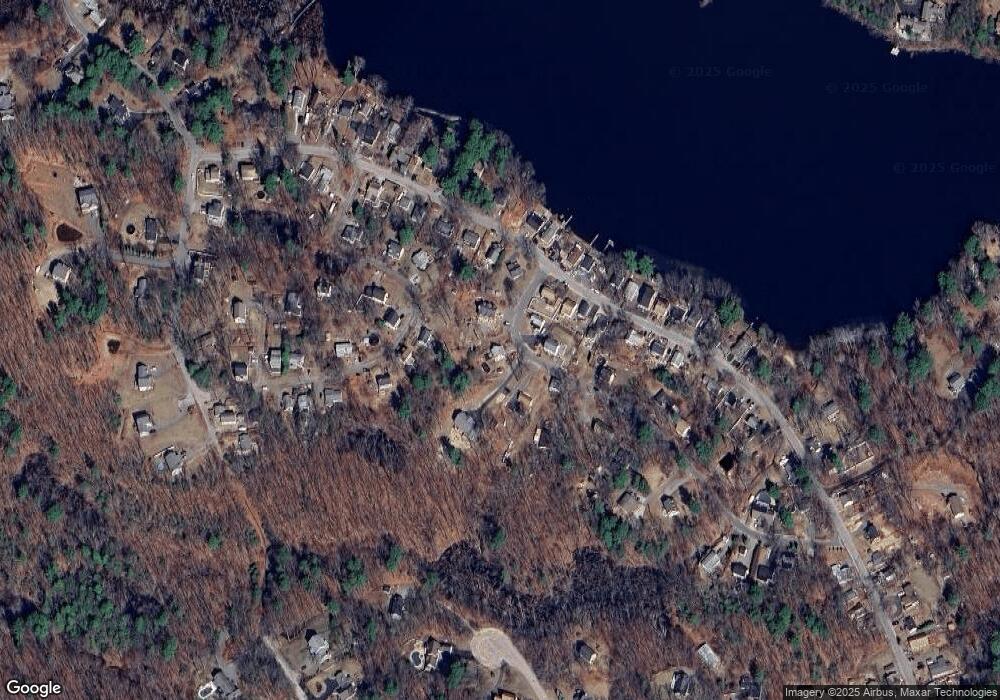
Map
Nearby Homes
- 105 Lakeshore Dr
- 206 W Main St Unit 9
- 206 W Main St Unit 4
- 206 W Main St Unit 8
- 22 Nelson Ave
- 85 W Main St
- 287 Andover St
- 20 Baldpate Rd
- 51 W Main St Unit 6
- 37 E Main St
- 41 Baldpate Rd
- 83 Mill St
- 261 School St
- 38 Brook St
- 18 Stonebridge Rd
- 47 Uptack Rd
- 196 Center St
- 106 Spofford Rd
- 7 Byfield Rd
- 1305 Alyssa Dr
- 40 Beverly Dr Unit B
- 40 Beverly Dr Unit A
- 38 Beverly Dr
- 34 Beverly Dr
- 15 Mohawk Cir
- 11 Mohawk Cir
- 46 Beverly Dr
- 19 Mohawk Cir
- 41 Beverly Dr
- 39 Beverly Dr
- 18 Mohawk Cir
- 28 Beverly Dr
- 9 Mohawk Cir
- 114 Lakeshore Dr
- 112 Lakeshore Dr
- 24 Beverly Dr
- 10 Mohawk Cir
- 116 Lakeshore Dr
- 110 Lakeshore Dr
- 31 Beverly Dr
Your Personal Tour Guide
Ask me questions while you tour the home.