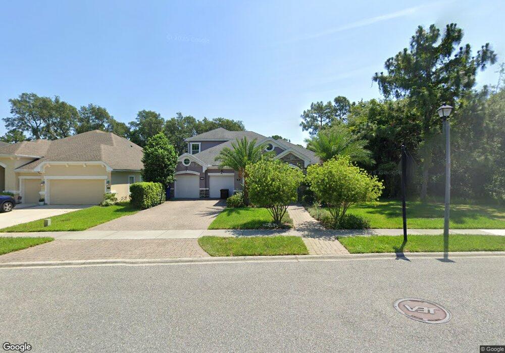
42 Carrier Dr Ponte Vedra, FL 32081
Estimated Value: $701,000 - $764,000
5
Beds
3
Baths
2,873
Sq Ft
$256/Sq Ft
Est. Value
About This Home
This home is located at 42 Carrier Dr, Ponte Vedra, FL 32081 and is currently estimated at $735,005, approximately $255 per square foot. 42 Carrier Dr is a home located in St. Johns County with nearby schools including Valley Ridge Academy and Allen D. Nease Senior High School.
Ownership History
Date
Name
Owned For
Owner Type
Purchase Details
Closed on
Aug 8, 2012
Sold by
Mattamy Jacksonville Partnership
Bought by
Buck Adam Joseph and Buck Shawna D
Current Estimated Value
Home Financials for this Owner
Home Financials are based on the most recent Mortgage that was taken out on this home.
Original Mortgage
$357,525
Outstanding Balance
$241,207
Interest Rate
3.65%
Mortgage Type
VA
Estimated Equity
$493,798
Purchase Details
Closed on
Sep 22, 2011
Sold by
Sandy Ridge North Llc
Bought by
Mattamy Jacksonville Partnership
Create a Home Valuation Report for This Property
The Home Valuation Report is an in-depth analysis detailing your home's value as well as a comparison with similar homes in the area
Home Values in the Area
Average Home Value in this Area
Purchase History
| Date | Buyer | Sale Price | Title Company |
|---|---|---|---|
| Buck Adam Joseph | $350,000 | Sheffield & Boatright Title | |
| Mattamy Jacksonville Partnership | $63,000 | Attorney |
Source: Public Records
Mortgage History
| Date | Status | Borrower | Loan Amount |
|---|---|---|---|
| Open | Buck Adam Joseph | $357,525 |
Source: Public Records
Tax History
| Year | Tax Paid | Tax Assessment Tax Assessment Total Assessment is a certain percentage of the fair market value that is determined by local assessors to be the total taxable value of land and additions on the property. | Land | Improvement |
|---|---|---|---|---|
| 2026 | $7,669 | $434,245 | -- | -- |
| 2025 | $5,839 | $422,829 | -- | -- |
| 2024 | $5,839 | $410,913 | -- | -- |
| 2023 | $5,839 | $314,265 | $0 | $0 |
| 2022 | $5,733 | $305,112 | $0 | $0 |
| 2021 | $5,710 | $296,225 | $0 | $0 |
| 2020 | $5,698 | $292,135 | $0 | $0 |
| 2019 | $5,766 | $285,567 | $0 | $0 |
| 2018 | $5,660 | $280,242 | $0 | $0 |
| 2017 | $5,707 | $274,478 | $0 | $0 |
| 2016 | $5,708 | $276,898 | $0 | $0 |
| 2015 | $5,763 | $274,973 | $0 | $0 |
| 2014 | $5,776 | $272,790 | $0 | $0 |
Source: Public Records
Map
Nearby Homes
- 64 Carrier Dr
- 247 Howland Dr
- 165 Citrus Ridge Dr
- 180 Taylor Ridge Ave
- 157 Taylor Ridge Ave
- 197 Greenleaf Lakes Ave
- 228 Spring Park Ave
- 103 Skylar Ln
- 237 Spring Park Ave
- 269 Brookline Trail
- 228 Cameron Dr
- 383 Citrus Ridge Dr
- 632 Howland Dr
- 411 Citrus Ridge Dr
- 66 Prospect Ln
- 131 Big Pine Ln
- 123 Big Pine Ln
- 119 Big Pine Ln
- 127 Big Pine Ln
- 115 Big Pine Ln
- 52 Carrier Dr
- 74 Carrier Dr
- 82 Carrier Dr
- 13 Windstone Ln
- 23 Windstone Ln
- 92 Carrier Dr
- 33 Windstone Ln
- 102 Carrier Dr
- 43 Windstone Ln
- 18 Ct
- 51 Windstone Ln
- 20 Windstone Ln
- 257 Greenleaf Dr
- 112 Carrier Dr
- 242 Greenleaf Dr Unit 162
- 32 Windstone Ln
- 59 Windstone Ln
- 122 Carrier Dr
- 230 Greenleaf Dr
- 42 Windstone Ln
Your Personal Tour Guide
Ask me questions while you tour the home.