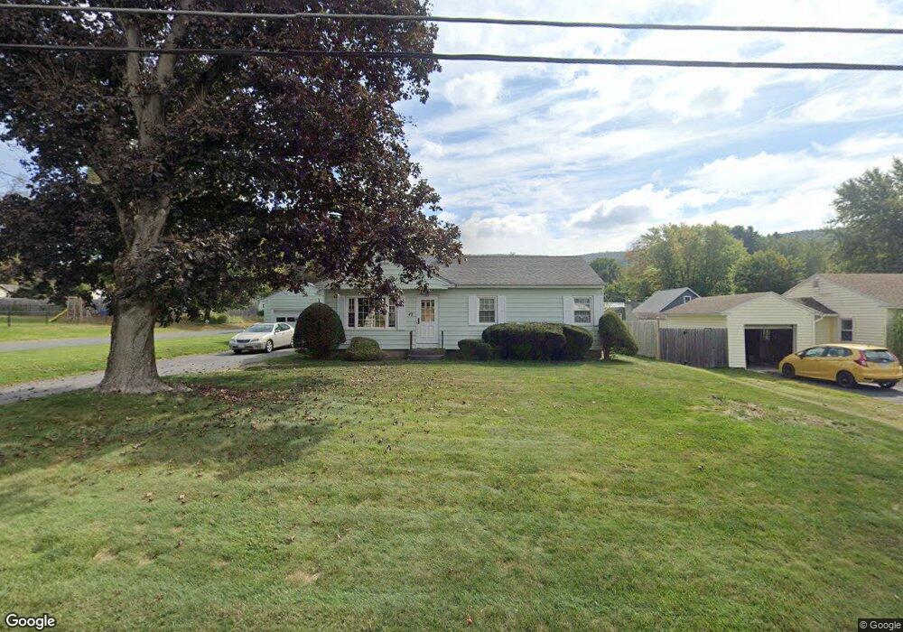
42 Dalton Division Rd Dalton, MA 01226
Estimated Value: $277,000 - $334,000
3
Beds
1
Bath
1,025
Sq Ft
$291/Sq Ft
Est. Value
About This Home
This home is located at 42 Dalton Division Rd, Dalton, MA 01226 and is currently estimated at $298,267, approximately $290 per square foot. 42 Dalton Division Rd is a home located in Berkshire County with nearby schools including Wahconah Regional High School, St. Agnes Academy, and Branches School of the Berkshires.
Ownership History
Date
Name
Owned For
Owner Type
Purchase Details
Closed on
Jul 11, 2007
Sold by
Cowdrey Glen James and Cowdrey Terry Curtis
Bought by
Maston Dennis M and Maston Lisa A
Current Estimated Value
Home Financials for this Owner
Home Financials are based on the most recent Mortgage that was taken out on this home.
Original Mortgage
$156,170
Outstanding Balance
$96,590
Interest Rate
6.48%
Mortgage Type
Purchase Money Mortgage
Estimated Equity
$201,677
Create a Home Valuation Report for This Property
The Home Valuation Report is an in-depth analysis detailing your home's value as well as a comparison with similar homes in the area
Home Values in the Area
Average Home Value in this Area
Purchase History
| Date | Buyer | Sale Price | Title Company |
|---|---|---|---|
| Maston Dennis M | $161,000 | -- | |
| Maston Dennis M | $161,000 | -- |
Source: Public Records
Mortgage History
| Date | Status | Borrower | Loan Amount |
|---|---|---|---|
| Open | Maston Dennis M | $156,170 | |
| Closed | Maston Dennis M | $156,170 |
Source: Public Records
Tax History
| Year | Tax Paid | Tax Assessment Tax Assessment Total Assessment is a certain percentage of the fair market value that is determined by local assessors to be the total taxable value of land and additions on the property. | Land | Improvement |
|---|---|---|---|---|
| 2025 | $4,540 | $250,400 | $59,800 | $190,600 |
| 2024 | $4,242 | $233,100 | $54,100 | $179,000 |
| 2023 | $3,621 | $203,300 | $49,300 | $154,000 |
| 2022 | $3,621 | $174,600 | $49,300 | $125,300 |
| 2021 | $3,547 | $164,900 | $45,600 | $119,300 |
| 2020 | $3,220 | $158,700 | $45,600 | $113,100 |
| 2019 | $2,901 | $148,900 | $45,600 | $103,300 |
| 2018 | $2,885 | $144,900 | $45,600 | $99,300 |
| 2017 | $2,879 | $144,900 | $45,600 | $99,300 |
| 2016 | $2,844 | $144,900 | $45,600 | $99,300 |
| 2015 | $2,780 | $142,800 | $45,600 | $97,200 |
Source: Public Records
Map
Nearby Homes
- 55 Dalton Division Rd
- 48 Dalton Division Rd
- 43 Eleanor Rd
- 54 Dalton Division Rd
- 49 Eleanor Rd
- 37 Eleanor Rd
- 196 Dalton Division Rd
- 200 Dalton Division Rd
- 30 Dalton Division Rd
- 55 Eleanor Rd
- 192 Dalton Division Rd
- 60 Dalton Division Rd
- 208 Dalton Division Rd
- 31 Eleanor Rd
- 61 Eleanor Rd
- 24 Dalton Division Rd
- 182 Dalton Division Rd
- 216 Dalton Division Rd
- 25 Eleanor Rd
- 20 Greenridge Dr
Your Personal Tour Guide
Ask me questions while you tour the home.