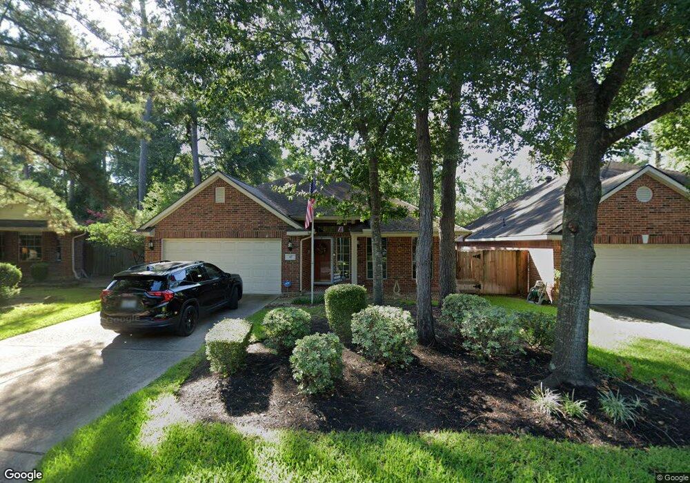
42 N Auburn Path Dr Spring, TX 77382
Alden Bridge NeighborhoodEstimated Value: $386,513 - $440,000
Studio
2
Baths
1,997
Sq Ft
$210/Sq Ft
Est. Value
About This Home
This home is located at 42 N Auburn Path Dr, Spring, TX 77382 and is currently estimated at $418,878, approximately $209 per square foot. 42 N Auburn Path Dr is a home located in Montgomery County with nearby schools including Buckalew Elementary School, Mitchell Intermediate School, and McCullough Junior High School.
Ownership History
Date
Name
Owned For
Owner Type
Purchase Details
Closed on
Oct 19, 1998
Sold by
The Ryland Group Inc
Bought by
Fleischmann Nicholas W and Fleischmann Ann E
Current Estimated Value
Home Financials for this Owner
Home Financials are based on the most recent Mortgage that was taken out on this home.
Original Mortgage
$106,250
Interest Rate
6.73%
Create a Home Valuation Report for This Property
The Home Valuation Report is an in-depth analysis detailing your home's value as well as a comparison with similar homes in the area
Home Values in the Area
Average Home Value in this Area
Purchase History
| Date | Buyer | Sale Price | Title Company |
|---|---|---|---|
| Fleischmann Nicholas W | -- | Cornerstone Title Co |
Source: Public Records
Mortgage History
| Date | Status | Borrower | Loan Amount |
|---|---|---|---|
| Closed | Fleischmann Nicholas W | $106,250 |
Source: Public Records
Tax History
| Year | Tax Paid | Tax Assessment Tax Assessment Total Assessment is a certain percentage of the fair market value that is determined by local assessors to be the total taxable value of land and additions on the property. | Land | Improvement |
|---|---|---|---|---|
| 2025 | $1,546 | $365,226 | -- | -- |
| 2024 | $1,546 | $332,024 | -- | -- |
| 2023 | $1,472 | $301,840 | $50,000 | $300,730 |
| 2022 | $5,562 | $274,400 | $50,000 | $256,220 |
| 2021 | $5,441 | $249,450 | $32,410 | $217,040 |
| 2020 | $6,117 | $264,450 | $32,410 | $234,100 |
| 2019 | $5,738 | $240,410 | $32,410 | $208,000 |
| 2018 | $4,289 | $232,190 | $32,410 | $199,780 |
| 2017 | $5,826 | $241,150 | $32,410 | $208,740 |
| 2016 | $5,518 | $228,400 | $32,410 | $199,780 |
| 2015 | $2,832 | $207,640 | $32,410 | $199,780 |
| 2014 | $2,832 | $188,760 | $32,410 | $160,900 |
Source: Public Records
Map
Nearby Homes
- 27 Auburn Path Dr
- 11 Auburn Path Dr
- 59 W Bellmeade Place
- 2 Wintergreen Trail
- 27 E Bellmeade Place
- 8051 Bay Branch Dr Unit 232
- 43 N Belfair Place
- 150 S Walden Elms Cir
- 14 Willow Point Place
- 230 S Walden Elms Cir
- 19 Timberstar St
- 19 Long Springs Place
- 7 Cross Lake Dr
- 106 N Walden Elms Cir
- 6 Coachman Ridge Place
- 55 W Pipers Green St
- 70 Harvest Wind Place
- 43 Crocus Petal St
- 211 Arabian Dr
- 10 Pine Island Place
- 38 N Auburn Path Dr
- 46 N Auburn Path Dr
- 30 Orchard Dale Cir
- 34 Orchard Dale Cir
- 50 N Auburn Path Dr
- 26 Orchard Dale Cir
- 54 N Auburn Path Dr
- 39 Auburn Path Dr
- 35 Auburn Path Dr
- 31 Auburn Path Dr
- 43 Auburn Path Dr
- 22 Orchard Dale Cir
- 91 N Auburn Path Dr
- 23 Auburn Path Dr
- 47 Auburn Path Dr
- 18 Orchard Dale Cir
- 79 N Auburn Path Dr
- 70 Wintergreen Trail
- 75 N Auburn Path Dr
- 83 N Auburn Path Dr
Your Personal Tour Guide
Ask me questions while you tour the home.