420 Able Rd Mc Connells, SC 29726
Estimated Value: $446,000 - $510,203
Studio
--
Bath
2,438
Sq Ft
$195/Sq Ft
Est. Value
About This Home
This home is located at 420 Able Rd, Mc Connells, SC 29726 and is currently estimated at $476,301, approximately $195 per square foot. 420 Able Rd is a home located in York County with nearby schools including Jefferson Elementary School, York Intermediate School, and York Middle School.
Ownership History
Date
Name
Owned For
Owner Type
Purchase Details
Closed on
Dec 3, 2020
Sold by
Brown Carolyn Anne
Bought by
Rcm Industries Llc
Current Estimated Value
Purchase Details
Closed on
Dec 20, 2011
Sold by
Brown Barbara T
Bought by
Singh Lakhwinder
Purchase Details
Closed on
Jun 16, 2010
Sold by
Estate Of Franklin Ray Brown Jr
Bought by
Brown Barbara T
Create a Home Valuation Report for This Property
The Home Valuation Report is an in-depth analysis detailing your home's value as well as a comparison with similar homes in the area
Home Values in the Area
Average Home Value in this Area
Purchase History
| Date | Buyer | Sale Price | Title Company |
|---|---|---|---|
| Rcm Industries Llc | $425,000 | None Available | |
| Singh Lakhwinder | $130,000 | -- | |
| Brown Barbara T | -- | -- |
Source: Public Records
Tax History
| Year | Tax Paid | Tax Assessment Tax Assessment Total Assessment is a certain percentage of the fair market value that is determined by local assessors to be the total taxable value of land and additions on the property. | Land | Improvement |
|---|---|---|---|---|
| 2025 | $1,201 | $6,925 | $459 | $6,466 |
| 2024 | $1,015 | $6,024 | $215 | $5,809 |
| 2023 | $1,036 | $6,024 | $215 | $5,809 |
| 2022 | $1,039 | $6,024 | $215 | $5,809 |
| 2021 | -- | $6,024 | $215 | $5,809 |
| 2020 | $1,035 | $6,024 | $0 | $0 |
| 2019 | $938 | $5,241 | $0 | $0 |
| 2018 | $902 | $5,241 | $0 | $0 |
| 2017 | $795 | $4,861 | $0 | $0 |
| 2016 | $784 | $4,861 | $0 | $0 |
| 2014 | $80 | $7,281 | $381 | $6,900 |
| 2013 | $80 | $8,061 | $381 | $7,680 |
Source: Public Records
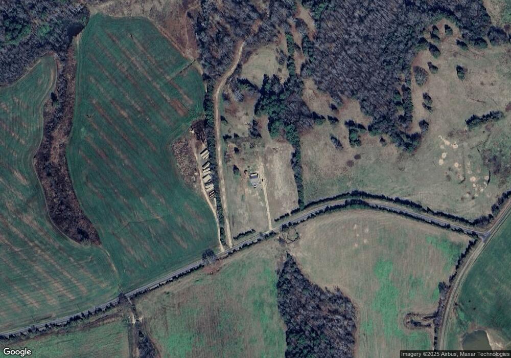
Map
Nearby Homes
- 1405 Mack Dr
- 000 Peacehaven Rd Unit 1
- 000 Peacehaven Rd Unit 2
- 000 Peacehaven Rd Unit 5
- 605 Colony Rd
- 1348 Bryson Creek Dr
- 6115 McConnells Hwy E
- 1302 Bryson Creek Dr
- Peacehaven Rd
- 2423 E Chapel Rd
- 2417 E Chapel Rd
- 2427 E Chapel Rd
- 1951 McConnells Hwy W
- 150 Orindawood Rd
- 5072 Mobley Store Rd
- 5027 Mobley Store Rd
- 5315 McConnells Hwy
- 216 Henson Ln
- 2642 Gradys Ground Dr N
- 6.5 + - Ac Bookout Rd
- 00 Able Rd
- 5220 Chester Hwy
- 5186 Chester Hwy
- 5174 Chester Hwy
- 275 Crooked Pine Rd
- 5 Greenglen Rd
- 160 Bent Pine Dr
- 5156 Chester Hwy
- 1228 Pineswept Dr
- 5146 Chester Hwy
- 6 AC Timbercrest Dr
- 145 Bent Pine Rd
- 1250 Pineswept Dr
- 5272 Chester Hwy
- 5364 Chester Hwy
- 1211 Pineswept Dr
- 5126 Chester Hwy
- 1247 Pineswept Dr
- 5392 Chester Hwy
- Lot1 Mack Dr
Your Personal Tour Guide
Ask me questions while you tour the home.