420 E Pine St Lawnside, NJ 08045
Estimated Value: $263,000 - $279,307
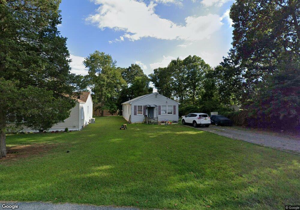
About This Home
This home is located at 420 E Pine St, Lawnside, NJ 08045 and is currently estimated at $274,827, approximately $260 per square foot. 420 E Pine St is a home located in Camden County with nearby schools including Lawnside Public Elementary School.
Ownership History
We collect this data history from publicly available records. To have your information removed, we recommend requesting removal directly through your county’s website.
Purchase Details
Home Financials for this Owner
Home Financials are based on the most recent Mortgage that was taken out on this home.Home Values in the Area
Average Home Value in this Area
Purchase History
We collect this data history from publicly available records. To have your information removed, we recommend requesting removal directly through your county’s website.
| Date | Buyer | Sale Price | Title Company |
|---|---|---|---|
| $95,000 | -- |
Mortgage History
We collect this data history from publicly available records. To have your information removed, we recommend requesting removal directly through your county’s website.
| Date | Status | Borrower | Loan Amount |
|---|---|---|---|
| Open | $92,591 |
Tax History
We collect this data history from publicly available records. To have your information removed, we recommend requesting removal directly through your county’s website.
| Year | Tax Paid | Tax Assessment Tax Assessment Total Assessment is a certain percentage of the fair market value that is determined by local assessors to be the total taxable value of land and additions on the property. | Land | Improvement |
|---|---|---|---|---|
| 2025 | $4,622 | $94,800 | $31,100 | $63,700 |
| 2024 | $4,279 | $94,800 | $31,100 | $63,700 |
| 2023 | $4,279 | $94,800 | $31,100 | $63,700 |
| 2022 | $4,162 | $94,800 | $31,100 | $63,700 |
| 2021 | $4,192 | $94,800 | $31,100 | $63,700 |
| 2020 | $4,016 | $94,800 | $31,100 | $63,700 |
| 2019 | $3,950 | $94,800 | $31,100 | $63,700 |
| 2018 | $3,872 | $94,800 | $31,100 | $63,700 |
| 2017 | $3,807 | $94,800 | $31,100 | $63,700 |
| 2016 | $3,715 | $94,800 | $31,100 | $63,700 |
| 2015 | $3,704 | $94,800 | $31,100 | $63,700 |
| 2014 | $3,642 | $94,800 | $31,100 | $63,700 |
Map
- 315 Ellis Ct
- 354 Garrett Morgan Dr
- 350 Garrett Morgan Dr
- 12 Tylers Ct
- 325 Ashland Ave
- 492 Ellis Ave
- 7 Franklin Cir
- 348 Silk St
- 114 Ebert Ave
- 212 Lotus Ave
- 216 Lotus Ave
- 212 Dobson Ln
- 101 Railroad Blvd
- 176 Centura
- 217 Ashland Ave
- 405 E Evesham Ave
- 123 Ashland Ave
- 406 Burnt Mill Rd
- 109 Burnt Mill Rd
- 245 Ashland Ave
- 424 E Pine St
- 428 E Pine St
- 415 Sadler Ave
- 445 E Pine St
- 416 S Charleston Ave
- 412 S Charleston Ave Unit A
- 412 S Charleston Ave Unit BACK UNIT
- 408 S Charleston Ave
- 510 S Charleston Ave
- 404 S Charleston Ave
- 425 Evesham Ave
- 333 Sadler Ave
- 385 Evesham Ave
- 353 Lions Gate Dr
- 459 E Pine St
- 349 Lions Gate Dr
- 360 Lions Gate Dr
- 400 S Charleston Ave
- 326 Ellis Ct
- 69 Franklin Cir
Ask me questions while you tour the home.