420 Georgesville Rd Columbus, OH 43228
Studio
--
Bath
12,150
Sq Ft
61,855
Sq Ft Lot
About This Home
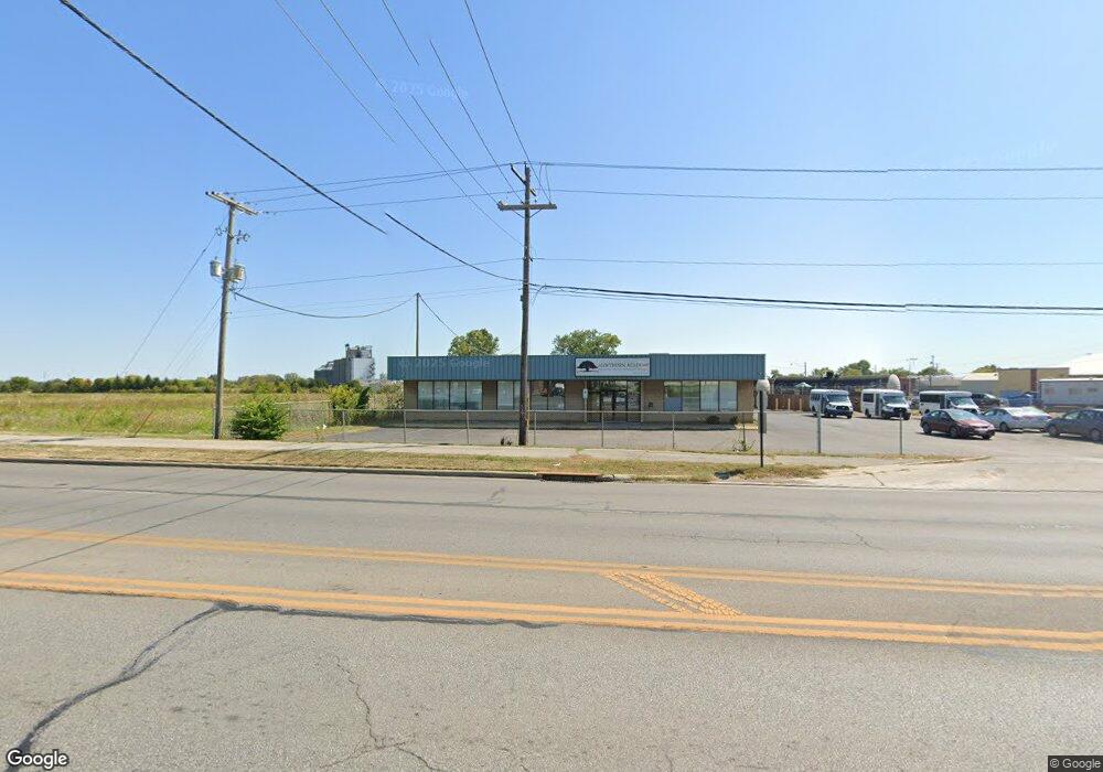
This home is located at 420 Georgesville Rd, Columbus, OH 43228. 420 Georgesville Rd is a home located in Franklin County with nearby schools including Prairie Lincoln Elementary School, Galloway Ridge Intermediate School, and Norton Middle School.
Ownership History
Date
Name
Owned For
Owner Type
Purchase Details
Closed on
Feb 4, 2015
Sold by
Salvation Army
Bought by
Soi Properties 10 Llc
Home Financials for this Owner
Home Financials are based on the most recent Mortgage that was taken out on this home.
Original Mortgage
$350,000
Interest Rate
3.73%
Mortgage Type
Future Advance Clause Open End Mortgage
Purchase Details
Closed on
Mar 13, 1987
Bought by
Salvation Army
Create a Home Valuation Report for This Property
The Home Valuation Report is an in-depth analysis detailing your home's value as well as a comparison with similar homes in the area
Home Values in the Area
Average Home Value in this Area
Purchase History
| Date | Buyer | Sale Price | Title Company |
|---|---|---|---|
| Soi Properties 10 Llc | -- | Talon Title | |
| Salvation Army | $115,000 | -- |
Source: Public Records
Mortgage History
| Date | Status | Borrower | Loan Amount |
|---|---|---|---|
| Previous Owner | Soi Properties 10 Llc | $350,000 |
Source: Public Records
Tax History
| Year | Tax Paid | Tax Assessment Tax Assessment Total Assessment is a certain percentage of the fair market value that is determined by local assessors to be the total taxable value of land and additions on the property. | Land | Improvement |
|---|---|---|---|---|
| 2025 | $15,987 | $253,470 | $75,460 | $178,010 |
| 2024 | $15,987 | $253,470 | $75,460 | $178,010 |
| 2023 | $15,795 | $253,470 | $75,460 | $178,010 |
| 2022 | $15,477 | $220,540 | $55,480 | $165,060 |
| 2021 | $15,930 | $220,540 | $55,480 | $165,060 |
| 2020 | $15,799 | $220,540 | $55,480 | $165,060 |
| 2019 | $16,496 | $210,010 | $52,820 | $157,190 |
| 2018 | $8,272 | $210,010 | $52,820 | $157,190 |
| 2017 | $16,551 | $210,010 | $52,820 | $157,190 |
| 2016 | $15,658 | $189,010 | $52,820 | $136,190 |
| 2015 | -- | $189,010 | $52,820 | $136,190 |
| 2014 | -- | $189,010 | $52,820 | $136,190 |
| 2013 | -- | $189,000 | $52,815 | $136,185 |
Source: Public Records
Map
Nearby Homes
- 4006 Halsey Place
- 689 Georgian Dr
- 793 Crevis Ln
- 4020 Briggs Rd
- 3866 Eakin Rd
- 3851 Fairmoor Rd
- 693 Maurine Dr
- 546 Emmit Ave
- 531 Emmit Ave
- 3860 Briggs Rd
- 299 Lombard Rd
- 3859 Briggs Rd
- 1020 Torrey Hill Dr
- 912 Maurine Dr
- 4743 Stiles Ave
- 4824 Gilhem Ct
- 1000 Hidden Cove Way
- 1093 Harwood Dr
- 1101 Harwood Dr
- 56 Florence Ave
- 411 Georgesville Rd
- 403 Georgesville Rd
- 491 Georgesville Rd
- 4199 Sullivant Ave
- 4187-4189 Sullivant Ave
- 4187 Sullivant Ave Unit 189
- 4187 Sullivant Ave Unit 4189
- 4175 Sullivant Ave
- 425 Industrial Mile Rd
- 4177 Sullivant Ave
- 4177 Sullivant Ave Unit 4175
- 440 Industrial Mile Rd
- 4171 Sullivant Ave Unit 173
- 4171 Sullivant Ave Unit 4173
- 4171-4173 Sullivant Ave
- 4167 Sullivant Ave Unit 4169
- 4169 Sullivant Ave
- 4167-4169 Sullivant Ave
- 4208 Dixie Ct
- 4200 Dixie Ct
Your Personal Tour Guide
Ask me questions while you tour the home.