4200 High Range Ln Edmond, OK 73034
North Edmond NeighborhoodEstimated Value: $659,000 - $790,000
About This Home
This home is located at 4200 High Range Ln, Edmond, OK 73034 and is currently estimated at $725,701, approximately $223 per square foot. 4200 High Range Ln is a home with nearby schools including Centennial Elementary School, Central Middle School, and Memorial High School.
Ownership History
We collect this data history from publicly available records. To have your information removed, we recommend requesting removal directly through your county’s website.
Purchase Details
Home Financials for this Owner
Home Financials are based on the most recent Mortgage that was taken out on this home.Purchase Details
Home Financials for this Owner
Home Financials are based on the most recent Mortgage that was taken out on this home.Purchase Details
Home Financials for this Owner
Home Financials are based on the most recent Mortgage that was taken out on this home.Home Values in the Area
Average Home Value in this Area
Purchase History
We collect this data history from publicly available records. To have your information removed, we recommend requesting removal directly through your county’s website.
| Date | Buyer | Sale Price | Title Company |
|---|---|---|---|
| $469,000 | Stewart Abstract & Title | ||
| $61,500 | American Eagle Title Group | ||
| -- | Stewart Abstract & Title Of | ||
| $61,500 | Stewart Abstract & Title Of |
Mortgage History
We collect this data history from publicly available records. To have your information removed, we recommend requesting removal directly through your county’s website.
| Date | Status | Borrower | Loan Amount |
|---|---|---|---|
| Open | $375,200 | ||
| Previous Owner | $368,800 |
Tax History
We collect this data history from publicly available records. To have your information removed, we recommend requesting removal directly through your county’s website.
| Year | Tax Paid | Tax Assessment Tax Assessment Total Assessment is a certain percentage of the fair market value that is determined by local assessors to be the total taxable value of land and additions on the property. | Land | Improvement |
|---|---|---|---|---|
| 2025 | $6,599 | $65,740 | $10,579 | $55,161 |
| 2023 | $6,355 | $61,966 | $8,187 | $53,779 |
| 2022 | $6,191 | $60,162 | $9,359 | $50,803 |
| 2021 | $5,979 | $58,410 | $9,724 | $48,686 |
| 2020 | $5,889 | $56,870 | $9,724 | $47,146 |
| 2019 | $5,795 | $55,715 | $10,331 | $45,384 |
| 2018 | $5,930 | $56,650 | $0 | $0 |
| 2017 | $5,966 | $57,254 | $10,331 | $46,923 |
| 2016 | $5,628 | $54,174 | $10,331 | $43,843 |
| 2015 | $5,629 | $54,247 | $10,271 | $43,976 |
| 2014 | $5,457 | $52,692 | $10,392 | $42,300 |
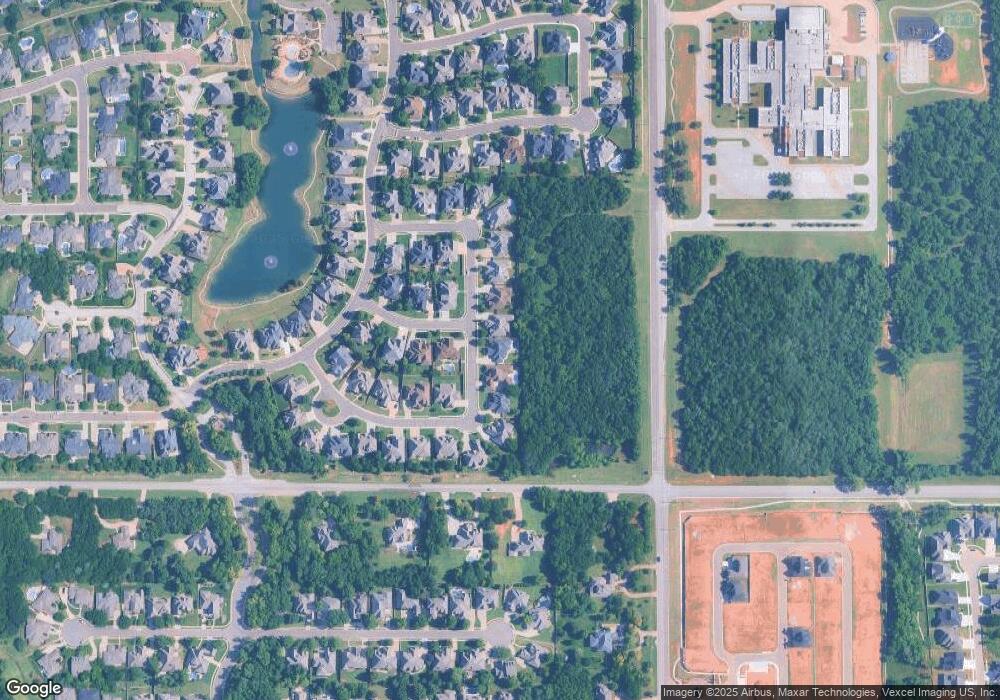
Map
- 2709 Stetson Dr
- 4008 Stone Briar Trail
- 4409 Shorthorn Ln
- 2409 Old Creek Rd
- 2317 Lone Tree Tr
- 2316 Buffalo Pass
- 3932 Shady Hill Trail
- 3924 Shady Hill Trail
- 4517 Roundup Rd
- 3024 Wind Call Ln
- 4624 Roundup Rd
- 3509 Windy Hill Ln
- 3825 Stone Hill Ln
- 4625 Roundup Rd
- 4616 Lake Front Dr
- 3916 Stone Hill Ln
- 2725 Open Range Rd
- 4001 Turning Stone Ln
- 3832 Stone Hill Ln
- 3933 Turning Stone Ln
- 4108 High Range Ln
- 4116 High Range Ln
- 2716 Roaring Fork Trail
- 4124 High Range Ln
- 2708 Roaring Fork Trail
- 2709 Roaring Fork Trail
- 2700 Roaring Fork Trail
- 2701 Roaring Fork Trail
- 2708 Maverick Rd
- 4208 High Range Ln
- 2750 NE 220th St
- 2700 Maverick Rd
- 2640 Roaring Fork Trail
- 2750 E Coffee Creek Rd
- 2700 E Coffee Creek Rd
- 2633 Roaring Fork Trail
- 4216 High Range Ln
- 2632 Roaring Fork Trail
- 2624 Maverick Rd
- 4217 High Range Ln
Ask me questions while you tour the home.