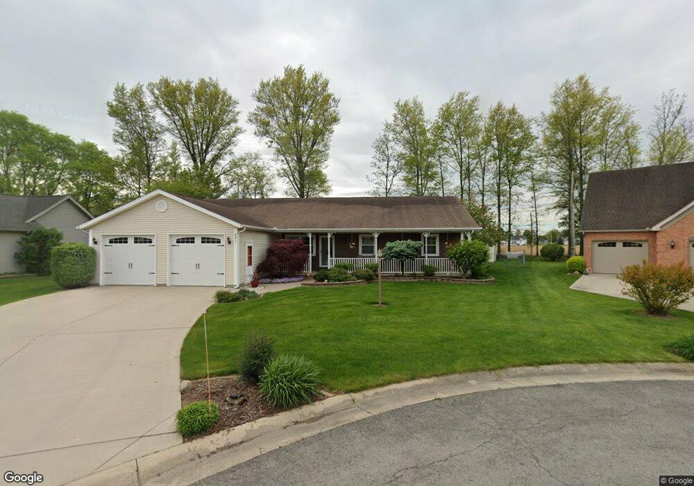
421 Brett Ln Spencerville, OH 45887
Estimated Value: $235,241 - $292,000
3
Beds
2
Baths
2,240
Sq Ft
$121/Sq Ft
Est. Value
About This Home
This home is located at 421 Brett Ln, Spencerville, OH 45887 and is currently estimated at $271,810, approximately $121 per square foot. 421 Brett Ln is a home located in Allen County with nearby schools including Spencerville Elementary School, Spencerville Middle School, and Spencerville High School.
Ownership History
Date
Name
Owned For
Owner Type
Purchase Details
Closed on
Oct 7, 2020
Sold by
Stout Tommy C and Stout Diane E
Bought by
Davis Dawn R
Current Estimated Value
Purchase Details
Closed on
May 24, 2002
Sold by
Windau Christopher M
Bought by
Stout Tommy C and Stout Diane E
Purchase Details
Closed on
May 5, 1997
Sold by
Wolfe J Thomas
Bought by
Windau Christopher and Sturgill Melissa
Create a Home Valuation Report for This Property
The Home Valuation Report is an in-depth analysis detailing your home's value as well as a comparison with similar homes in the area
Purchase History
We collect this data history from publicly available records. To have your information removed, we recommend requesting removal directly through your county’s website.
| Date | Buyer | Sale Price | Title Company |
|---|---|---|---|
| Davis Dawn R | -- | None Available | |
| Stout Tommy C | $144,000 | -- | |
| Windau Christopher | $16,500 | -- |
Source: Public Records
Tax History
| Year | Tax Paid | Tax Assessment Tax Assessment Total Assessment is a certain percentage of the fair market value that is determined by local assessors to be the total taxable value of land and additions on the property. | Land | Improvement |
|---|---|---|---|---|
| 2025 | $2,106 | $74,240 | $9,730 | $64,510 |
| 2024 | $2,124 | $74,240 | $9,730 | $64,510 |
| 2023 | $1,772 | $59,360 | $7,770 | $51,590 |
| 2022 | $1,795 | $59,360 | $7,770 | $51,590 |
| 2021 | $1,789 | $59,360 | $7,770 | $51,590 |
| 2020 | $1,583 | $52,190 | $7,420 | $44,770 |
| 2019 | $1,583 | $52,190 | $7,420 | $44,770 |
| 2018 | $1,610 | $52,190 | $7,420 | $44,770 |
| 2017 | $1,577 | $52,190 | $7,420 | $44,770 |
| 2016 | $1,555 | $52,190 | $7,420 | $44,770 |
| 2015 | $1,558 | $52,190 | $7,420 | $44,770 |
| 2014 | $1,413 | $48,100 | $6,970 | $41,130 |
| 2013 | $1,426 | $48,100 | $6,970 | $41,130 |
Source: Public Records
Map
Nearby Homes
- 429 W 4th St
- 433 W 4th St
- 440 W 4th St
- 305 N Broadway St
- 449 N Main St
- 00 Kleinoeder Rd
- 13355 Kolter Rd
- 547 N Broadway St
- 115 Oakland Ave
- 21302 Masters Rd
- 3000 S Sunderland Rd
- 0 N Conant Rd
- 7570 Fort Amanda Rd
- 3041 Coon Rd
- 15044 Main St
- 00 National Rd
- 17700 Moulton-Ft Amanda Rd
- 105 W Water St
- 1360 Forest Dr
- 2670 S Wapak Rd
Your Personal Tour Guide
Ask me questions while you tour the home.