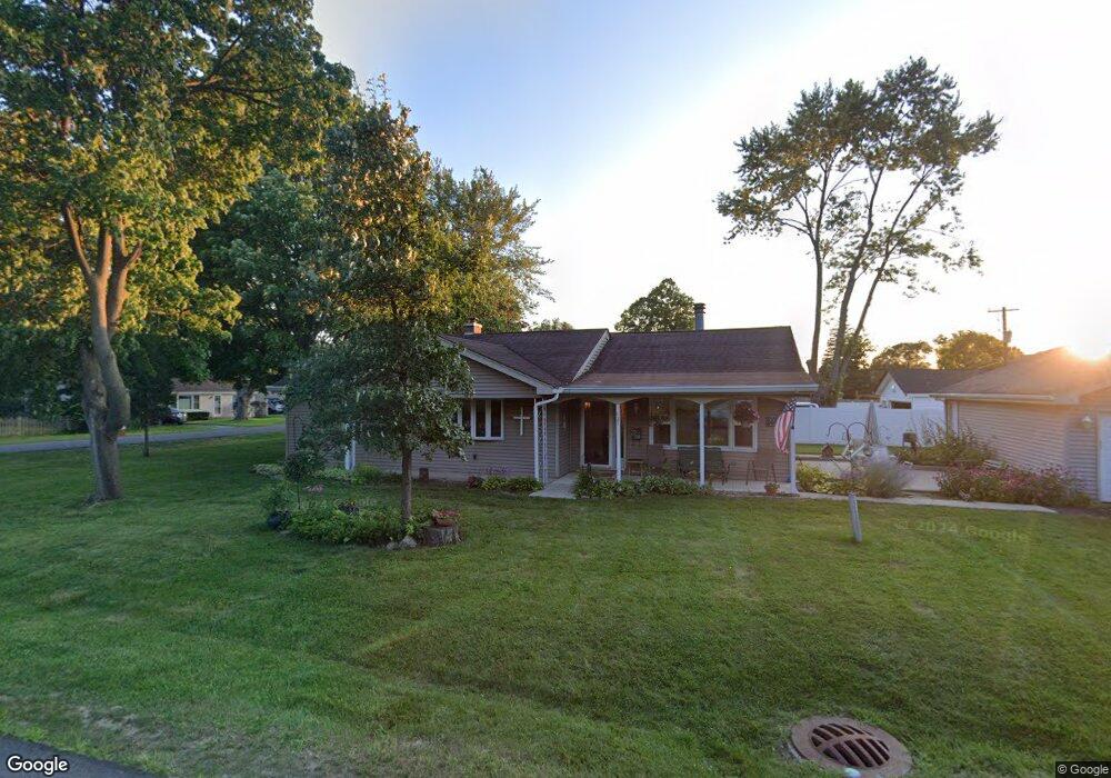
421 Daniel Ave Wauconda, IL 60084
Estimated Value: $299,000 - $358,159
About This Home
This home is located at 421 Daniel Ave, Wauconda, IL 60084 and is currently estimated at $331,540, approximately $201 per square foot. 421 Daniel Ave is a home located in Lake County with nearby schools including Wauconda Grade School, Wauconda Middle School, and Wauconda High School.
Ownership History
We collect this data history from publicly available records. To have your information removed, we recommend requesting removal directly through your county’s website.
Purchase Details
Home Financials for this Owner
Home Financials are based on the most recent Mortgage that was taken out on this home.Home Values in the Area
Average Home Value in this Area
Purchase History
We collect this data history from publicly available records. To have your information removed, we recommend requesting removal directly through your county’s website.
| Date | Buyer | Sale Price | Title Company |
|---|---|---|---|
| $318,000 | Proper Title |
Mortgage History
We collect this data history from publicly available records. To have your information removed, we recommend requesting removal directly through your county’s website.
| Date | Status | Borrower | Loan Amount |
|---|---|---|---|
| Previous Owner | $254,400 |
Tax History
We collect this data history from publicly available records. To have your information removed, we recommend requesting removal directly through your county’s website.
| Year | Tax Paid | Tax Assessment Tax Assessment Total Assessment is a certain percentage of the fair market value that is determined by local assessors to be the total taxable value of land and additions on the property. | Land | Improvement |
|---|---|---|---|---|
| 2025 | $6,512 | $101,477 | $20,979 | $80,498 |
| 2024 | $3,108 | $89,203 | $19,652 | $69,551 |
| 2023 | $6,091 | $66,101 | $14,969 | $51,132 |
| 2022 | $6,091 | $66,819 | $17,138 | $49,681 |
| 2021 | $4,054 | $63,138 | $16,194 | $46,944 |
| 2020 | $4,133 | $60,178 | $15,435 | $44,743 |
| 2019 | $3,847 | $56,873 | $14,587 | $42,286 |
| 2018 | $4,972 | $60,946 | $17,805 | $43,141 |
| 2017 | $5,728 | $60,241 | $17,599 | $42,642 |
| 2016 | $5,337 | $57,047 | $16,666 | $40,381 |
| 2015 | $4,947 | $52,371 | $15,300 | $37,071 |
| 2014 | $4,277 | $48,189 | $17,549 | $30,640 |
| 2012 | $4,333 | $47,629 | $16,791 | $30,838 |
Map
- 214 Minerva Ave
- 506 Old Country Way
- 426 Farmhill Cir
- 335 Farmhill Cir
- 124 Hubbard Ct
- 323 Farmhill Cir
- 641 Clover Rd
- 309 Willow Rd
- 410 Willow Rd
- 700 Larkdale Row
- 285 Regency Court Unit B Ct
- 255 Regency Ct Unit D
- 225 Regency Ct Unit A
- 205 Parkview Dr Unit 19205
- 150 E Mill St
- 211 E Liberty St Unit 4
- 213 E Liberty St Unit 11
- 28331 W Main St
- 689 Laurel Ave
- 27514 N Forest Garden Rd
Ask me questions while you tour the home.