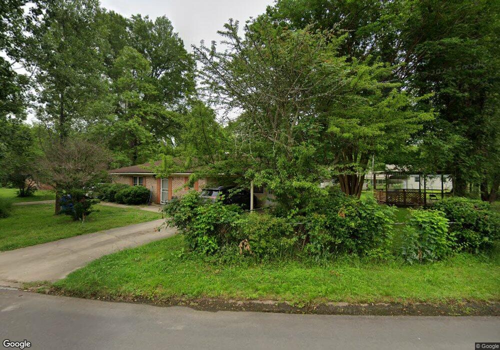
422 Gibson Cir Dermott, AR 71638
Estimated Value: $73,000 - $96,000
Studio
2
Baths
1,756
Sq Ft
$49/Sq Ft
Est. Value
About This Home
This home is located at 422 Gibson Cir, Dermott, AR 71638 and is currently estimated at $85,984, approximately $48 per square foot. 422 Gibson Cir is a home located in Chicot County with nearby schools including Dermott Elementary School and Dermott High School.
Ownership History
Date
Name
Owned For
Owner Type
Purchase Details
Closed on
May 19, 2016
Sold by
Danzie Alfred
Bought by
Danzie Bobbie A and Danzie Alfred
Current Estimated Value
Purchase Details
Closed on
Jun 29, 2001
Bought by
Neal Richard and Neal Bertha M
Purchase Details
Closed on
May 30, 2000
Bought by
First Service Bank F/K/A First
Purchase Details
Closed on
Oct 24, 1997
Bought by
Lemley Jerry L
Purchase Details
Closed on
Dec 1, 1986
Bought by
Lemley Jerry L
Purchase Details
Closed on
Sep 1, 1974
Bought by
Lemley Jerry L
Purchase Details
Closed on
Oct 1, 1968
Bought by
Gibson J F
Create a Home Valuation Report for This Property
The Home Valuation Report is an in-depth analysis detailing your home's value as well as a comparison with similar homes in the area
Home Values in the Area
Average Home Value in this Area
Purchase History
| Date | Buyer | Sale Price | Title Company |
|---|---|---|---|
| Danzie Bobbie A | -- | -- | |
| Neal Richard | $69,000 | -- | |
| First Service Bank F/K/A First | -- | -- | |
| Lemley Jerry L | -- | -- | |
| Lemley Jerry L | -- | -- | |
| Lemley Jerry L | -- | -- | |
| Gibson J F | -- | -- |
Source: Public Records
Tax History
| Year | Tax Paid | Tax Assessment Tax Assessment Total Assessment is a certain percentage of the fair market value that is determined by local assessors to be the total taxable value of land and additions on the property. | Land | Improvement |
|---|---|---|---|---|
| 2025 | $379 | $16,650 | $640 | $16,010 |
| 2024 | $758 | $16,650 | $640 | $16,010 |
| 2023 | $693 | $16,650 | $640 | $16,010 |
| 2022 | $481 | $16,650 | $640 | $16,010 |
| 2021 | $452 | $16,650 | $640 | $16,010 |
| 2020 | $636 | $16,650 | $640 | $16,010 |
| 2019 | $387 | $16,650 | $640 | $16,010 |
| 2018 | $322 | $10,250 | $1,050 | $9,200 |
| 2017 | $578 | $10,250 | $1,050 | $9,200 |
| 2016 | $312 | $10,250 | $1,050 | $9,200 |
| 2015 | -- | $10,250 | $1,050 | $9,200 |
| 2014 | -- | $10,250 | $1,050 | $9,200 |
| 2013 | -- | $10,250 | $1,050 | $9,200 |
Source: Public Records
Map
Nearby Homes
- 0 0 Unit N Norwood St
- 1104 Chicot Dr
- 221 School Dr
- Lot 7 W Ash St
- 305 N School St
- 604 E Howard St
- 407 N Shepherd St
- Lot 6 N Knox St
- 0 N Trotter St
- 0 Wolfe St
- Lots 10-11 Wolfe St
- Lot 1 N Hardy St
- Lot 6 N Alma St
- 0 N Main St
- 0 E Hickory St
- 0 Arkansas 35
- Lot 7 N Wolf St
- Lot 5 Deer St
- Lot 12 W Mulberry St
- 0 W Mulberry St
- 243 Gibson Cir
- 241 Gibson Cir
- 910 S Trotter St
- 233 Park Dr
- 239 Park Dr
- 908 S Trotter St
- 905 S Trotter St
- 914 S Trotter St
- 231 Gibson Cir
- 235 Park Dr
- 205 Gibson Cir
- 203 Gibson Cir
- 907 S Trotter St
- 207 Gibson Cir
- 240 Gibson Cir
- 237 Park Dr
- 201 Gibson Cir
- 209 Gibson Cir
- 901 S Trotter St
- 918 S Trotter St
Your Personal Tour Guide
Ask me questions while you tour the home.